ORDER OF BATTLE5 COLLECTIONS1400 TO 1944
Drawn up for battle.
Original military maps and prints, each printed in its own day. Siege plans, campaign maps, battle scenes, uniforms and armor, from the Eighty Years' War to the war in the Pacific.

Choose your unit
FIVE COLLECTIONS, EACH MARKED WITH ITS MAP SYMBOL
Along the front
BROWSE BY ERA
The map room
1,048 pieces in stock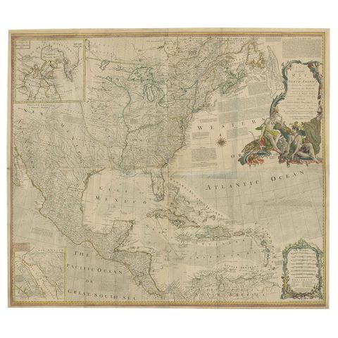
Rare Antique Wall-Map of North America: French and Indian War Boundaries, 1793
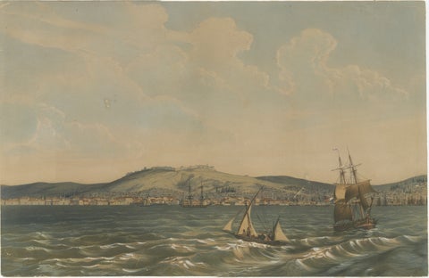
View of the Dardanelles: Fortified Hill and Ships, Hand-Colored Lithograph, 1840

Naval Battle Lithographs in Frame– Etna and Palermo Engagements of 1676, Schotel

American Soldier in Regalia: A Turn-of-the-Century Chromolithographic Portrait

Original 1841 Watercolor of Knight on Horseback by Rémy Eugène Julièn
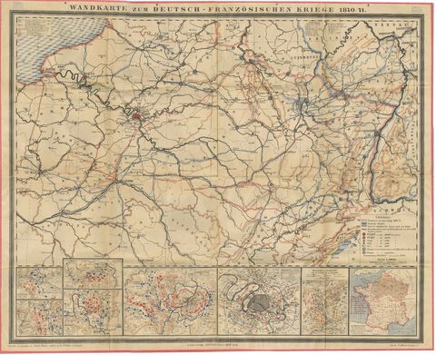
Franco-Prussian War Campaign Map of France and Germany, Original 1871
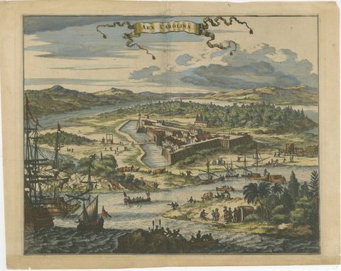
Fort Caroline in Florida, Montanus Engraving, Early America View 1671

Battle of Vienna in 1683, Etching of Christians vs Turks, Van Westerhout, 1725

Antique Print of the Horse Guards at Whitehall, Westminster, London, ca.1770

Medieval Knights, Clergy & Nobles, Set of 10 Costume Prints, 1845
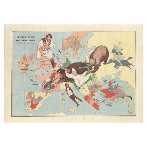
WWI Satirical Cartoon Map: 'Kill That Eagle' by J.H. Amschewitz, 1914
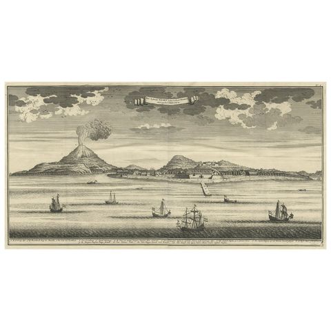
Beautiful Old View of Spice Island Banda Neira with Fort Nassau, Indonesia, 1726

Crimean War Lithograph Collection: Eight Views of Sevastopol Surroundings, 1855

Very Rare Print of Franciscus Valdesius, Commander of the Spanish Troops, 1649

19th-Century Hand-Colored Knights Jousting in Ornate Black Caparisons
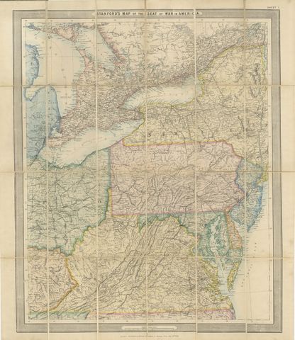
American Civil War “Seat of War” Map, Published Just After Bull Run, 1861

Decorative Plan of Antwerp with Citadel and Scheldt Forts, 1847
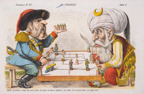
1877 Hand-Colored Russo-Turkish War Caricature by Augusto Grossi, Large Print

Antique Print of Javanese Guards Dressed in Ornamental Costume by Van Pers

19th-Century Hand-Colored Litho: Ornate Jousting Knights with Striking Heraldry
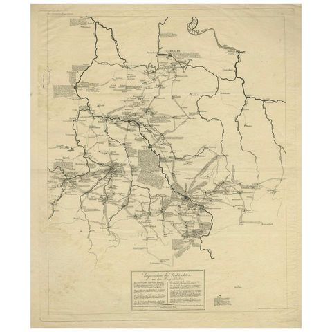
Napoleonic Wars: Germany Allied Military Campaign Map by Ausfeld, 1814
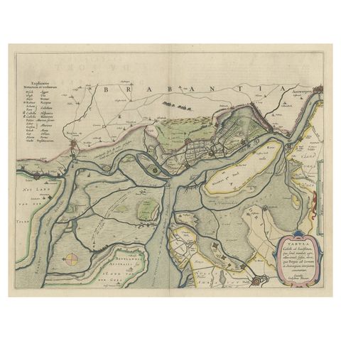
Original Map of the Military Situation After the Dutch Blockade of Antwerp, 1648

Fortress Assault Triptych, 1894 Japanese Meiji War Woodblock by Gekko

British Army Camp Scenes, Highland and Queen’s Regiments, 19th Century Pair

Hand-Colored Jousting Litho: Knights on Striped and Starry Caparisoned Horses
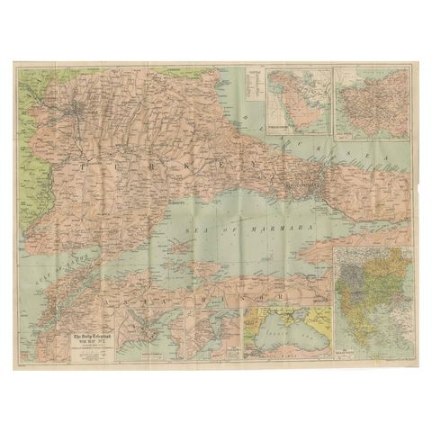
Daily Telegraph War Map 1877, Ottoman Empire, Balkans & Constantinople Antique
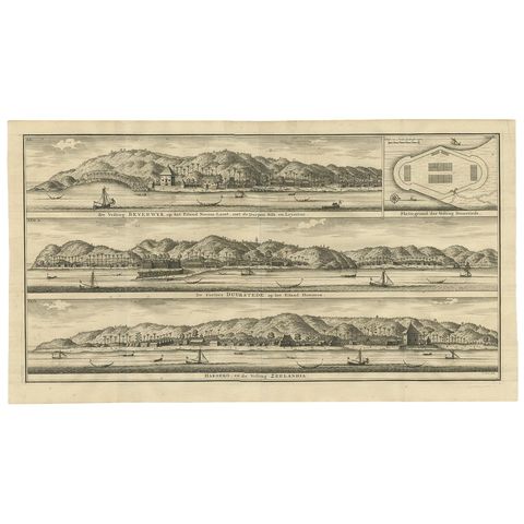
Antique Print of Fortifications in Indonesia by Valentijn '1726'

Meiji-Era Triptych of the Battle of Pyongyang in the Sino-Japanese War, 1894
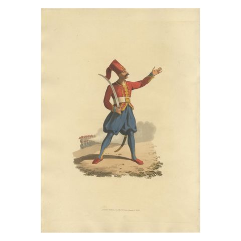
Hand-Colored Aquatint of European Infantry Officer, 1818

19th-Century Hand-Colored Lithograph of Fallen Knights and Horses Post-Joust
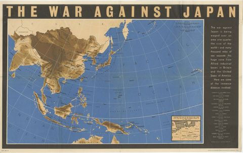
Original Vintage WWII Pacific Theater Map “The War Against Japan” Poster, 1944
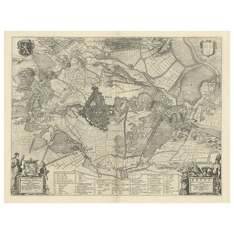
Antique Map of the Siege of Breda, City in the Netherlands by Blaeu, 1649

Rare Large 1650 Copper Engraving Depicting the Naval Battle of Gibraltar, 1607
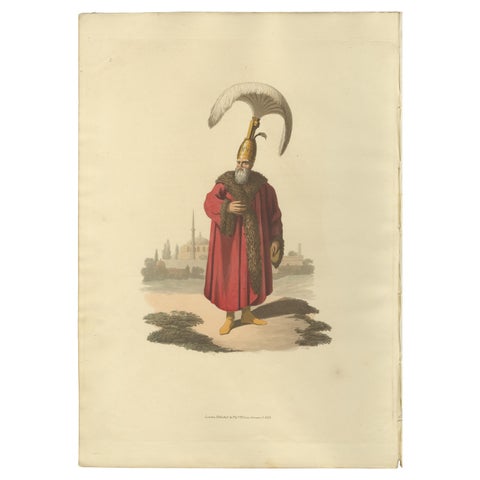
Antique Print of Capidgi Bachi Officer, the Military Costume of Turkey , 1818

Hand-Colored Knightly Joust Print: Vibrant Heraldic Horses and Armor, 1842
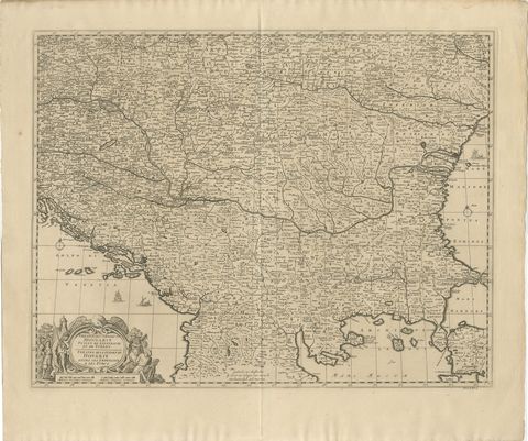
Large Map of the Habsburg–Ottoman War, Hungary & Balkans, 1729
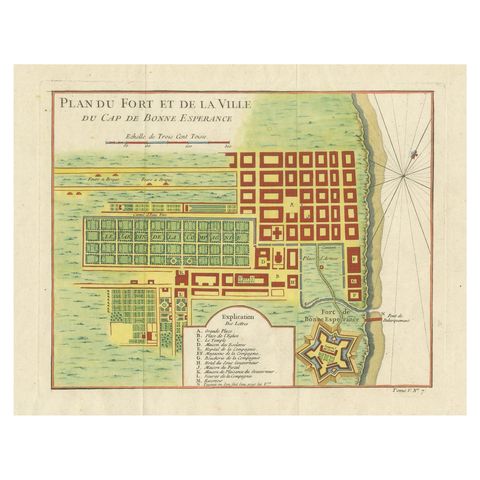
Cape of Good Hope, Fort and City Plan, French Colonial Map, c.1765

The Battle of Custoza, July 25, 1848: Commanding Officers Lead the Charge, 1850
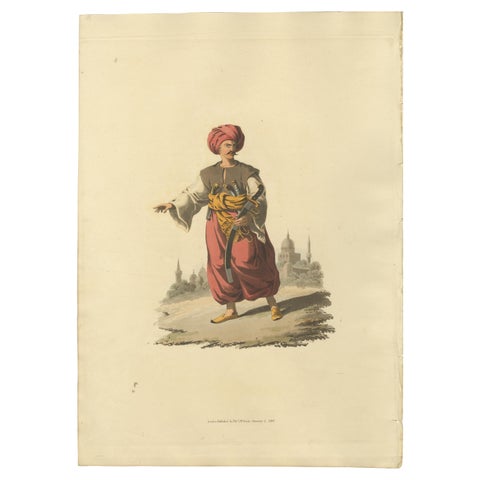
Antique Print of Mameluke of Egypt, the Military Costume of Turkey, 1818

Hand-Colored Jousting Scene: Armored Knight and Striped Caparisoned Horse 1842
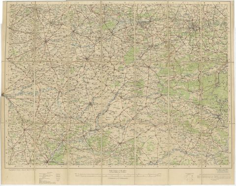
1914 WWI British War Office Map of Arras, Amiens and Reims, Edward Stanford
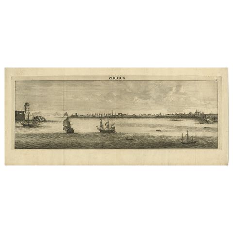
Beautiful View of Rhodes, Greece, depicting the Old Town with Fort, 1698

Heroic Roman Battle Scene, French Neoclassical Engraving, Napoleonic Era, 1804
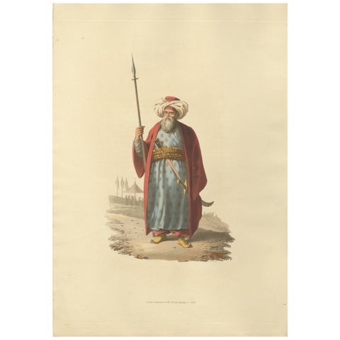
Antique Print of an Mameluke Officer, the Military Costume of Turkey , 1818

19th-Century Hand-Colored Knightly Joust: Ornate Armor & Horses in Action
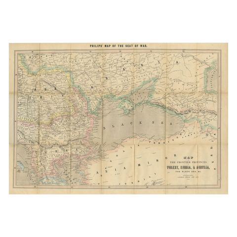
Philips Map of the Seat of War 1854, Black Sea, Turkey & Russia Antique Map
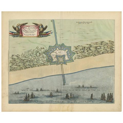
Antique Plan of Fort Mardyck Mardijk, France by S. Beaulieu, 1649

Military Procession with Spoils of War After Gerard de Lairesse Rossetti, ca1700

Mezzotint of Soldiers Near the Sutler's Tent for Tobacco, Beer and Meat, Ca.1750

19th-Century Hand-Colored Lithograph of Jousting Gentlemen in Vibrant Attire
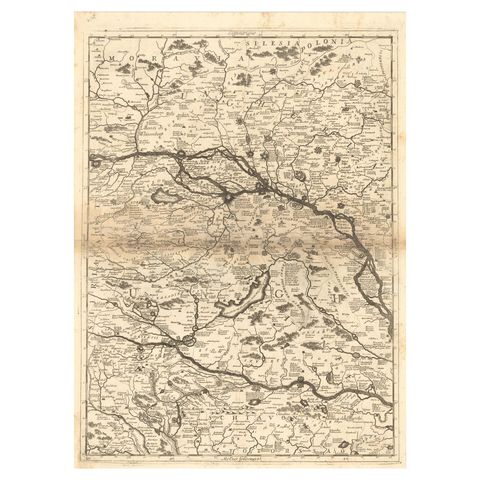
Old Map Showing Info Related to the Ottoman Wars including Conflict Dates, c1690
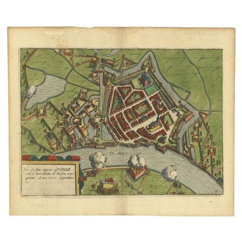
Antique Plan of the Siege of Grave by Guicciardini, c.1608

Napoleon’s Egyptian Campaign Battle Scenes, Denon Voyage Egypt Engravings 1802

Napoleonic Military Encampment, Hand-Colored Panoramic Aquatint, c1810

19th-Century Hand-Colored Lithograph of Armored Knights in Battle Scene
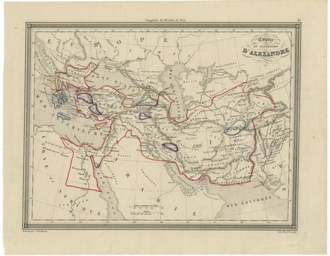
Alexander the Great’s Empire Map, Classical Campaign Routes, c.1800
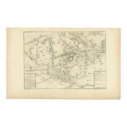
Detailed 1720s Map, Siege of Douay and Lines of Circumvallation, France

Large Mezzotint of Napoleon at the Battle of Waterloo German Print, c1850

Japanese Edo Warrior Print, Temple Guardian with Halberd, c.1850

18th Century Engraving of Ornate French Cannons, circa 1770
Antique military maps and prints
Military Maps & Prints is a collection of original antique military maps and prints from the 1600s to the 1940s: campaign and seat-of-war maps, siege plans and fortress views, battle scenes, uniform and regiment prints, and knights, armor and artillery.
Every piece is an original sheet printed in its own day, never a reproduction, and is sold by Bartele Gallery in Langweer, Friesland, a dealer in antique maps and prints. Prints ship worldwide, flat or rolled, insured and tracked, with a 14-day return policy.
Explore the map room
WARS
PLACES
Good to know
Are these maps and prints originals?
Yes. Every map and print was made in its own day, for an atlas, a newspaper, a regimental album or a history of the wars, and is sold as the original sheet. Nothing on this site is a reproduction.
What is a seat-of-war map?
A map published while a war was being fought, so that readers at home could follow the armies. Newspapers and map publishers such as Philips, Stanford and the Daily Telegraph issued them for the Crimean War, the Russo-Turkish war, the American Civil War and the First World War.
Where do the prints ship from?
From Bartele Gallery in Langweer, the Netherlands, flat between rigid boards or rolled in a tube, insured and tracked, to any country.
Can I return a print?
Yes. You may return any piece within 14 days of delivery for a full refund of the price, provided it comes back in the condition in which it was sent.
Which currency am I charged in?
Prices are set in euros. Dollar and pound prices are converted at a recent exchange rate and rounded to the nearest 5. The amount charged is confirmed before payment.