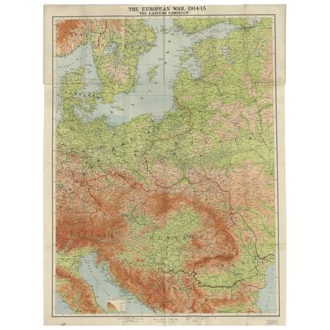
1900 and after: The world wars
Military maps and prints printed from 1900 onward: the world wars. Every one a period original.
5 pieces
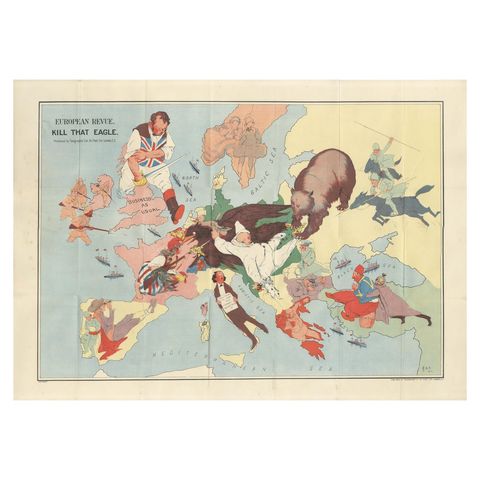
WWI Satirical Cartoon Map: 'Kill That Eagle' by J.H. Amschewitz, 1914
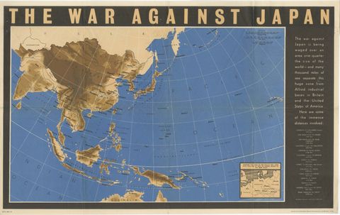
Original Vintage WWII Pacific Theater Map “The War Against Japan” Poster, 1944
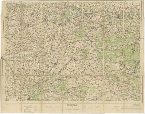
1914 WWI British War Office Map of Arras, Amiens and Reims, Edward Stanford
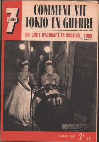
World War II Pictorial Map of India and Southeast Asia by Jacques Mercier, 1942