Campaign maps
Campaign maps, seat-of-war maps and battle plans: the Napoleonic wars, the Franco-Prussian war, the American Civil War, the Crimea, both world wars and the campaigns of Hannibal and Alexander, as they were printed for the people following them.
31 pieces
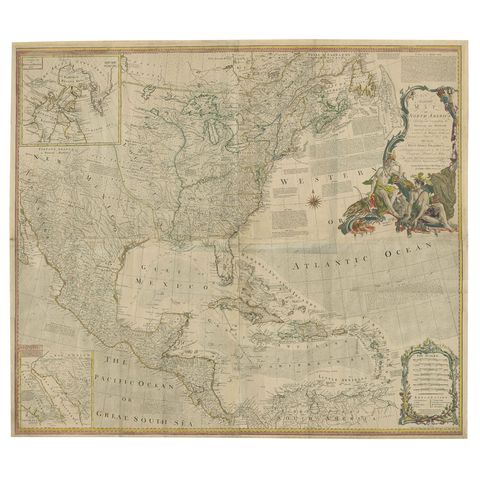
Rare Antique Wall-Map of North America: French and Indian War Boundaries, 1793
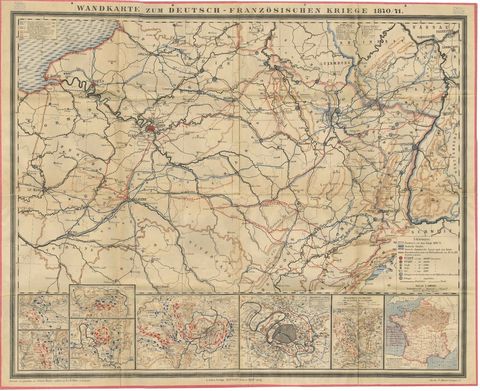
Franco-Prussian War Campaign Map of France and Germany, Original 1871
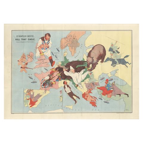
WWI Satirical Cartoon Map: 'Kill That Eagle' by J.H. Amschewitz, 1914
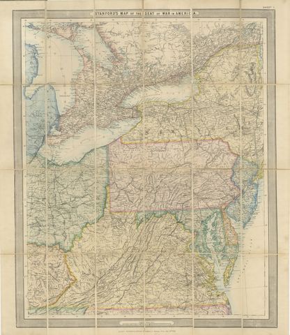
American Civil War “Seat of War” Map, Published Just After Bull Run, 1861
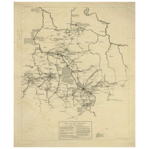
Napoleonic Wars: Germany Allied Military Campaign Map by Ausfeld, 1814
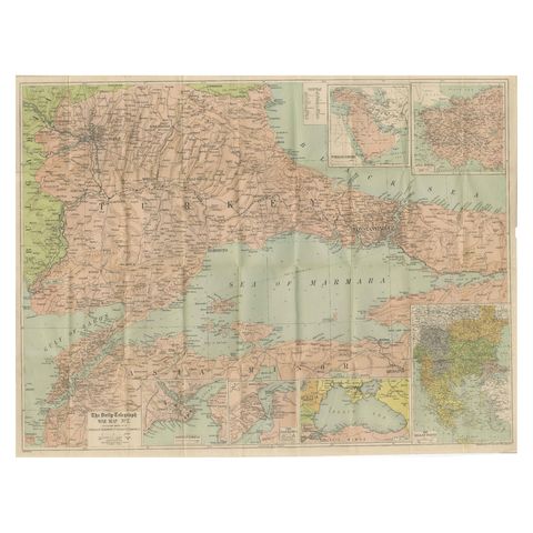
Daily Telegraph War Map 1877, Ottoman Empire, Balkans & Constantinople Antique
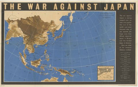
Original Vintage WWII Pacific Theater Map “The War Against Japan” Poster, 1944
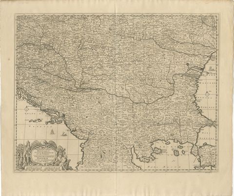
Large Map of the Habsburg–Ottoman War, Hungary & Balkans, 1729
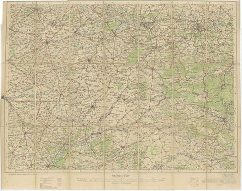
1914 WWI British War Office Map of Arras, Amiens and Reims, Edward Stanford
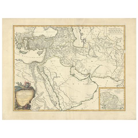
Antique Map of Alexander the Great's Empire & Campaigns, de Vaugondy, 1753
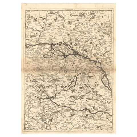
Old Map Showing Info Related to the Ottoman Wars including Conflict Dates, c1690
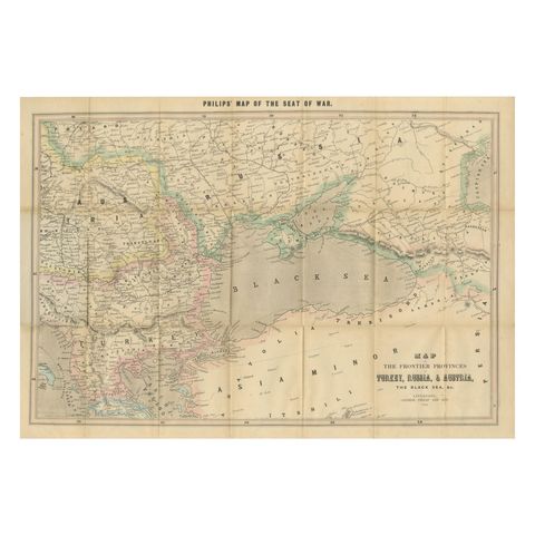
Philips Map of the Seat of War 1854, Black Sea, Turkey & Russia Antique Map
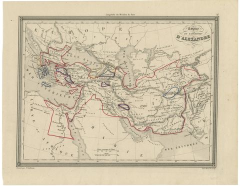
Alexander the Great’s Empire Map, Classical Campaign Routes, c.1800
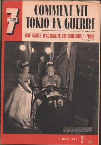
World War II Pictorial Map of India and Southeast Asia by Jacques Mercier, 1942
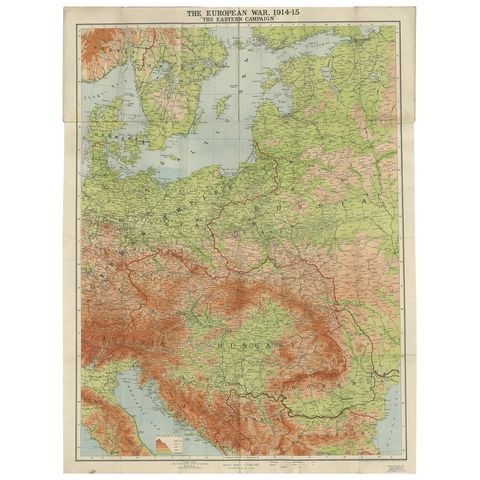
Antique European War Folding Map, ‘circa 1915’
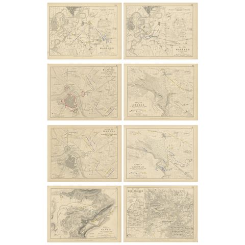
Set of 8 Battle Plans, Rivoli, Arcole, Mantua, Marengo, Hohenlinden, 1852
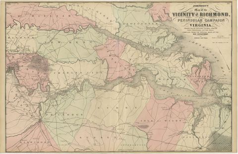
1862 Johnson's Map of the Vicinity of Richmond & Peninsular Campaign, Virginia
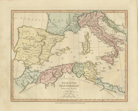
Hannibal’s Campaign Map, Spain to Italy via Alps, Wilkinson London 1817
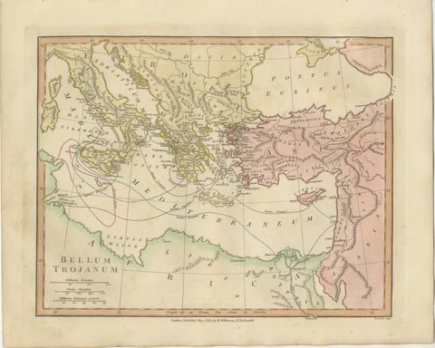
Antique Trojan War Map, Bellum Trojanum Mediterranean, Wilkinson 1815
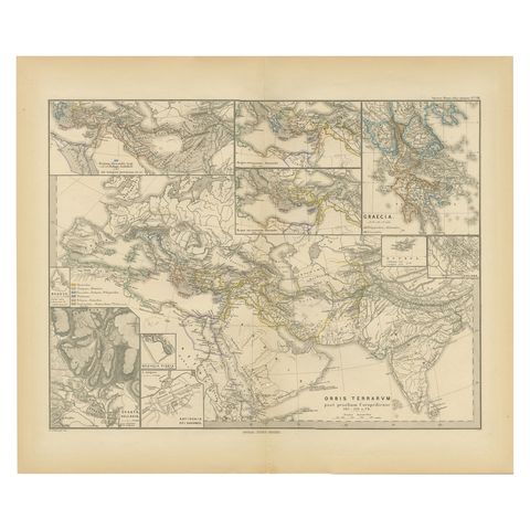
The World After the Battle of Corupedium: Hellenistic Kingdoms Map, 1880
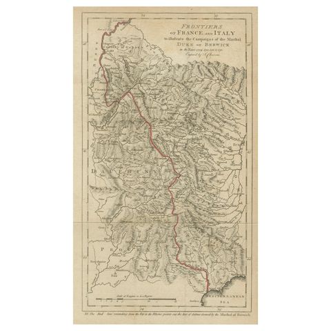
Frontiers of France and Italy, Duke of Berwick Campaigns Map, 1707–1712
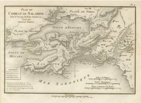
Original Antique Battle Map of Salamis, Ambroise Tardieu, 1821
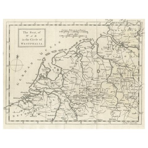
Seat of War Westphalia Map, Antique Military Map Netherlands Germany, 1763
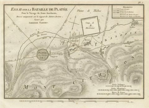
Battle of Plataea Ancient Greece Military Map by Ambroise Tardieu, 1825
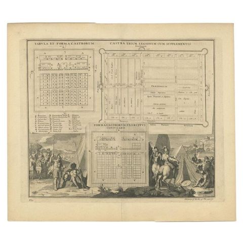
Antique Roman Battle Plan of a Camp by Duncan, c.1753
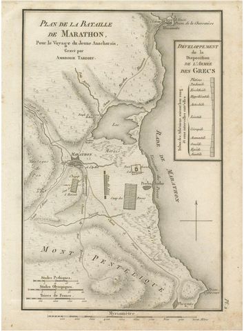
Antique Plan of the Battle of Marathon by Ambroise Tardieu, 1825
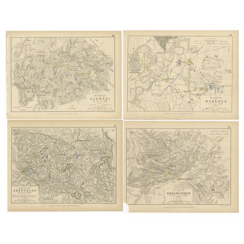
Four Antique Battle Plans of Echmühl, Hohenlinden, Abensberg and Marengo, 1852
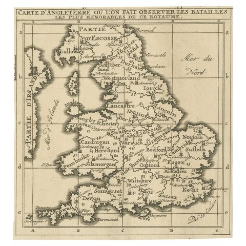
Original Antique Map of England, Showing the Most Memorable Battles
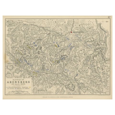
Antique Plan of the Battle of Abensberg in Germany
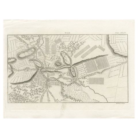
Antique War Map of the Region of Mons 'Bergen', Belgium, circa 1810
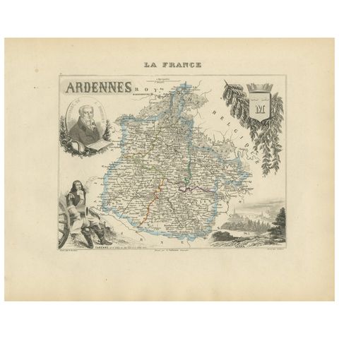
Map of Ardennes France with Sedan and Military History by Vuillemin, c.1850
About campaign maps
A campaign map tells the story of a war on one sheet: the frontiers, the roads and rivers the armies followed, the fortresses they had to take and, often, the places and dates of the battles. Many were published while the fighting was still going on, by newspapers and map makers who knew their readers wanted to follow the news.
The collection runs from 18th-century maps of the seat of war in Westphalia and the Habsburg-Ottoman frontier, through the allied campaign maps of 1814 and the Crimean and Russo-Turkish seat-of-war maps, to the American Civil War, the Franco-Prussian war, the British War Office maps of 1914 and the Pacific theatre of 1944. Classical campaign maps of Hannibal, Alexander and the Greek battles complete it.
Explore by war, place and subject
WARS
PLACES
Questions about campaign maps
Were these maps used in the field?
Some were: the British War Office maps of 1914 were made for officers. Most were made for the public, in atlases and newspapers, so that readers could follow a war from home.
How should a large folding war map be framed?
Flatten it under weight before framing rather than ironing it, hinge it with reversible paper tape onto acid-free board, and use UV-filtering glazing. Fold lines are normal on these maps and are part of their history.