Sieges & fortresses
Siege plans, fortification plans and views of forts and fortresses: the star forts of the Low Countries, the sieges of Breda, Grave and Douai, the trading forts of the Gold Coast and the Dutch East Indies, and the frontier forts of North America.
110 pieces
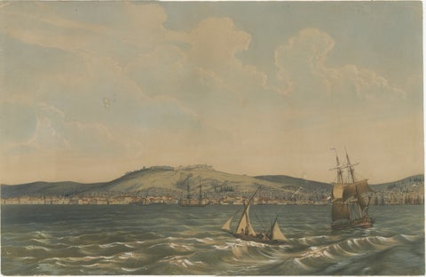
View of the Dardanelles: Fortified Hill and Ships, Hand-Colored Lithograph, 1840
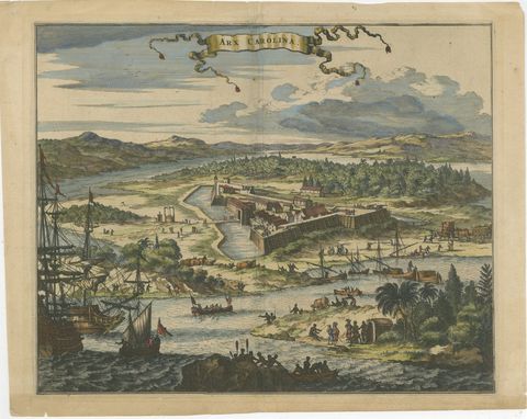
Fort Caroline in Florida, Montanus Engraving, Early America View 1671
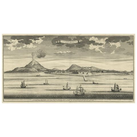
Beautiful Old View of Spice Island Banda Neira with Fort Nassau, Indonesia, 1726
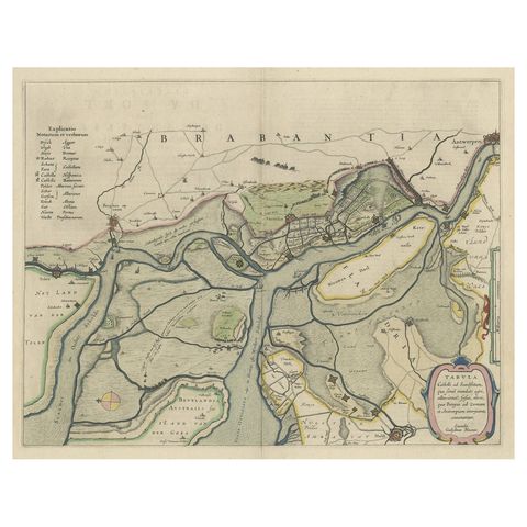
Original Map of the Military Situation After the Dutch Blockade of Antwerp, 1648
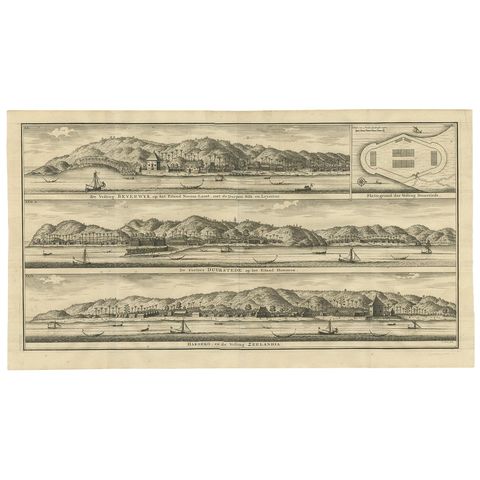
Antique Print of Fortifications in Indonesia by Valentijn '1726'
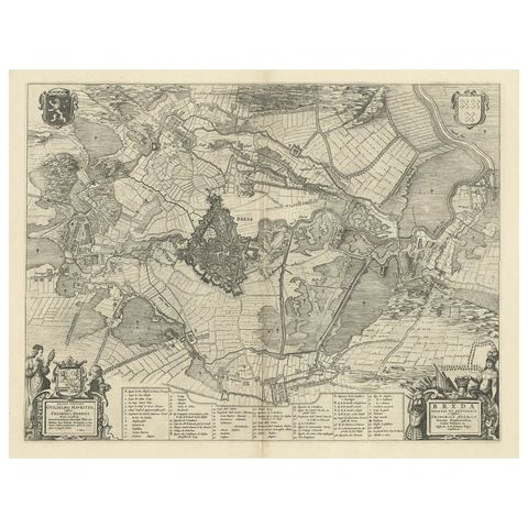
Antique Map of the Siege of Breda, City in the Netherlands by Blaeu, 1649
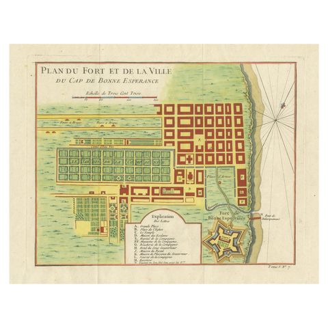
Cape of Good Hope, Fort and City Plan, French Colonial Map, c.1765
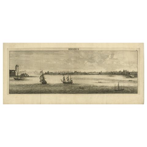
Beautiful View of Rhodes, Greece, depicting the Old Town with Fort, 1698
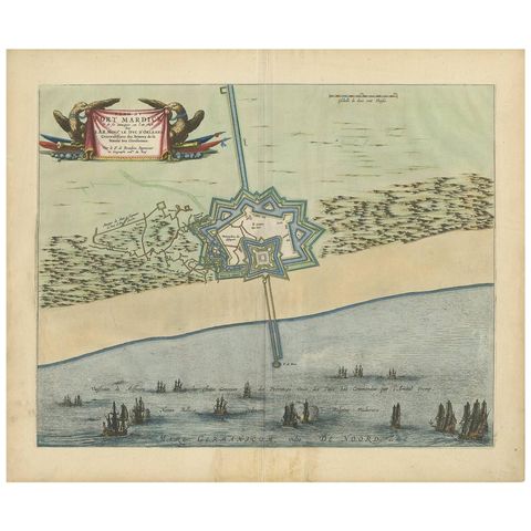
Antique Plan of Fort Mardyck Mardijk, France by S. Beaulieu, 1649
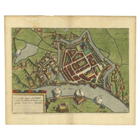
Antique Plan of the Siege of Grave by Guicciardini, c.1608
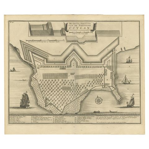
Antique Print of the Fort at Kollam ‘India’ by Valentijn, 1726
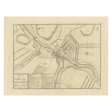
Detailed 1729 Battle Map, Allied Army Camp at Denain France, 1712 Siege
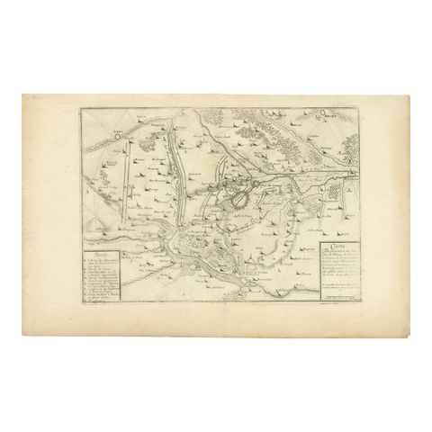
Detailed 1720s Map, Siege of Douay and Lines of Circumvallation, France
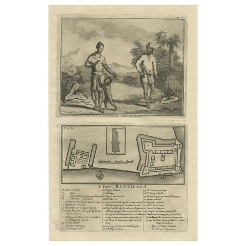
Old Print of the Fort at Batticaloa in the Eastern Province Sri Lanka (Ceylon)
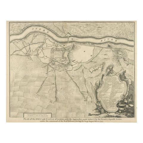
Antique Plan of the Fortifications of Lleida, Spain
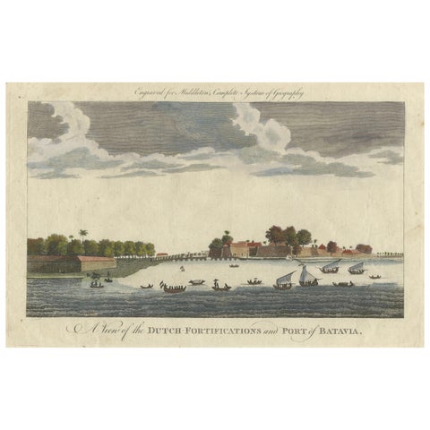
1778 View of the Dutch Fortifications and Port of Batavia, Now Jakarta
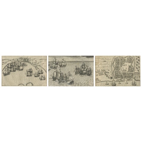
Dutch Fleet and Fortified Port City of Bantam, from History of Amsterdam, 1611
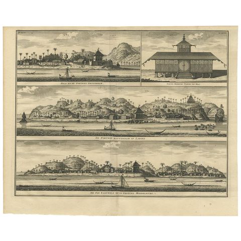
Antique Print of Hila and Fortresses by Valentijn '1726'
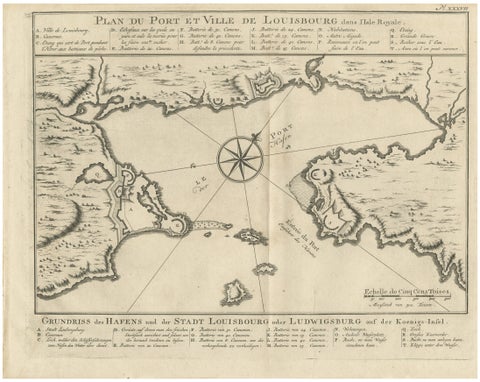
Plan of Louisbourg Harbor and Fortress, Cape Breton Island, c.1756
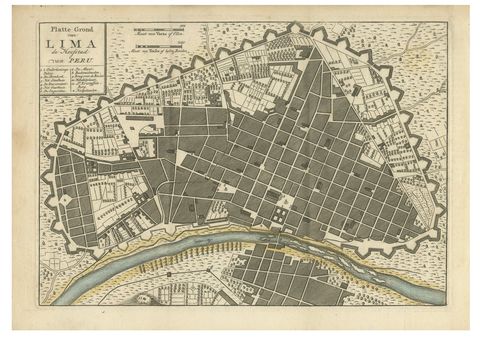
Antique Map of Lima Peru by Isaak Tirion, City Plan with Fortifications, 1769
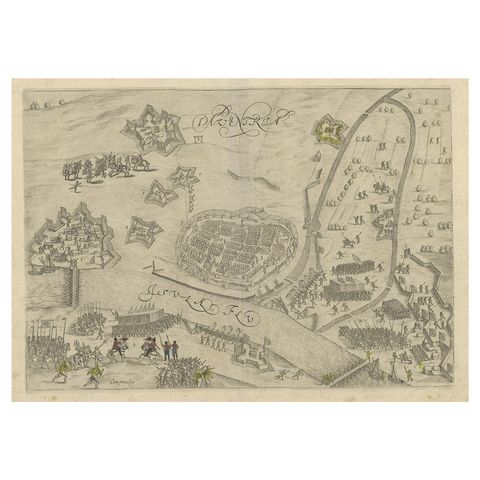
Antique Map of the 1591 Siege and Occupation of Deventer City, Holland, c1610
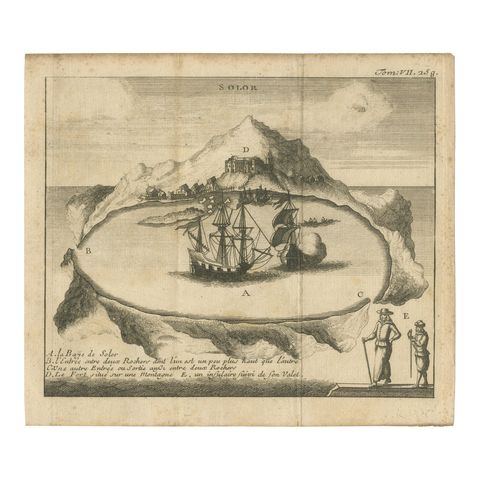
Rare 17th Century Engraving of Solor Island Fort and Bay, Indonesia, circa 1670
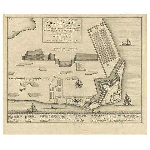
Antique Print of Cranganore Fort, India by Valentijn, 1726
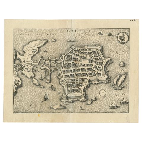
Bird’s-Eye View Map of Gallipoli: Fortified Ionian Gem by Mattheus Merian, 1688
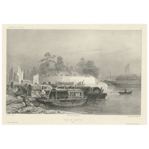
Antique Print of a Fortress in Guangzhou in China, c.1850
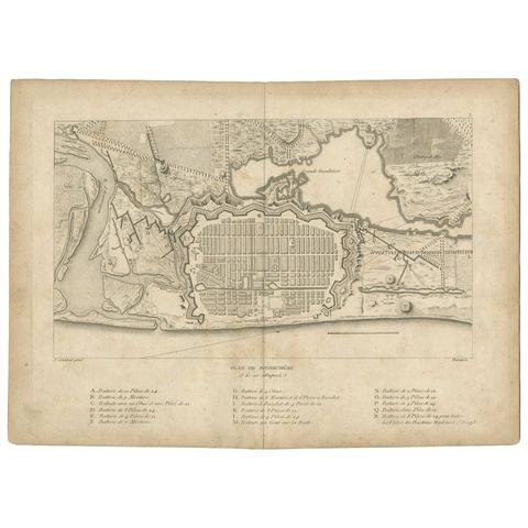
Plan of Pondicherry Fortifications and Attacks, France, c.1750
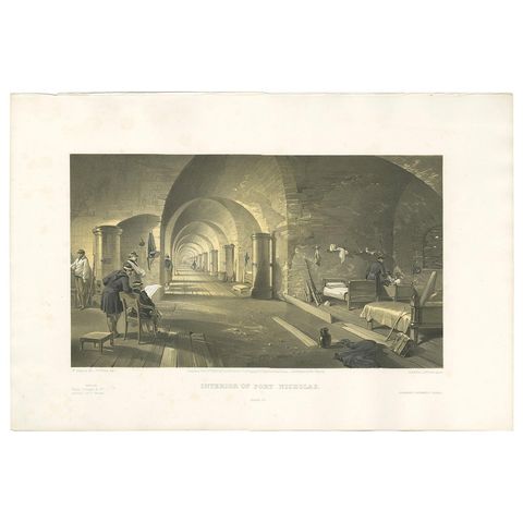
Antique Print of Fort Nicholas 'Crimean War' by W. Simpson, 1855
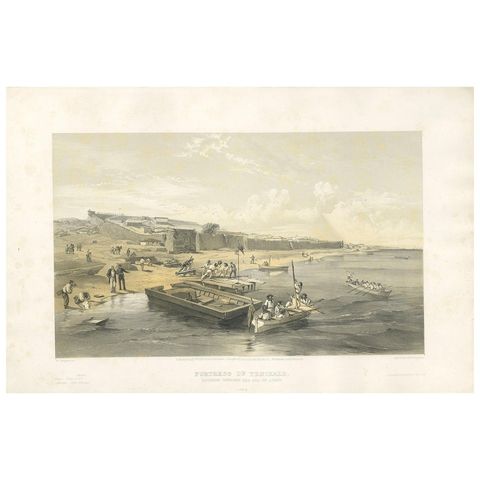
Antique Print of the Fortress of Yenikale 'Crimean War' by W. Simpson, 1855
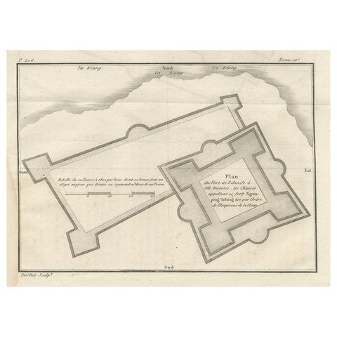
Plan of the Dutch Fort in Formosa, Antique French Jesuit Engraving, ca.1790
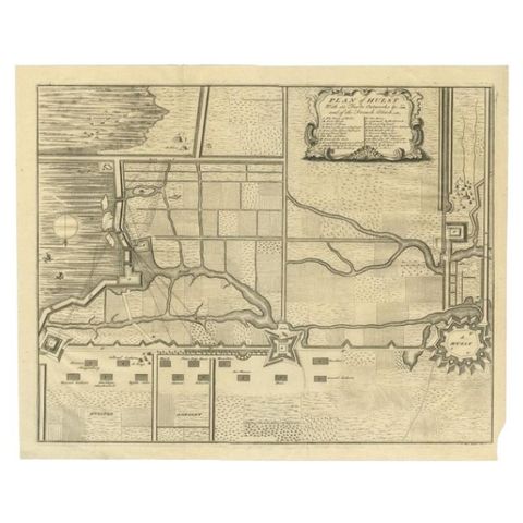
Plan of Hulst with its Forts and Outworks, Holland, War of Spanish Succession
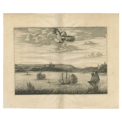
Antique Print of a Fort on the Gold Coast of Africa by Dapper, c.1670
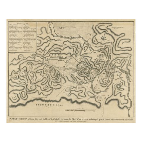
Antique Plan of the Siege of the Castle of Cardona in 1714
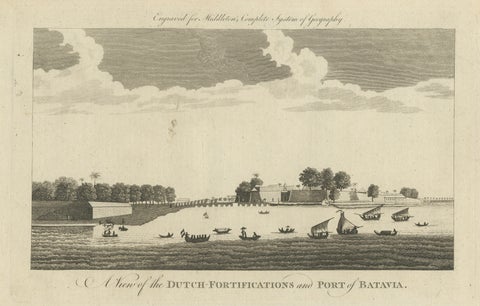
Antique View of Batavia Port Jakarta, Dutch VOC Fortifications 1778
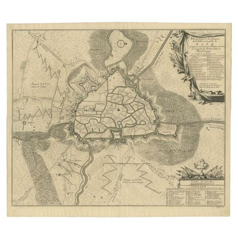
Antique Map of the Siege of Gent by Dumont, 1729
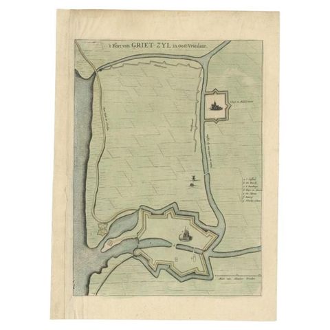
Antique Plan of the Fortress of Greetsiel, Germany, by Blaeu, c.1650
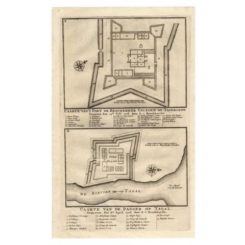
Antique Print of the Fortress on Cheribon or Cirebon, Java, Indonesia, 1726
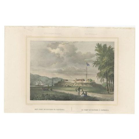
Antique Print with View of Fort Duurstede on Saparua, Indonesia, 1844
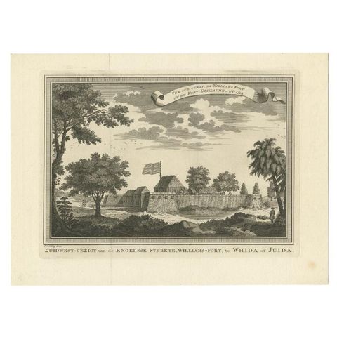
Antique Print of Fortresses in Ouidah in Africa, '1748'
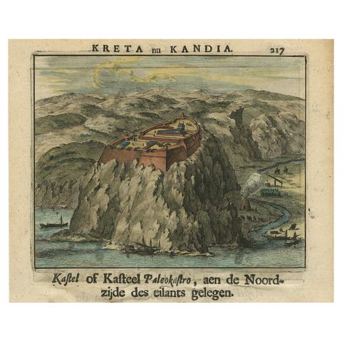
Venetian Fortress Paleokastro on Crete, Antique Print, Hand-Coloured, 1688
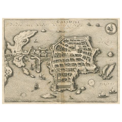
Gallipoli Fortifications: A 1688 Engraved Bird’s-Eye Map by Mattheus Merian
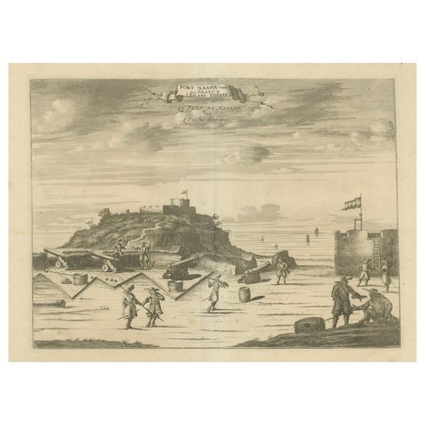
Fort Nassau on the Island of Goree, Dutch Colonial Engraving, c.1700
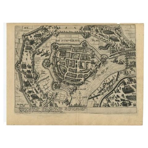
Antique Plan of Grave, The Netherlands, Showing the Siege of Grave in 1602
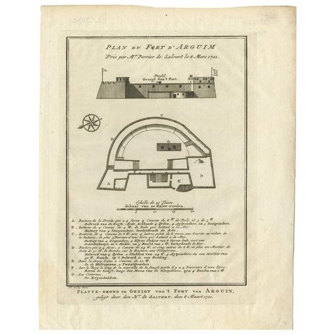
Antique Print of the Fortress of Arguin 'Mauritania, Africa, circa 1747
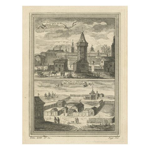
Antique Print of a Fortress and Prison in Siberia, Russia, 1768
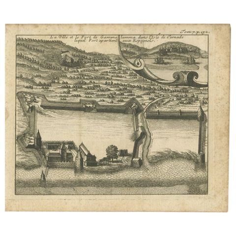
Antique Print of the Town and Fortress of Ternate by Renneville, 1725
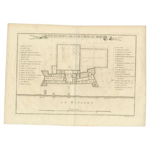
Antique Print of Fort St. Louis Near the Senegal River, circa 1747
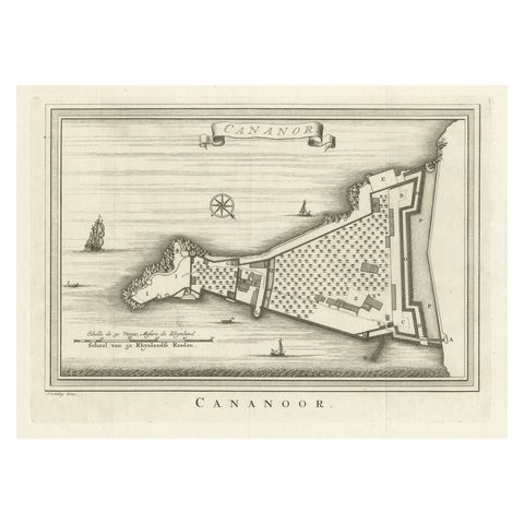
Antique Print of Cannanore Fort, Kerala, India
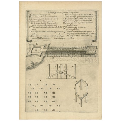
Duke of Parma’s 1585 Ship Bridge Plan: Siege of Antwerp Engineering Print
About sieges & fortresses
Siege warfare shaped the towns of Europe. From the 1500s Italian, Dutch and French engineers surrounded cities with angled bastions, moats and outworks, and every siege produced a plan: the lines of the besiegers, their trenches and batteries creeping towards the walls, and the date the town fell.
The collection includes siege plans of the Eighty Years' War from Guicciardini and Blaeu, the sieges of Douai, Denain and Gent from the War of the Spanish Succession, French plans of Pondicherry, Louisbourg and the Cape of Good Hope, and views of the forts that guarded trade on the Gold Coast, the Malabar coast and in the Dutch East Indies.
Explore by war, place and subject
WARS
PLACES
Questions about sieges & fortresses
What is a star fort?
A fortress with angled bastions projecting from its walls, so that defenders could cover every approach with cannon fire. The design spread from Italy in the 1500s and was perfected by Dutch and French engineers such as Coehoorn and Vauban.
What are lines of circumvallation?
The trenches and earthworks a besieging army dug around a town, facing outwards to protect the besiegers against a relieving army. Siege plans show them alongside the lines of attack against the walls.