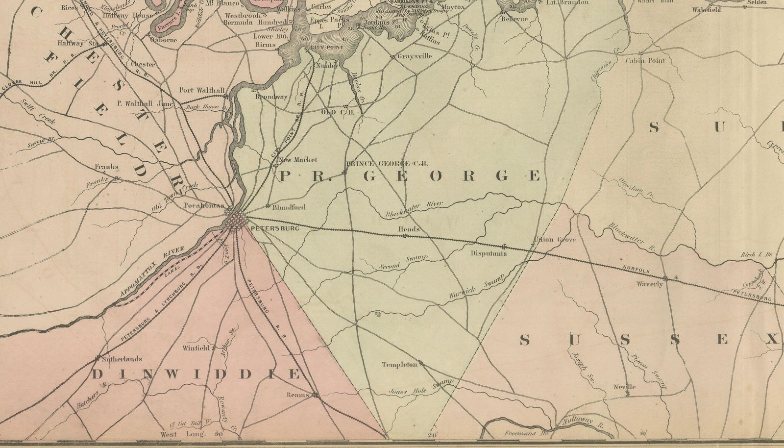
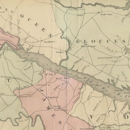
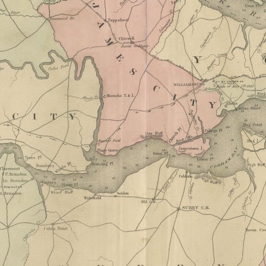
Close-ups
Framed and on the wall
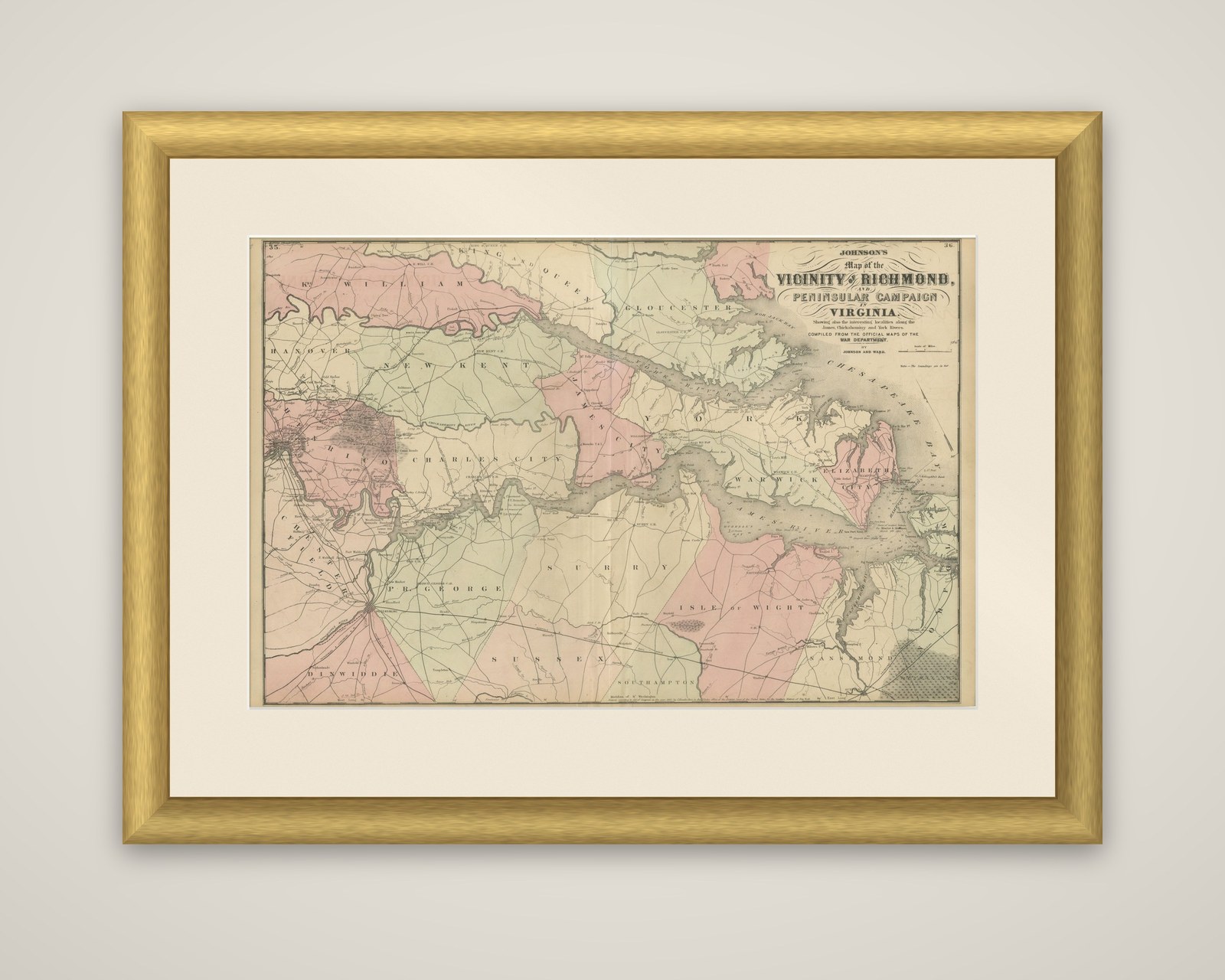


Frame and rooms are illustrations of how the piece could look; it is sold unframed unless the description says otherwise.
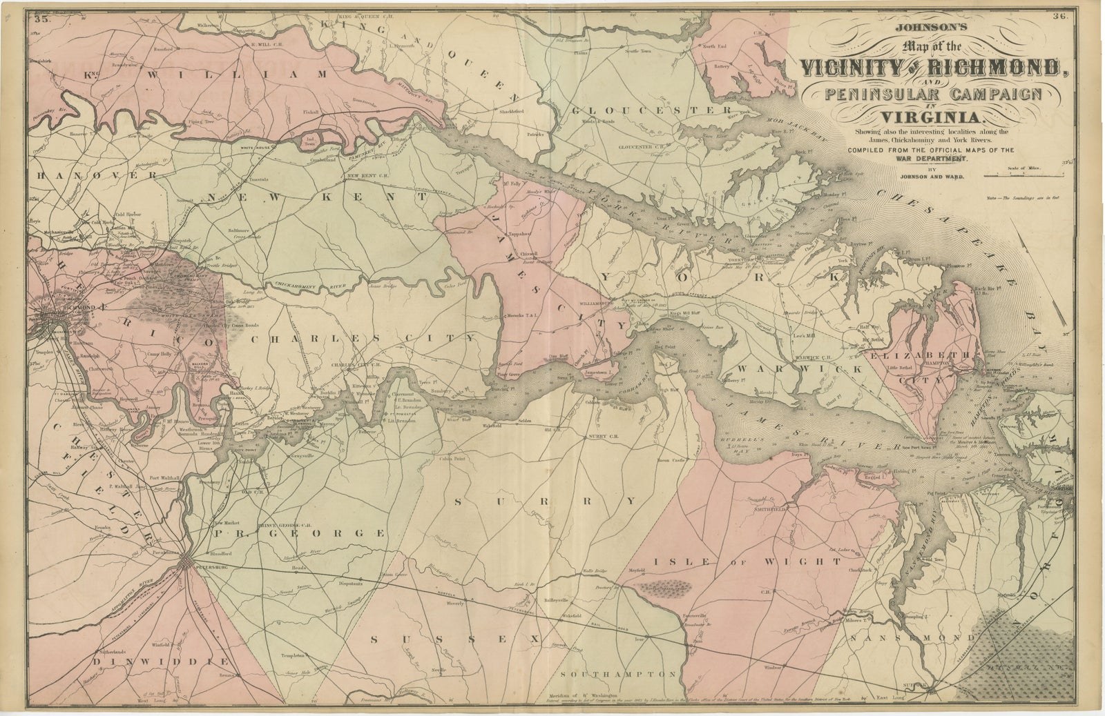
1862 Johnson's Map of the Vicinity of Richmond & Peninsular Campaign, Virginia
€390
$440 · £330
Original print, not a reproduction.
Ships worldwide from the Netherlands, flat, insured and tracked. 14-day returns. To buy, use Ask a question and we will reserve it for you.
- Date
- 1862
- Sheet size
- 18.1 × 28 in (46 × 71 cm)
- Condition
- Good. Condition, with light yellowing along the edges, consistent with its age. The central fold, from its original inclusion in an atlas, is evident but well-maintained. The colors are bright.
- Collection
- Campaign maps
- Era
- 1816 to 1899, Empire and industry
- Stock no.
- f_42436602
Johnson's Map of the Vicinity of Richmond and Peninsular Campaign, Virginia, an original steel-engraved map published by Johnson and Ward in 1862, with outline and wash color by county. The long title in the upper right corner continues "showing also the interesting localities along the James, Chickahominy and York Rivers, compiled from the official maps of the War Department."
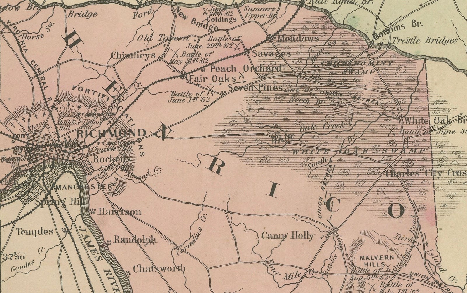
The sheet covers the tidewater country between the York and James Rivers, from Richmond at the left edge to the Chesapeake Bay at the right. County names are lettered in large capitals, among them Hanover, New Kent, Charles City, James City, York, Warwick, Surry, Isle of Wight and Sussex, and each is tinted in pink or green. Roads and railroads run between the towns, the winding James River widens into its estuary toward Hampton Roads, and the shaded relief of Richmond lies at the left. The Chickahominy and the Pamunkey country to the north are drawn in the same detail.
The map was issued while George B. McClellan's Army of the Potomac was campaigning up the Peninsula in the spring and summer of 1862, and it follows the ground between Yorktown, Williamsburg and Richmond over which that campaign was fought.