Close-ups
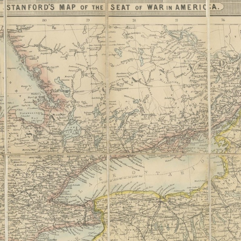
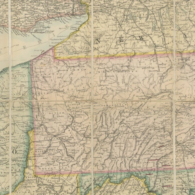
Framed and on the wall
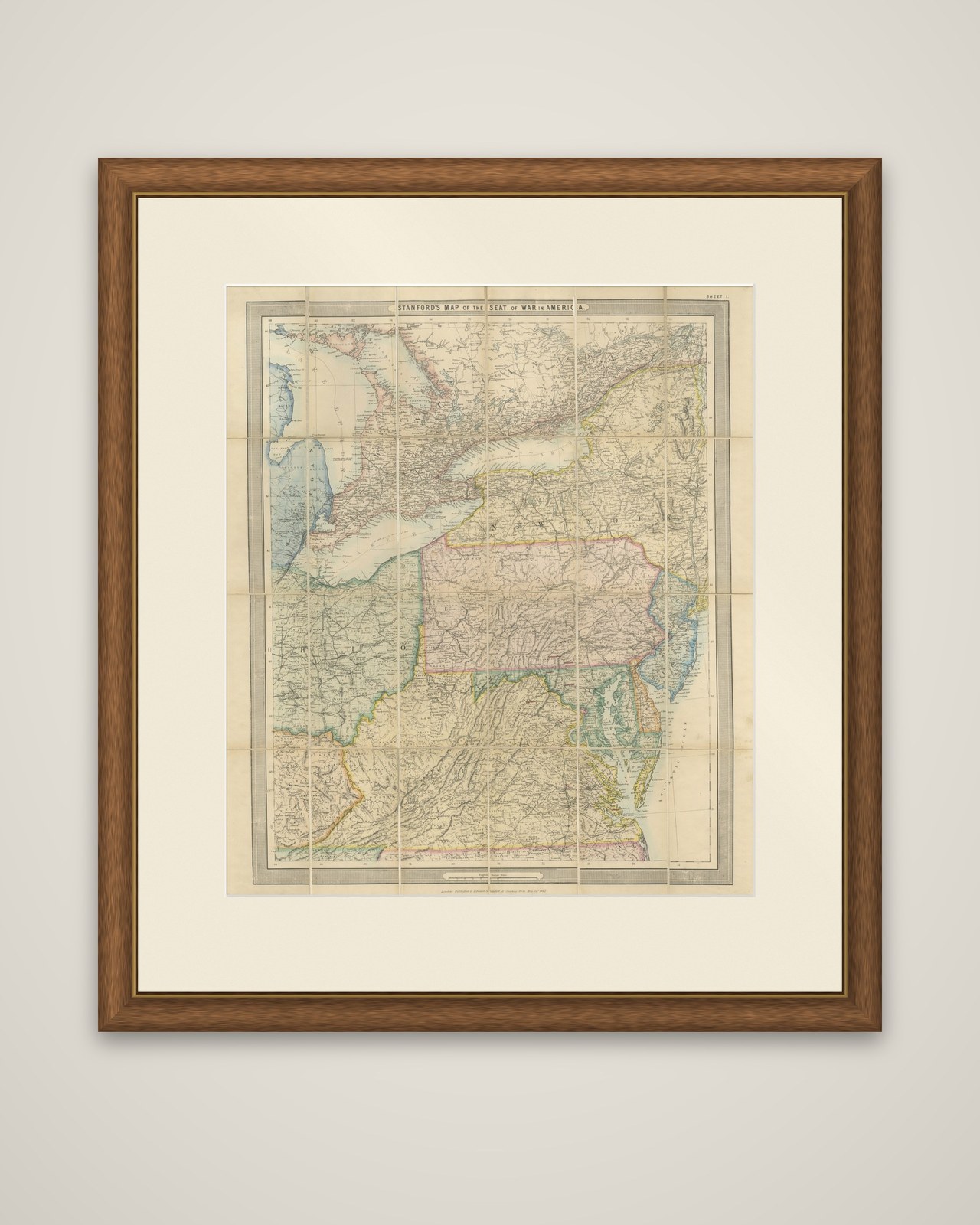
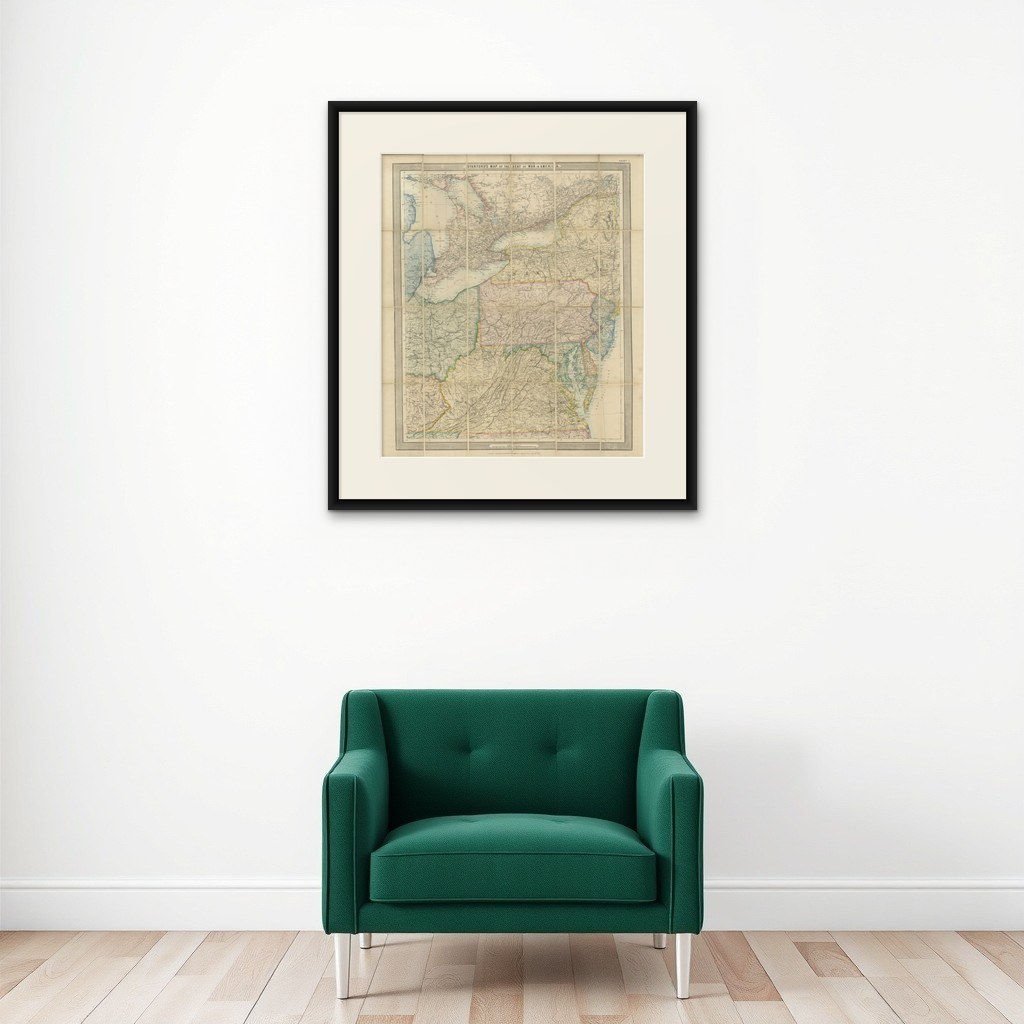

Frame and rooms are illustrations of how the piece could look; it is sold unframed unless the description says otherwise.
American Civil War “Seat of War” Map, Published Just After Bull Run, 1861
€1,940
$2,185 · £1,645
Original print, not a reproduction.
Ships worldwide from the Netherlands, flat, insured and tracked. 14-day returns. To buy, use Ask a question and we will reserve it for you.
- Date
- 1861
- Sheet size
- 24.1 × 28.1 in (61.3 × 71.5 cm)
- Condition
- Good. Wear consistent with age and use. Good antique condition consistent with age and use. Folding in sections and mounted on linen as issued. General toning, soiling, mottling, handling marks and wear are present, with some discoloration along the folds and margins.
- Collection
- Campaign maps
- Era
- 1816 to 1899, Empire and industry
- Stock no.
- f_51693642
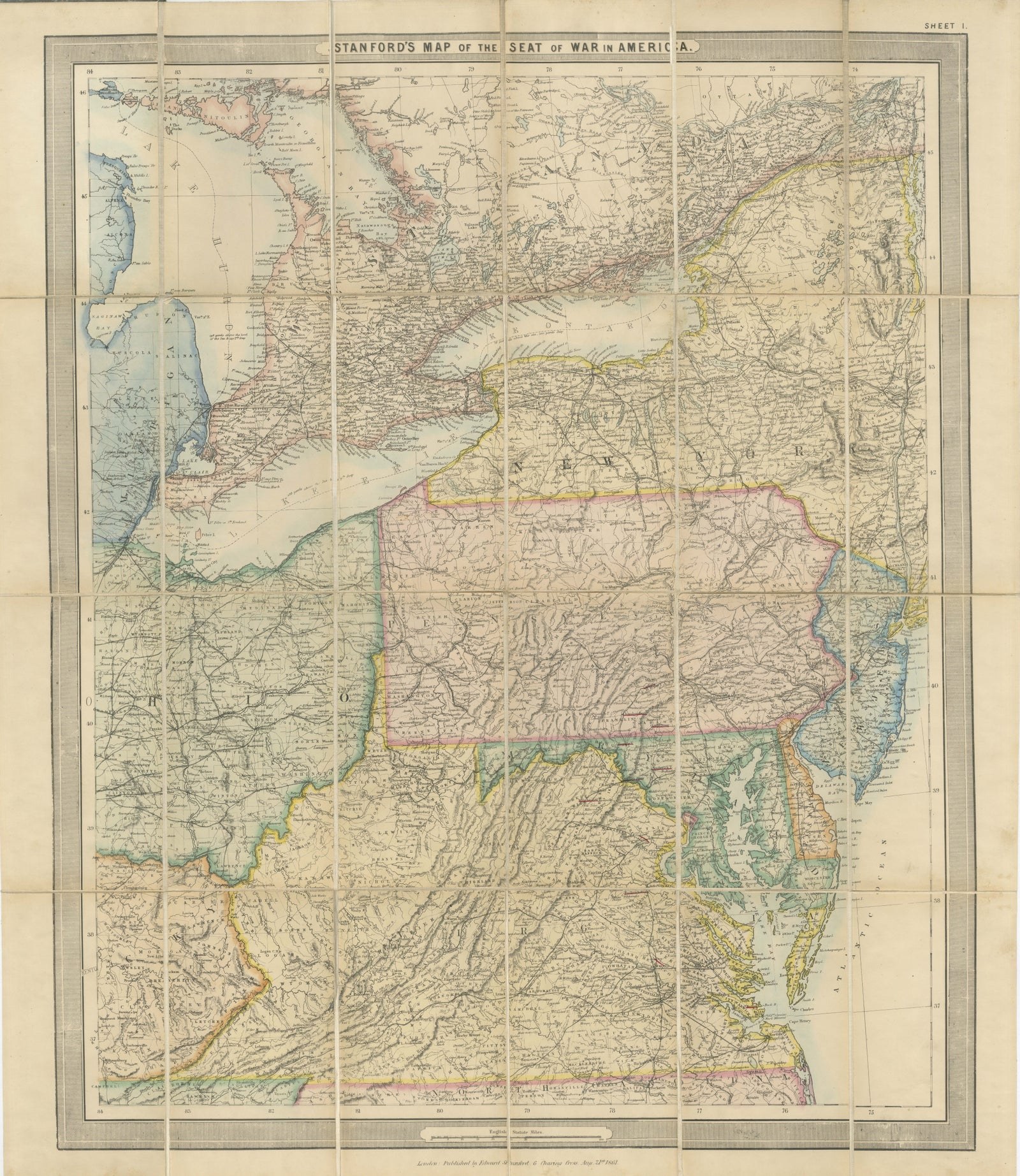
"Stanford's Map of the Seat of War in America", published in London by Edward Stanford on 21 August 1861, a few weeks after the First Battle of Bull Run. It is a lithographed map with hand-colored state boundaries, issued folding in sections and mounted on linen. The sheet is lettered "Sheet I".
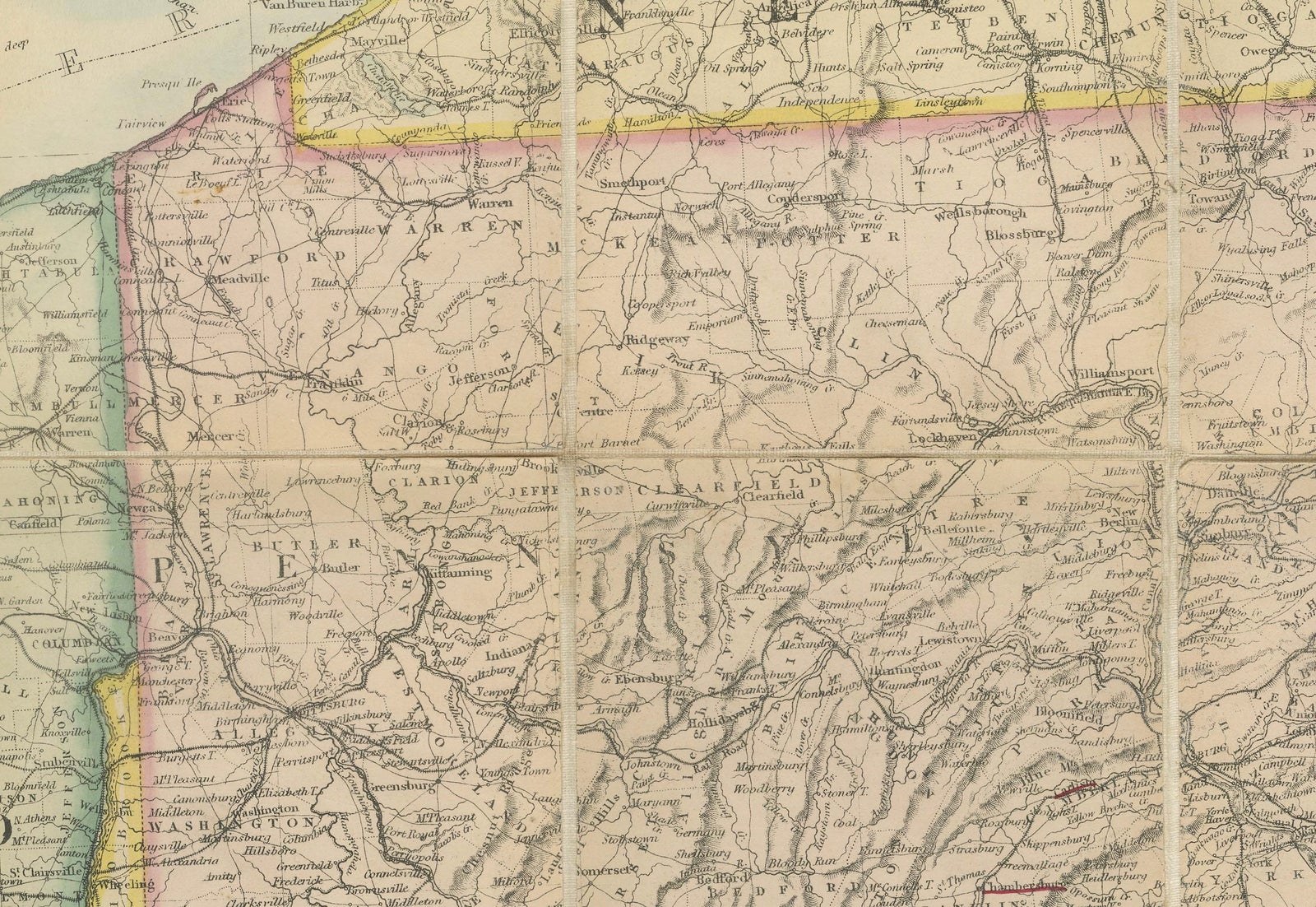
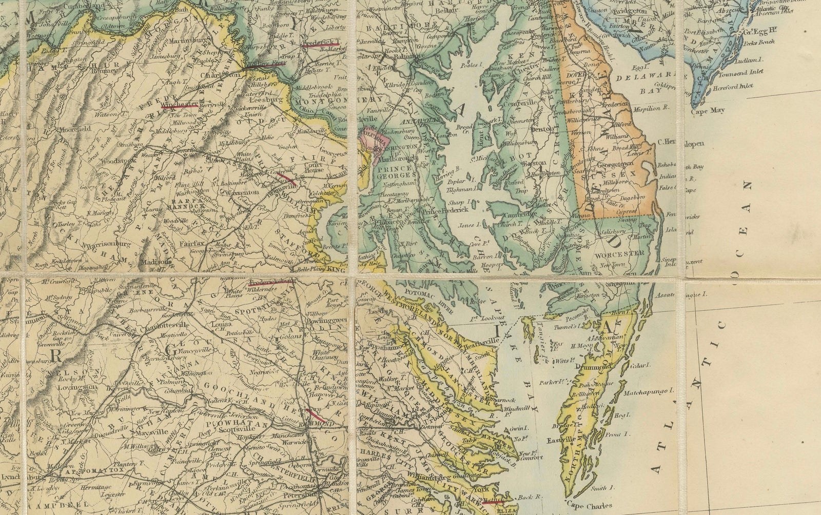
This sheet covers the northeastern part of the war theater. Lakes Huron, Erie and Ontario and the settled southern part of Canada West fill the top left, with Lake Ontario and the St. Lawrence at the head of New York State. Below them are Pennsylvania in the center, with New Jersey and Delaware to the east, Ohio at the left and Maryland and Virginia across the bottom, down to Chesapeake Bay and the Virginia coast. Roads, railways, rivers and county seats are marked throughout, and the state outlines are picked out in pink, yellow and green.
The map was issued for a British readership following the outbreak of hostilities, when newspapers in Britain were carrying daily reports from Virginia, and it shows the ground between Washington and the Union heartland. The linen backing and folding panels were the usual format for a working campaign map.