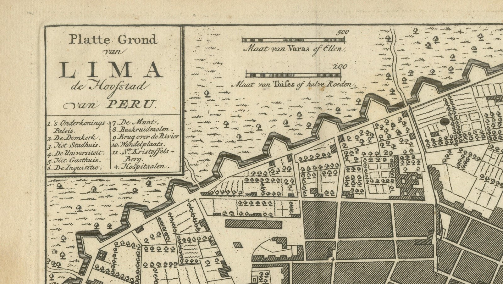
Close-ups
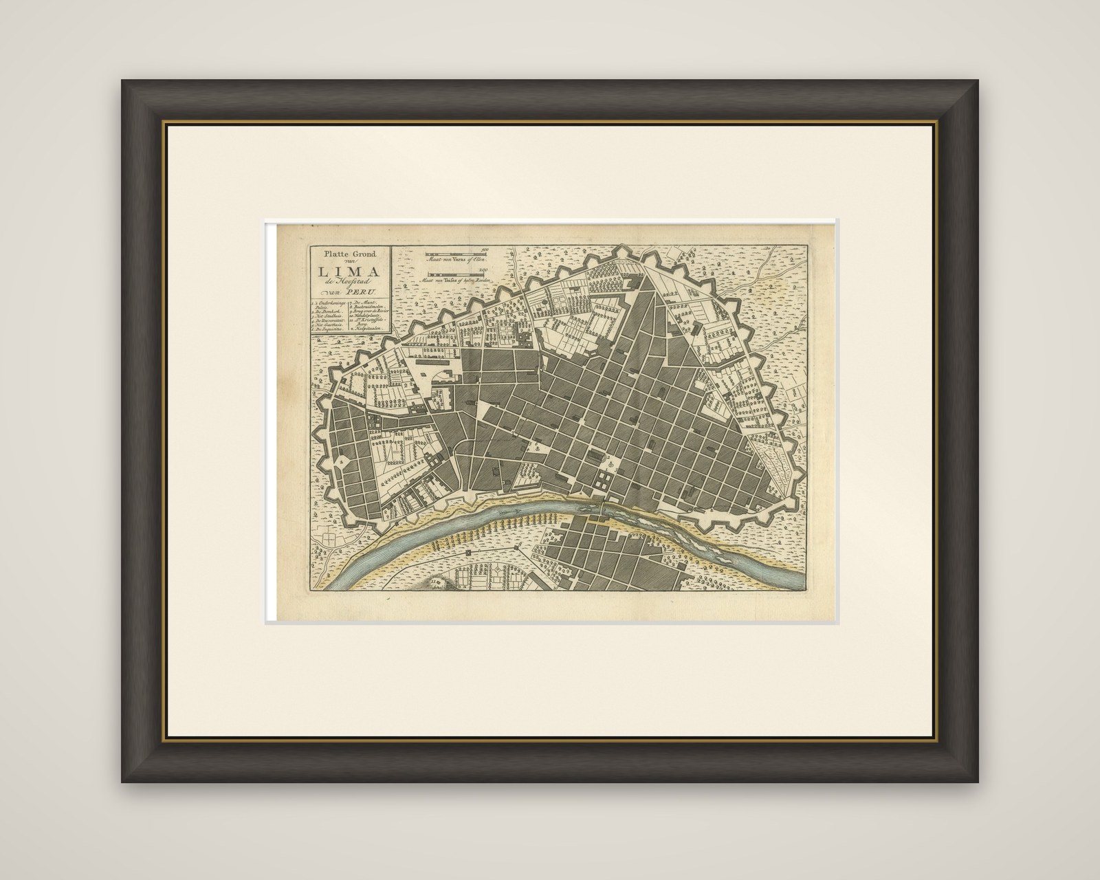
Framed and on the wall
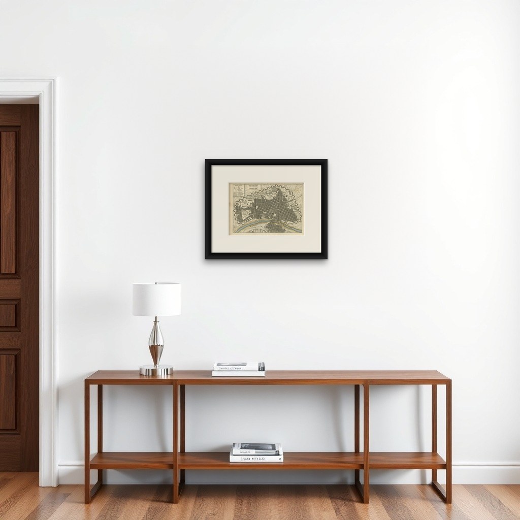

Frame and rooms are illustrations of how the piece could look; it is sold unframed unless the description says otherwise.
Antique Map of Lima Peru by Isaak Tirion, City Plan with Fortifications, 1769
$445
€395 · £335
Original print, not a reproduction.
Ships worldwide from the Netherlands, flat, insured and tracked. 14-day returns. To buy, use Ask a question and we will reserve it for you.
- Date
- 1769
- Sheet size
- 8.5 × 12 in (21.7 × 30.5 cm)
- Condition
- Good. Good condition, considering its age. General age-related toning, minor marks and wear along the sheet edges. Please study the image carefully.
- Collection
- Sieges & fortresses
- Era
- 1700 to 1789, Wars of the line
- Stock no.
- f_51217172
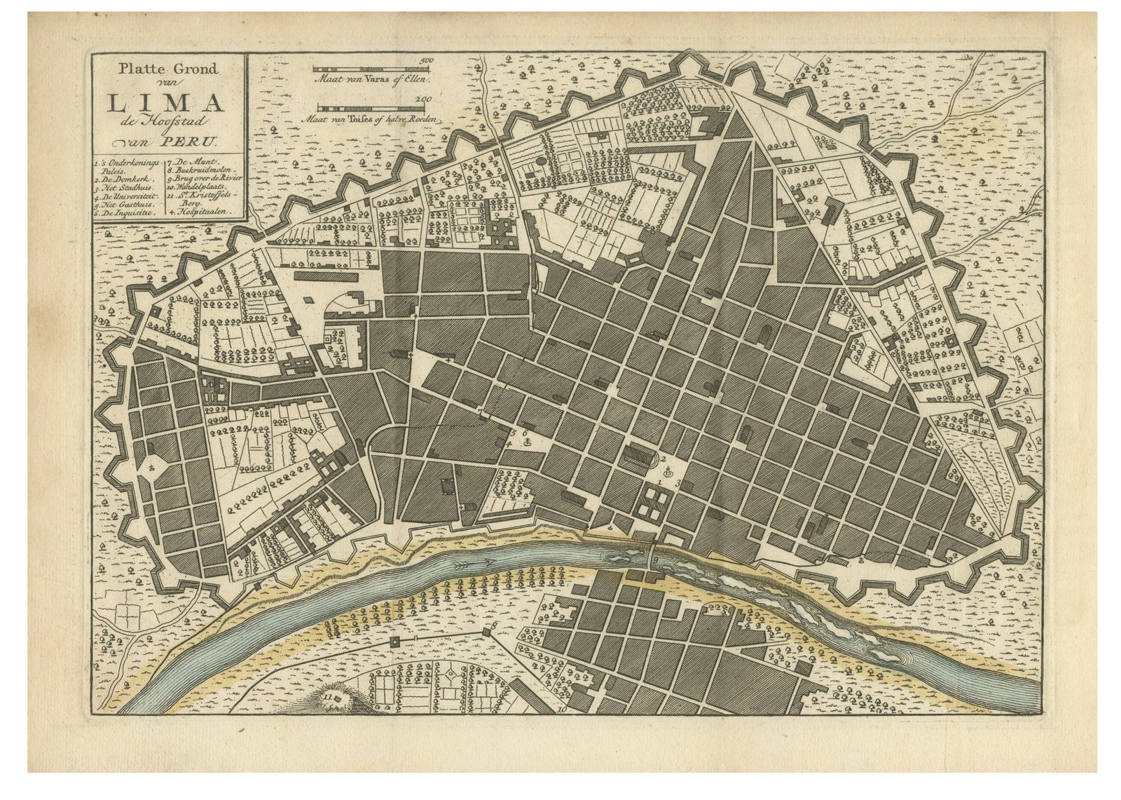
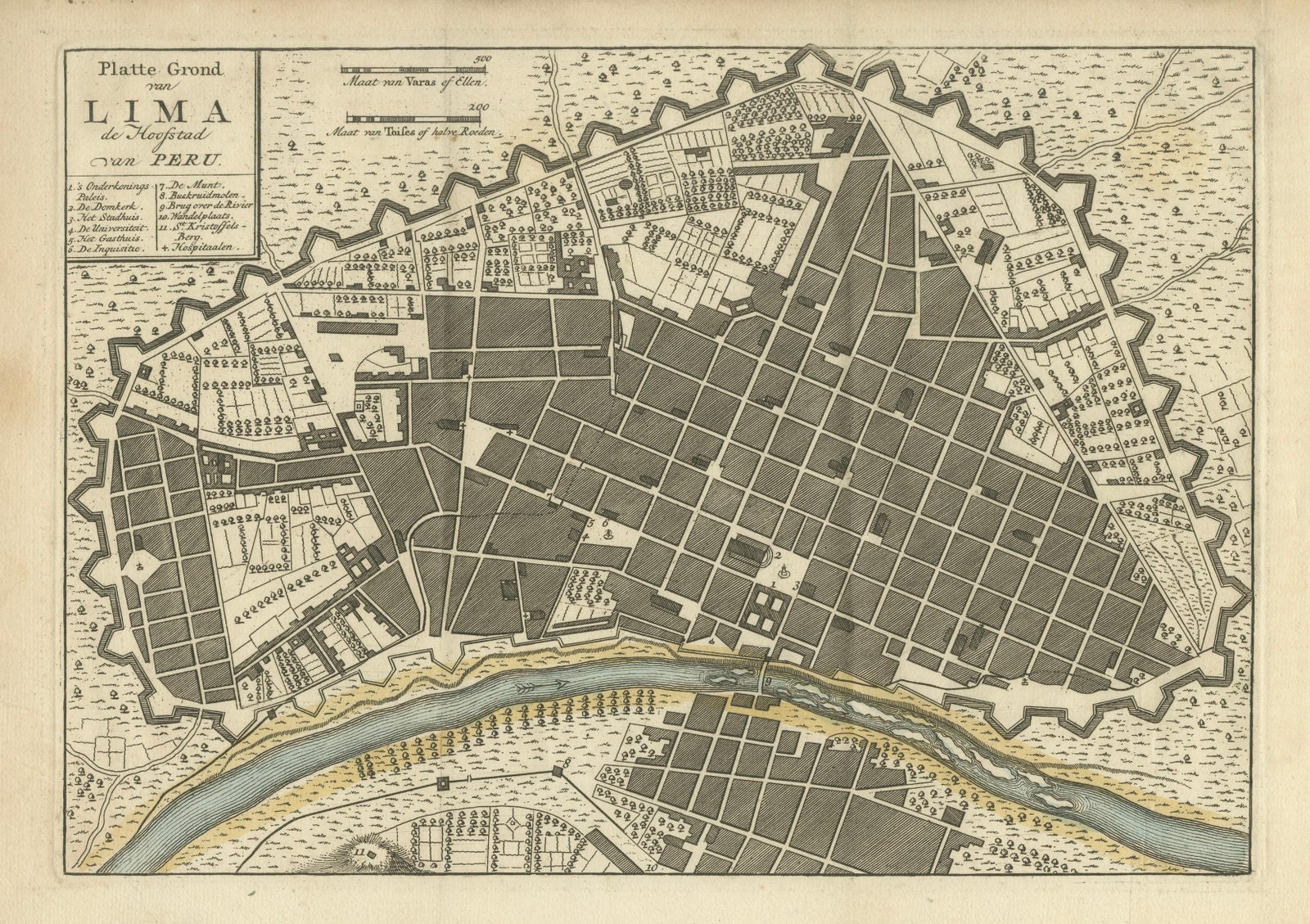
Lima, the capital of colonial Peru, in an original copperplate-engraved city plan by Isaak Tirion, published in Amsterdam in 1769, with hand coloring. The title is lettered in the upper left corner as "Platte Grond van Lima de Hoofdstad van Peru".
The plan shows the city as a compact triangle of regular blocks laid out on a grid and enclosed by a bastioned wall, with the gates, gardens, convent courts and public squares marked within. Along the lower edge the Rímac River crosses the sheet in blue, with a bridge linking Lima to the smaller settlement on the opposite bank. A numbered key beneath the title identifies the principal buildings, and two scale bars sit at the top of the sheet. Light color is added to the river and its banks, while the surrounding country is stippled.
The walls were built between 1684 and 1687 to protect the wealthy viceregal capital from pirates and privateers operating along the Pacific coast. Tirion was a leading Amsterdam publisher of atlases and city plans, and his firm continued to issue maps after his death in 1765.