Close-ups
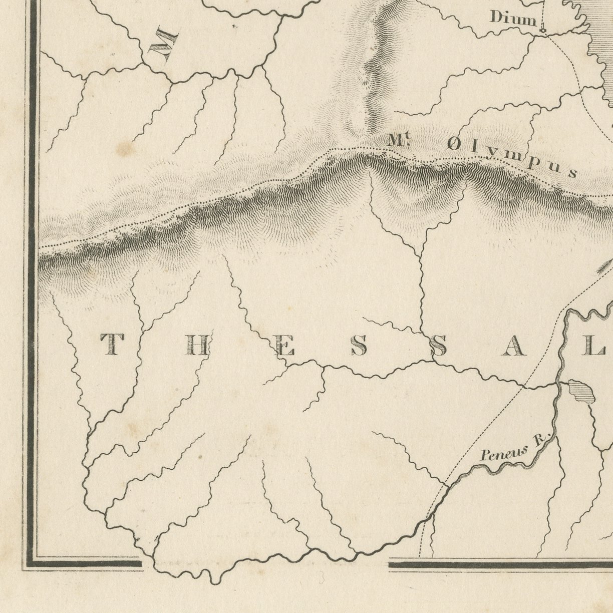
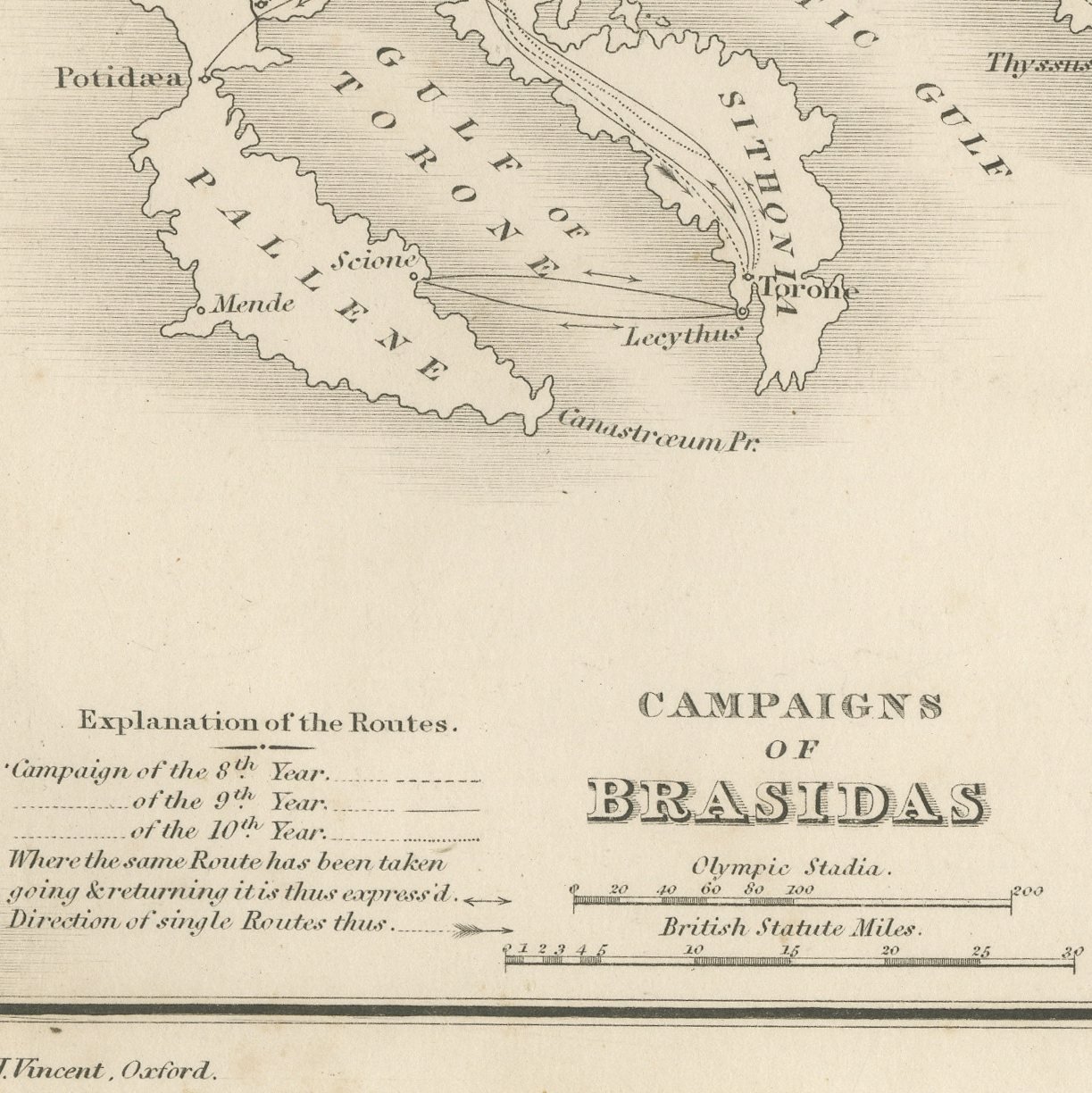
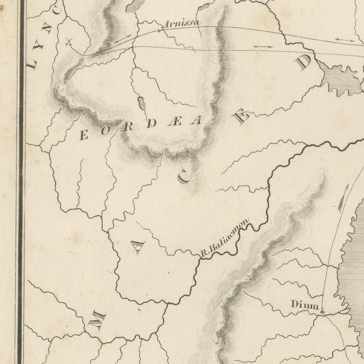
Framed and on the wall
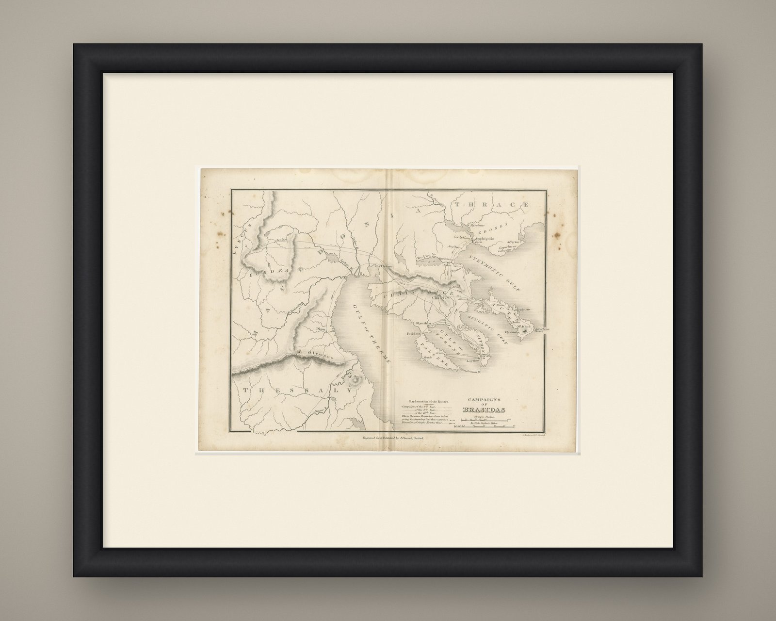


Frame and rooms are illustrations of how the piece could look; it is sold unframed unless the description says otherwise.
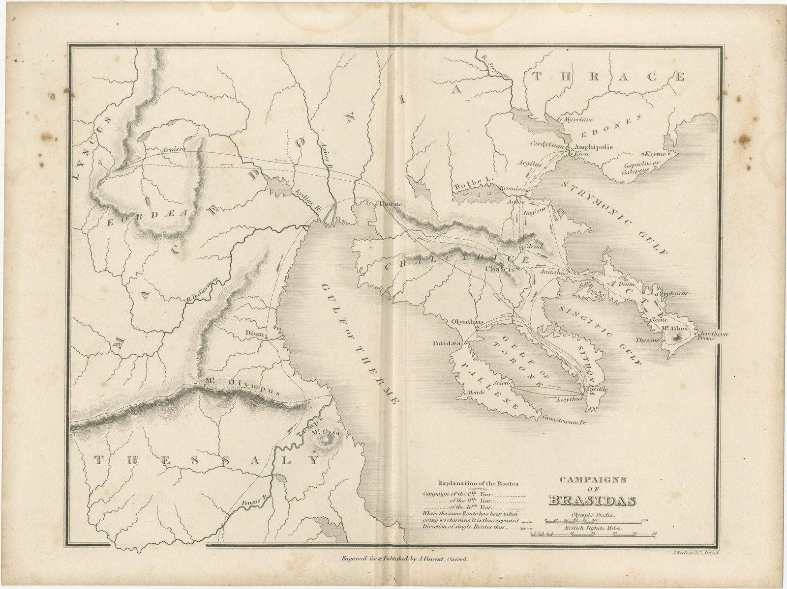
Antique Map of the Campaigns of Brasidas with Route Key, circa 1850
£115£9025% off
$115 · €105
Original print, not a reproduction.
Ships worldwide from the Netherlands, flat or rolled, insured and tracked. 14-day returns.
- Date
- circa 1850
- Sheet size
- 8.3 × 11 in (21 × 28 cm)
- Technique
- Steel engraving
- Coloring
- Uncolored
- Condition
- Fair. Moderate overall age toning, with darker along the bottom edge, a few foxing spots in the margins, one or two spots larger than the rest, a stain in the margin and handling wear to the top left and top right corners.
- Collection
- Campaign maps
- Era
- 1816 to 1899, Empire and industry
- Stock no.
- BG-14457-2-12
What the condition grades mean
- Excellent
- Bright and clean, with no faults worth mentioning.
- Very good
- Only light signs of age, such as faint toning.
- Good
- Normal signs of age for a sheet of this period: toning, some foxing, small marks or neat old repairs.
- Fair
- Clear faults such as staining, tears or repairs, priced to match.
Every fault we see is written in the condition note, and the whole sheet is shown uncropped in the photos.
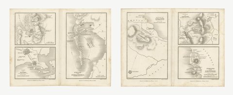
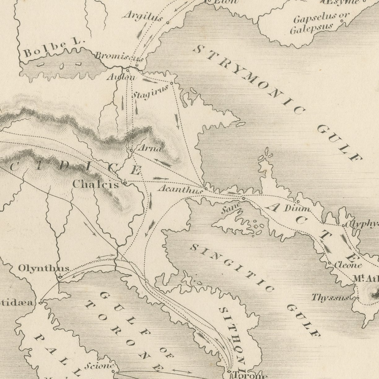
This is an original antique steel-engraved map of the campaigns of Brasidas, published at Oxford about 1850 in the atlas Maps and Plans illustrative of Thucydides. The map traces the marches of the Spartan general north through Thessaly and into Chalcidice, and it carries an engraved key, lettered Explanation of the Routes, which distinguishes the campaigns of the eighth, ninth and tenth years of the war by separate line styles so that the three can be told apart on the ground. It is a campaign map in the modern sense, made to show movement rather than territory.
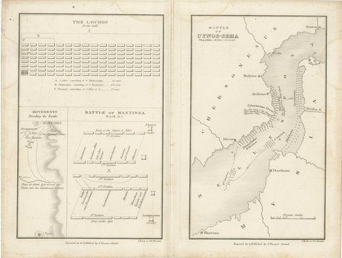
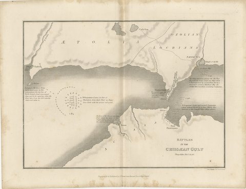
The sheet comes from Maps and Plans illustrative of Thucydides, the atlas published at Oxford by J. Vincent, with Whittaker and Co., Simpkin and Marshall, and Sherwood, Gilbert and Piper named as the London booksellers on the title page of this second edition. The atlas follows the text of Thucydides book by book, with general maps of the Greek world followed by plans of particular campaigns, sieges and battles, many of them lettered with the book and chapter they illustrate. The plates were engraved by J. and J. Neele of 352 Strand, London, with the hills in close hachuring and scales in Olympic stadia and British statute miles.
The Spartan general Brasidas marched through Thessaly to Chalcidice in 424 BC, took Amphipolis and other Athenian allies in the north, and was killed at Amphipolis in 422 BC. The engraved route key separates his campaigns of the eighth, ninth and tenth years of the war.
Moderate overall age toning, with darker along the bottom edge, a few foxing spots in the margins, one or two spots larger than the rest, a stain in the margin and handling wear to the top left and top right corners.
This is an original antique print, not a modern reproduction. This item is sold unframed.