Close-ups
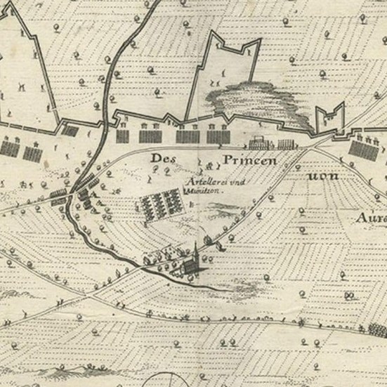
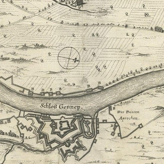
Framed and on the wall
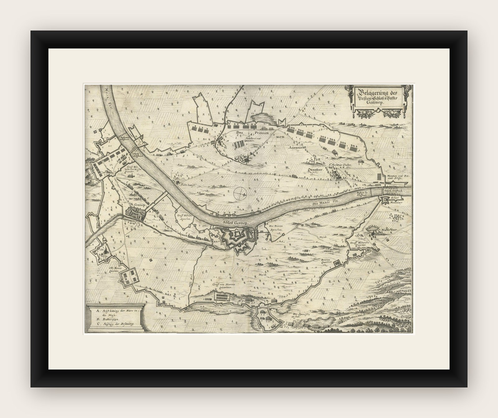

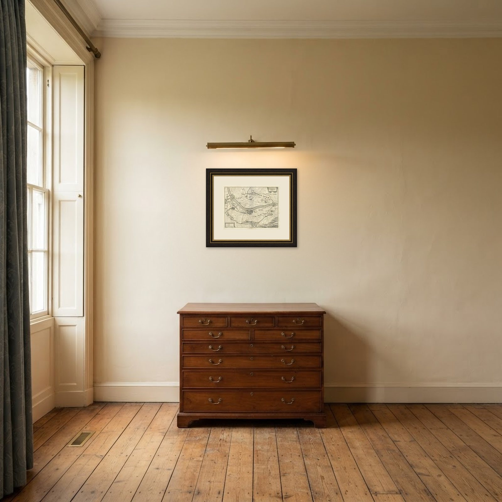
Frame and rooms are illustrations of how the piece could look; it is sold unframed unless the description says otherwise.
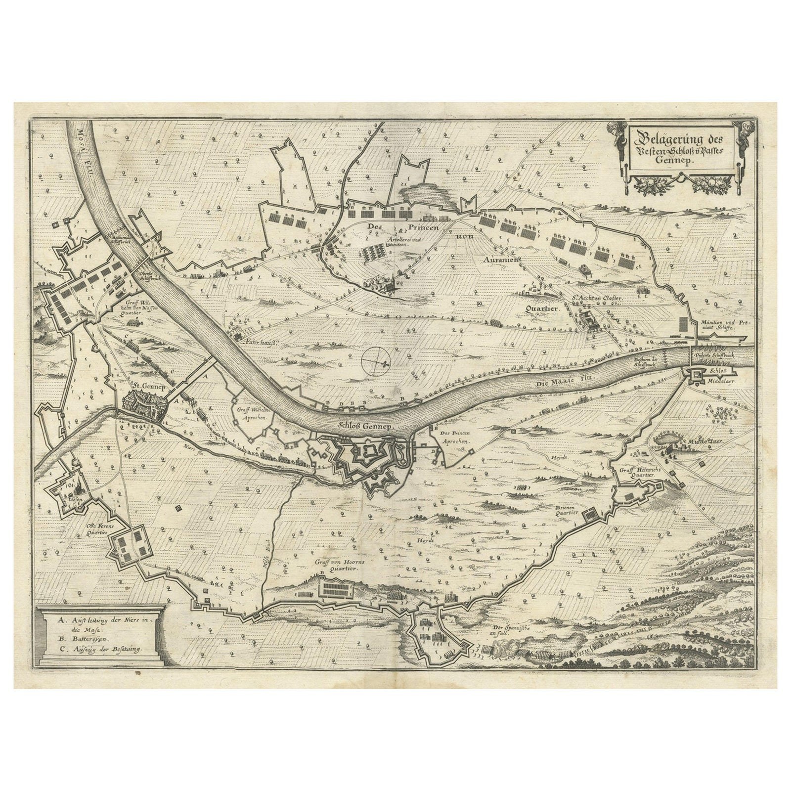
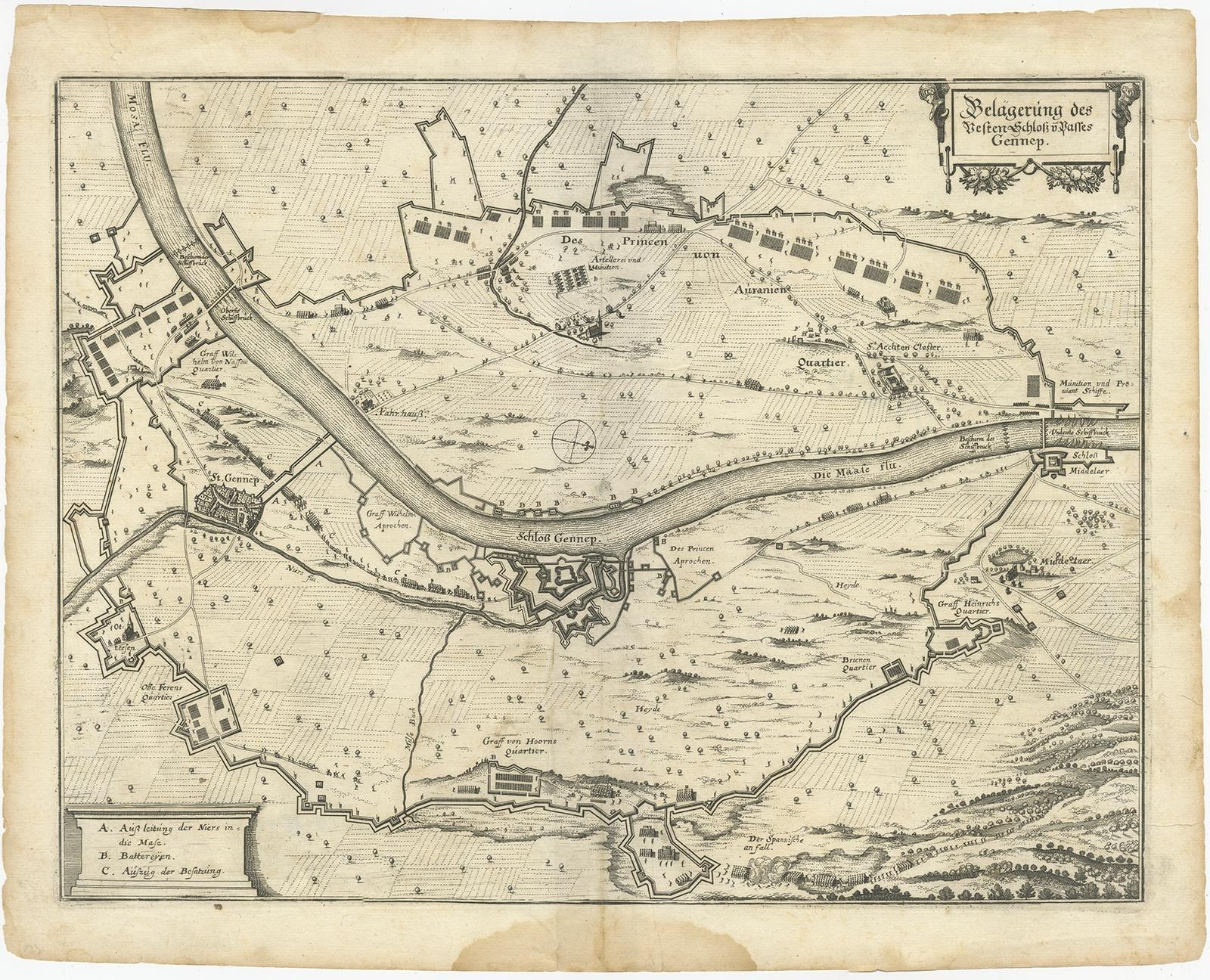
Antique Map of The Siege of Gennep, the Netherlands, c.1650
£200£14030% off
$185 · €168
Original print, not a reproduction.
Ships worldwide from the Netherlands, flat or rolled, insured and tracked. 14-day returns.
- Date
- 1650
- Sheet size
- 12.6 × 15.7 in (32 × 40 cm)
- Condition
- Good
- Collection
- Sieges & fortresses
- Era
- Before 1700, Pike and siege
- Stock no.
- BG-12147
What the condition grades mean
- Excellent
- Bright and clean, with no faults worth mentioning.
- Very good
- Only light signs of age, such as faint toning.
- Good
- Normal signs of age for a sheet of this period: toning, some foxing, small marks or neat old repairs.
- Fair
- Clear faults such as staining, tears or repairs, priced to match.
Every fault we see is written in the condition note, and the whole sheet is shown uncropped in the photos.
Antique map titled 'Belagerung des Besten Schloss und Passes Gennep'. Old map of the Siege of Gennep, the Netherlands. This map originates from 'Theatrum Europaeum' by M. Merian. Artists and Engravers: Matthäus Merian, engraver, etcher, and book dealer, the leading German illustrator of the 17th century.
Map of Gennep at the time of the siege by the Dutch army under Frederik Hendrik in 1641 during the Eighty Years’ War. Left the town of Gennep, in the center the stronghold Genneperhuis, along the river Maas. In the surrounding landscape the fortifications are indicated, accompanied by brief descriptions. (Belägerung des Vests schloss{...} Passes Gennep; Obsidio Geneappae). 6 June, July 27, 1641. With the circles of citizen's circumlection and their army camps. Bottom left on a pedestal The legend A-C in German.
Artist: Matthäus Merian, engraver, etcher, and book dealer, the leading German illustrator of the 17th century.
Image size: 36 x 27 cm.