Framed and on the wall
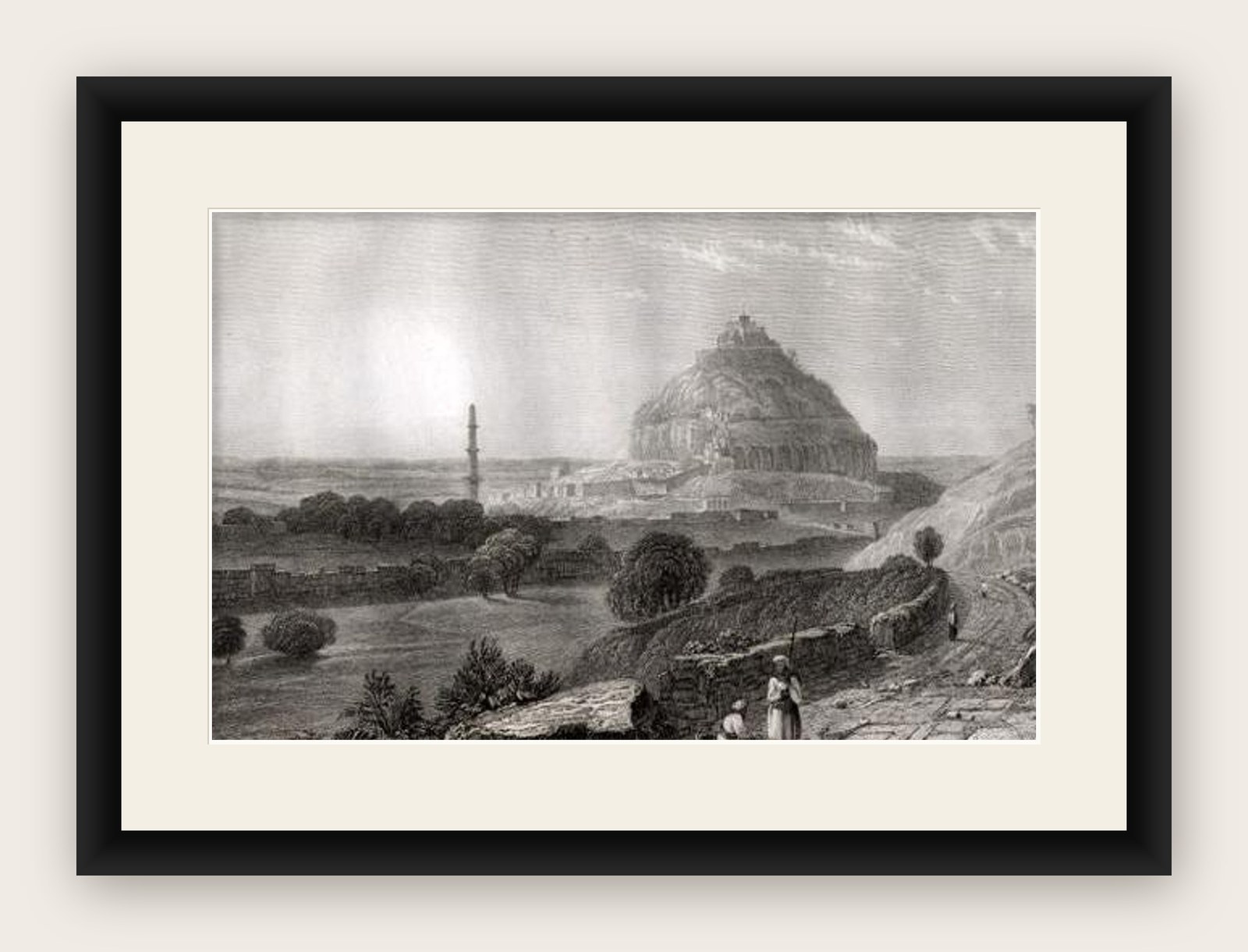
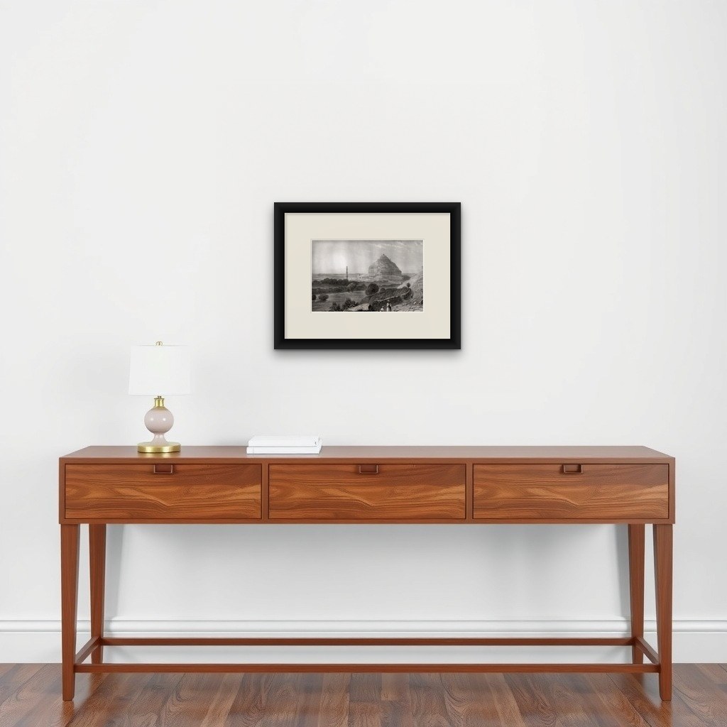

Frame and rooms are illustrations of how the piece could look; it is sold unframed unless the description says otherwise.
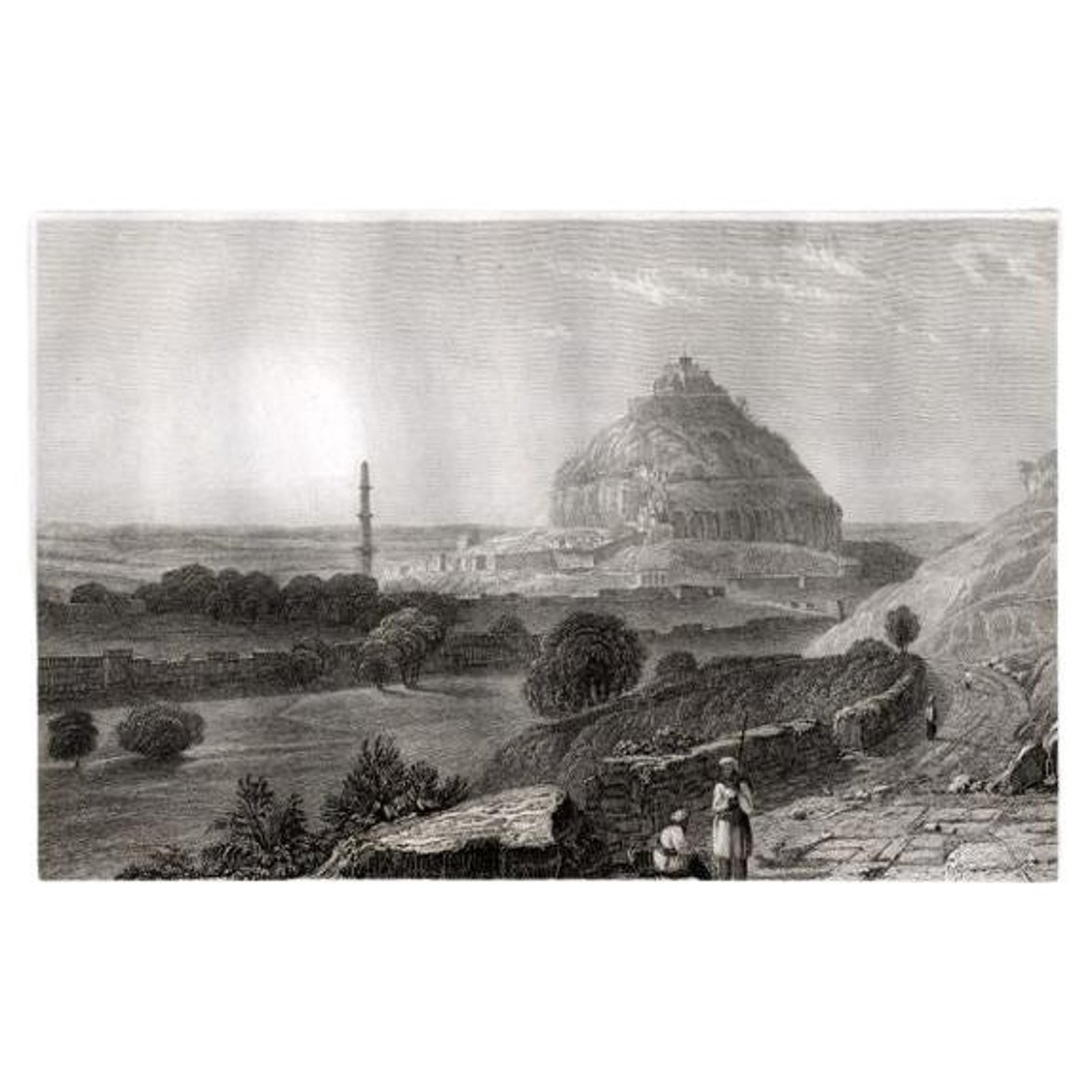
Antique Print of Daulatabad Fort, India, 1836
£70
$90 · €80
Original print, not a reproduction.
Ships worldwide from the Netherlands, flat, insured and tracked. 14-day returns. To buy, use Ask a question and we will reserve it for you.
- Date
- 1836
- Sheet size
- 7.3 × 10.6 in (18.5 × 27 cm)
- Condition
- Fine. General age related toning and occasional light staining. A few small pinholes from binding. Please study image carefully.
- Collection
- Sieges & fortresses
- Era
- 1816 to 1899, Empire and industry
- Stock no.
- f_29366462
Antique print titled 'Dowlutabad (Ostindien)'. View of Daulatabad. Originates from 'Meyers Universum'.
Artists and Engravers: Joseph Meyer (May 9, 1796, June 27, 1856) was a German industrialist and publisher, most noted for his encyclopedia, Meyers Konversations-Lexikon. Meyer operated very successfully as a publisher, employing a system of serial subscription to publications, which was new at that time. To this end he founded a company, Bibliographisches Institut, in Gotha in 1826. It published several editions of the Bible, works of classical literature ("Miniatur-Bibliothek der deutschen Classiker", "Groschen-Bibliothek"), atlases, the world in pictures on steel engravings ("Meyers Universum", 1833–61, 17 volumes in 12 languages with 80,000 subscribers all over Europe), and an encyclopaedia.
Condition: Fine. General age related toning and occasional light staining. A few small pinholes from binding. Please study image carefully.
Date: 1836
Overall size: 27 x 18.5 cm.
Image size: 15 x 11 cm.
We sell original antique maps to collectors, historians, educators and interior decorators all over the world. Our collection includes a wide range of authentic antique maps from the 16th to the 20th centuries. Buying and collecting antique maps is a tradition that goes back hundreds of years. Antique maps have proved a richly rewarding investment over the past decade, thanks to a growing appreciation of their unique historical appeal. Today the decorative qualities of antique maps are widely recognized by interior designers who appreciate their beauty and design flexibility. Depending on the individual map, presentation, and context, a rare or antique map can be modern, traditional, abstract, figurative, serious or whimsical. We offer a wide range of authentic antique maps for any budget.
EXPLORE