Close-ups
Framed and on the wall
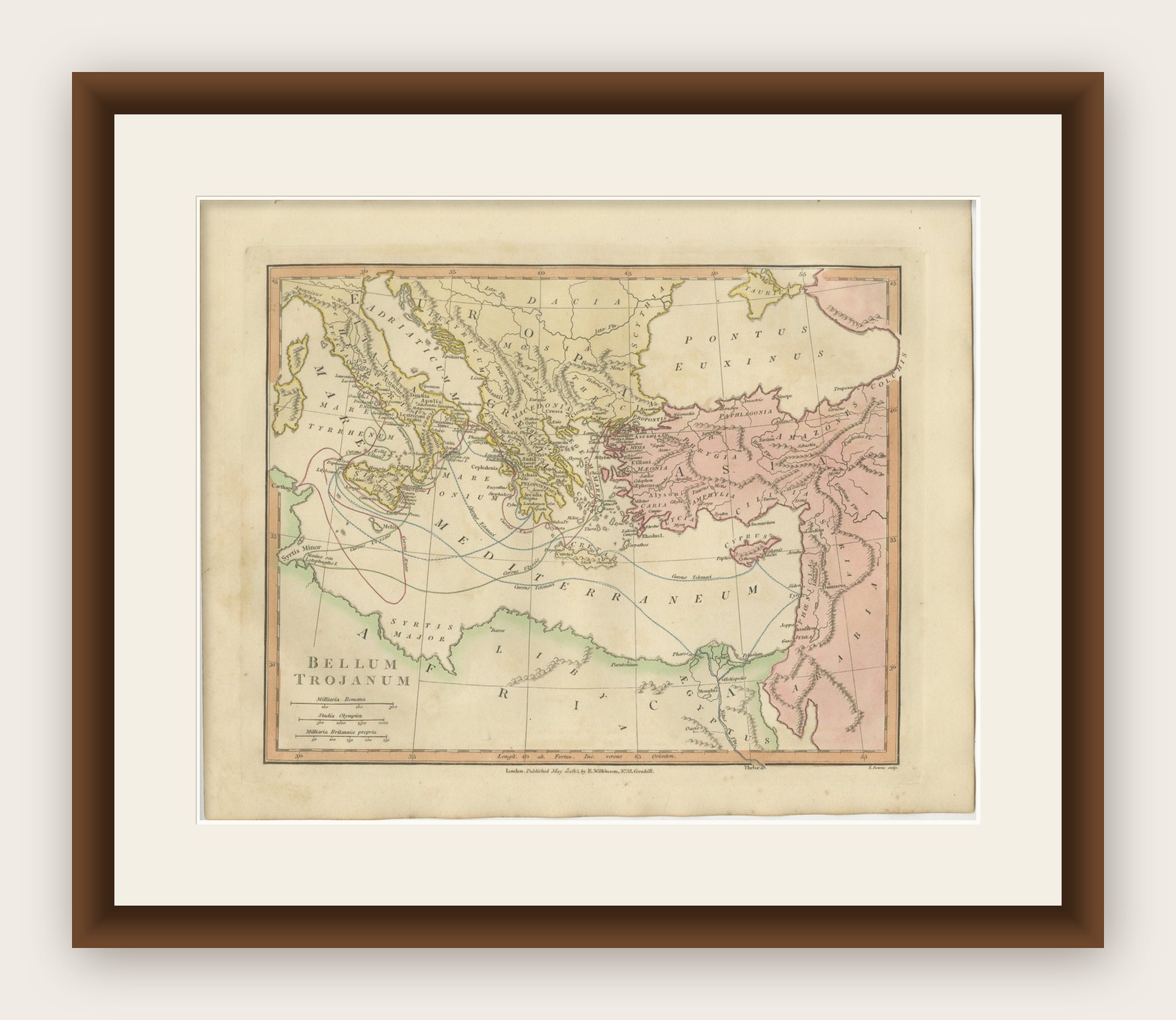


Frame and rooms are illustrations of how the piece could look; it is sold unframed unless the description says otherwise.
Antique Trojan War Map, Bellum Trojanum Mediterranean, Wilkinson 1815
£315
$420 · €374
Original print, not a reproduction.
Ships worldwide from the Netherlands, flat, insured and tracked. 14-day returns. To buy, use Ask a question and we will reserve it for you.
- Date
- 1815
- Sheet size
- 11 × 13.5 in (28 × 34.2 cm)
- Condition
- Good. Good antique condition with attractive original hand coloring. Light age toning and minor handling marks consistent with age. The sheet retains generous margins suitable for framing.
- Collection
- Campaign maps
- Era
- 1790 to 1815, Napoleonic wars
- Stock no.
- f_49123412
Title: Antique Trojan War Map, Bellum Trojanum Mediterranean, Wilkinson 1815
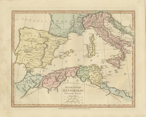
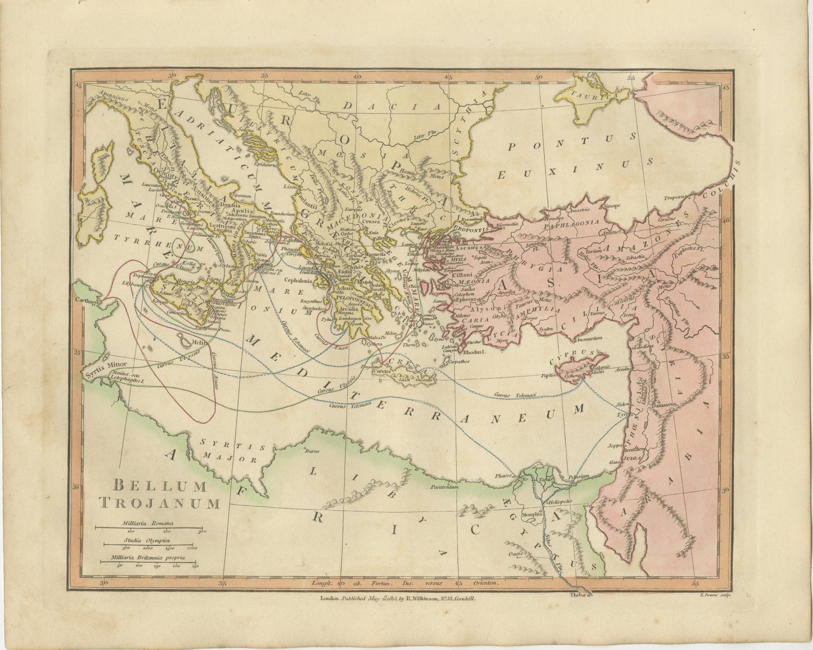
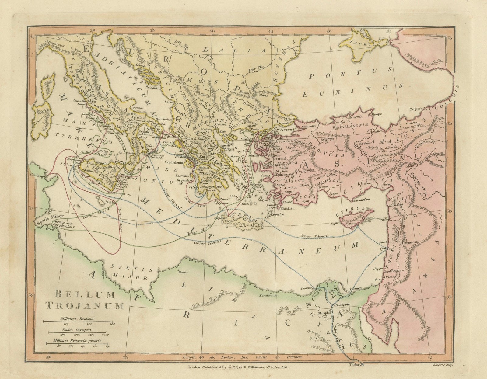
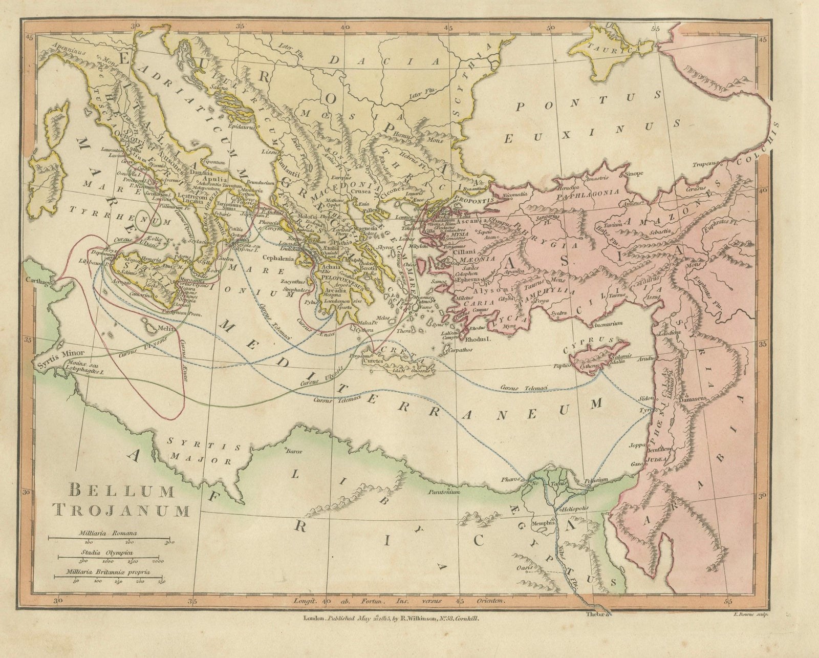
This finely engraved and delicately hand-colored antique map titled Bellum Trojanum (The Trojan War) presents the eastern Mediterranean world as understood through the legendary narratives of Homer’s Iliad and Odyssey. Published in London in 1815 by the respected British cartographer and publisher Robert Wilkinson, the map formed part of his scholarly Atlas Classica, an atlas created to illustrate the lands and geography described by ancient Greek and Roman authors.
Wilkinson’s Atlas Classica was produced during a period of intense European fascination with classical antiquity. Educators, historians, and scholars sought visual tools to accompany the study of Homer, Virgil, Herodotus, and other ancient writers. This map reflects that intellectual movement by reconstructing the geography of the Mediterranean as it related to the events of the Trojan War and the legendary journeys of the heroes who emerged from it.
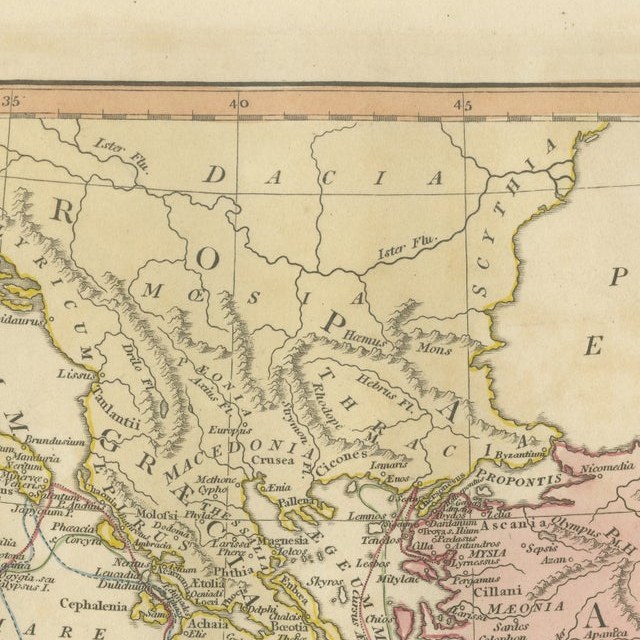
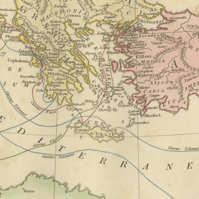
The map spans the eastern Mediterranean basin, extending from southern Italy and Sicily in the west across Greece, the Aegean Sea, and Asia Minor to the Levant and Syria in the east. The Black Sea (Pontus Euxinus) appears in the northeast, while North Africa and the coast of Libya are visible to the south. Classical place names appear throughout the map, including Italia, Sicilia, Graecia, Macedonia, Thracia, Asia Minor, Phrygia, Lydia, and Syria. The famous site of Troy is shown on the northwestern coast of Asia Minor near the Dardanelles.
A particularly fascinating feature of the map is the network of curved routes drawn across the Mediterranean Sea. These lines trace the legendary voyages of figures associated with the Trojan War cycle. Among them are the journeys of Aeneas following the fall of Troy, the travels of Telemachus searching for his father, and the long wanderings of Odysseus (Ulysses) as described in the Odyssey. These routes connect famous locations such as Troy, Crete, Sicily, Carthage, and the shores of Greece and Italy, transforming the map into a visual narrative of classical mythology.
The engraving is precise and elegant, typical of late eighteenth-century British cartography. The map was engraved by E. Bourne, whose fine line work and careful lettering give the sheet a refined and scholarly appearance. Subtle contemporary hand coloring highlights the ancient regions and coastlines, adding visual clarity and decorative charm.
Today the map appeals not only to collectors of antique cartography but also to those interested in classical literature, mythology, and the history of ancient Mediterranean civilizations. It provides a striking visual interpretation of the epic journeys that have shaped Western storytelling for more than two millennia.
This example is an original antique map printed in 1798 and hand-colored at the time of publication. It is not a modern reproduction. Any presentation images showing the map framed are for visual inspiration only. The map is supplied unframed.
Condition:
Good antique condition with attractive original hand coloring. Light age toning and minor handling marks consistent with age. The sheet retains generous margins suitable for framing.
Framing tips:
This map frames beautifully in a dark walnut or ebonized wood frame with a generous ivory or museum-white mat. A double mat with a subtle gold inner fillet complements the warm tones of the antique paper and highlights the elegant engraving. Such a presentation works particularly well in a study, library, or classical interior setting.
Keyword block:
Bellum Trojanum, Trojan War map, Homer Iliad map, Odyssey map, ancient Greece map, ancient Mediterranean map, Troy map, Aeneas voyage, Odysseus voyage, Ulysses route, Telemachus journey, Atlas Classica map, Robert Wilkinson map, London 1798 map, Pontus Euxinus, Black Sea map, Aegean Sea map, Mediterranean Sea map, Sicilia, Italia, Graecia, Macedonia, Thracia, Asia Minor, Phrygia, Lydia, Syria, Crete, Carthage, Libya, ancient mythology map, classical geography map, Homeric geography, antique Mediterranean map, antique Greek world map, hand colored antique map, copperplate engraved map
Technique: Copperplate engraving with original hand color
Maker: Robert Wilkinson, London, 1815 (engraved by E. Bourne)
EXPLORE