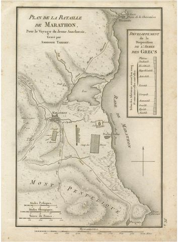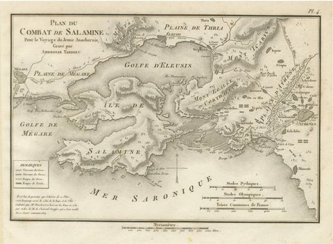
Close-ups
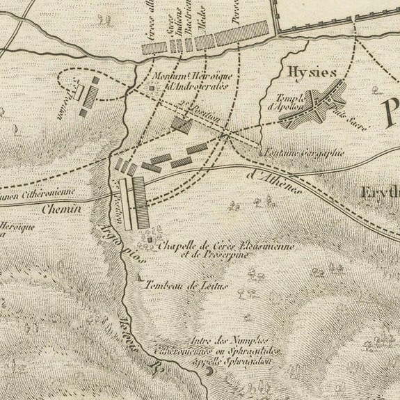
Framed and on the wall


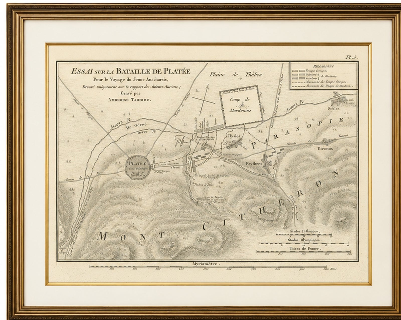
Frame and rooms are illustrations of how the piece could look; it is sold unframed unless the description says otherwise.
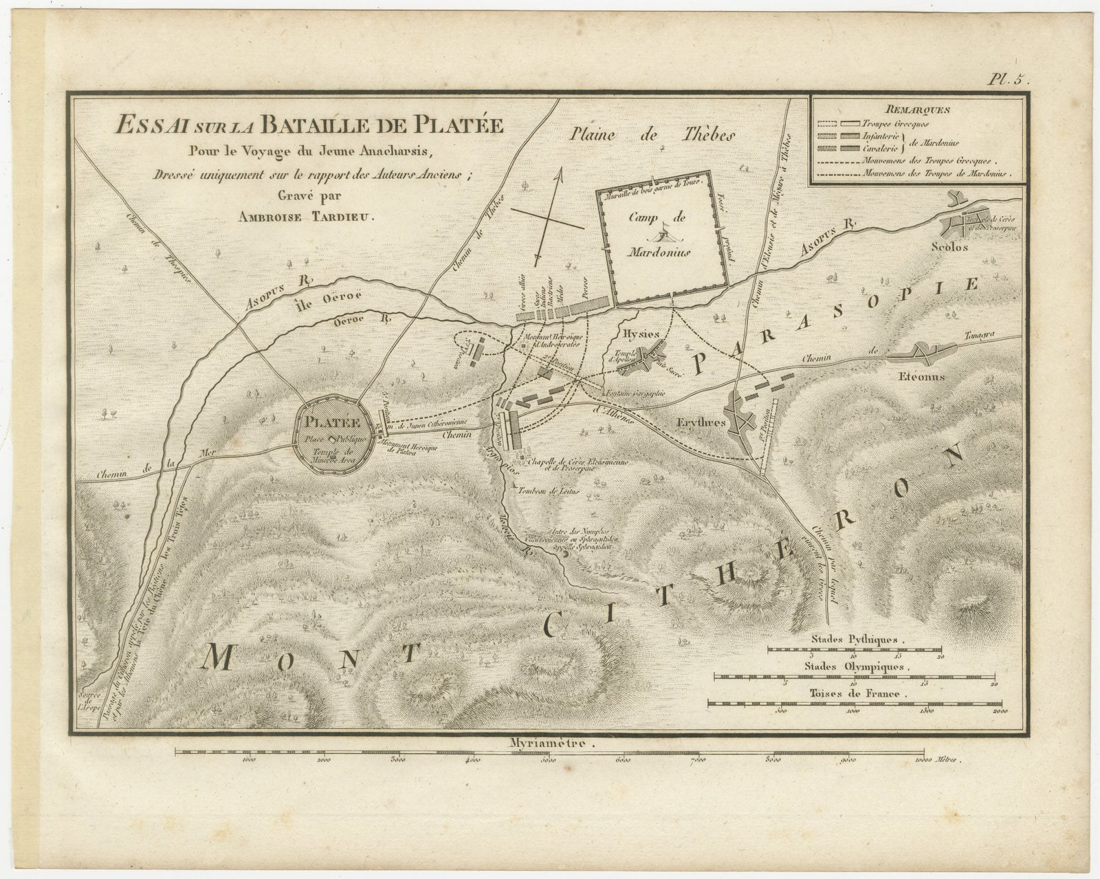
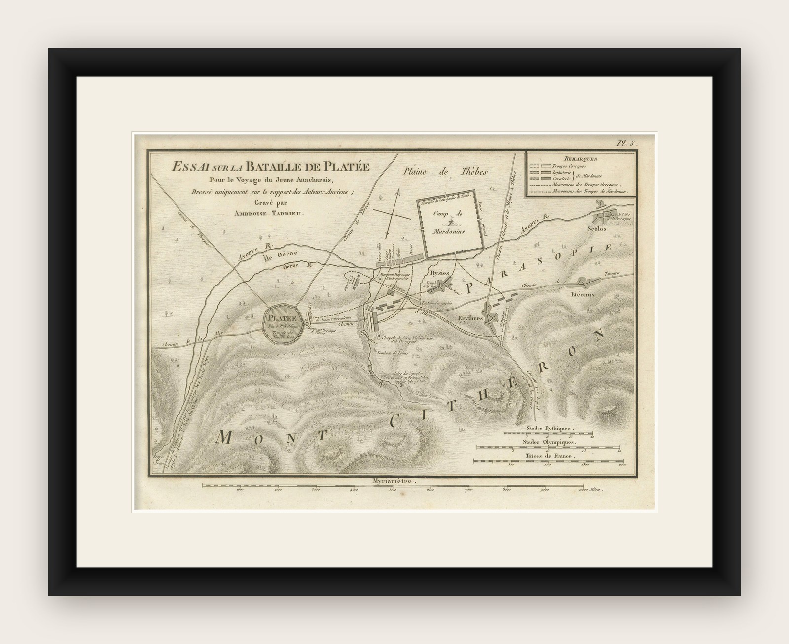
Battle of Plataea Ancient Greece Military Map by Ambroise Tardieu, 1825
£255
$335 · €299
Original print, not a reproduction.
Ships worldwide from the Netherlands, flat, insured and tracked. 14-day returns. To buy, use Ask a question and we will reserve it for you.
- Date
- 1825
- Sheet size
- 7.7 × 9.7 in (19.6 × 24.7 cm)
- Condition
- Good. Wear consistent with age and use. Good condition considering its age. Light age toning and occasional foxing. Minor wear and faint handling marks confined mainly to the margins. Strong impression with clear engraved detail. Please study the photographs carefully.
- Collection
- Campaign maps
- Era
- 1816 to 1899, Empire and industry
- Stock no.
- f_51338602
Title: Battle of Plataea Ancient Greece Military Map by Ambroise Tardieu, 1825
Description:
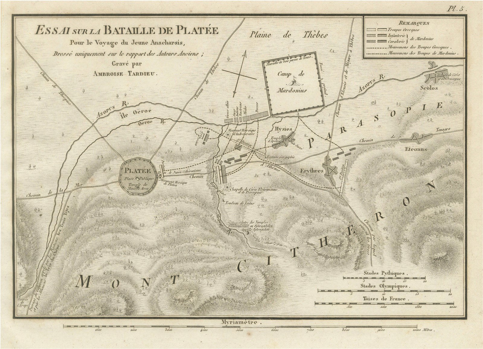
Original antique engraved map depicting the Battle of Plataea, one of the decisive battles of the Greco-Persian Wars, engraved by the French cartographer and engraver Ambroise Tardieu.
Titled “Essai sur la Bataille de Platée,” the map reconstructs the battlefield at Plataea in Boeotia, Greece, where the allied Greek forces defeated the Persian army under Mardonius in 479 BC.
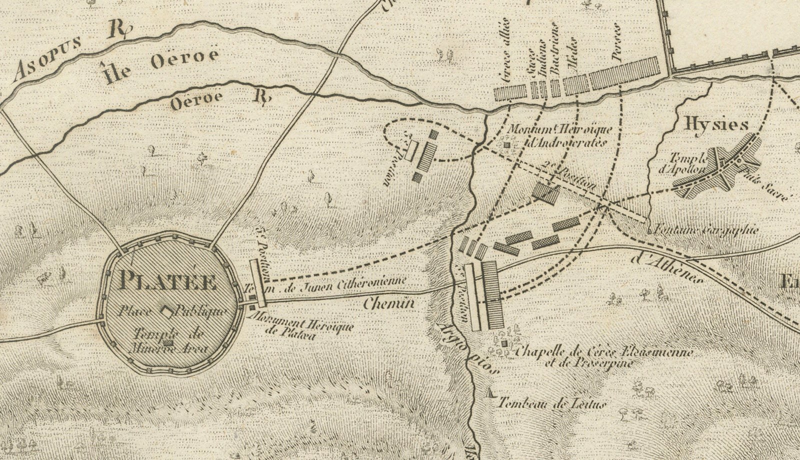
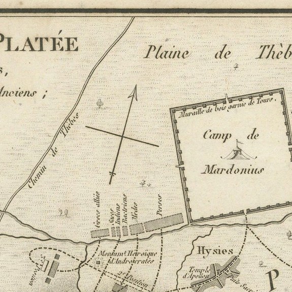
The detailed plan identifies Plataea, the Asopus River, Mount Cithaeron, the plain of Thebes, the camp of Mardonius and surrounding settlements. Lines and symbols indicate the positions and movements of the Greek and Persian infantry and cavalry. A key in the upper right explains the military formations and troop movements, while several scales appear along the lower edge.
The map was prepared for the atlas accompanying Jean-Jacques Barthélemy’s celebrated Voyage du jeune Anacharsis en Grèce, an influential work that introduced generations of European readers to the geography, history and culture of ancient Greece.
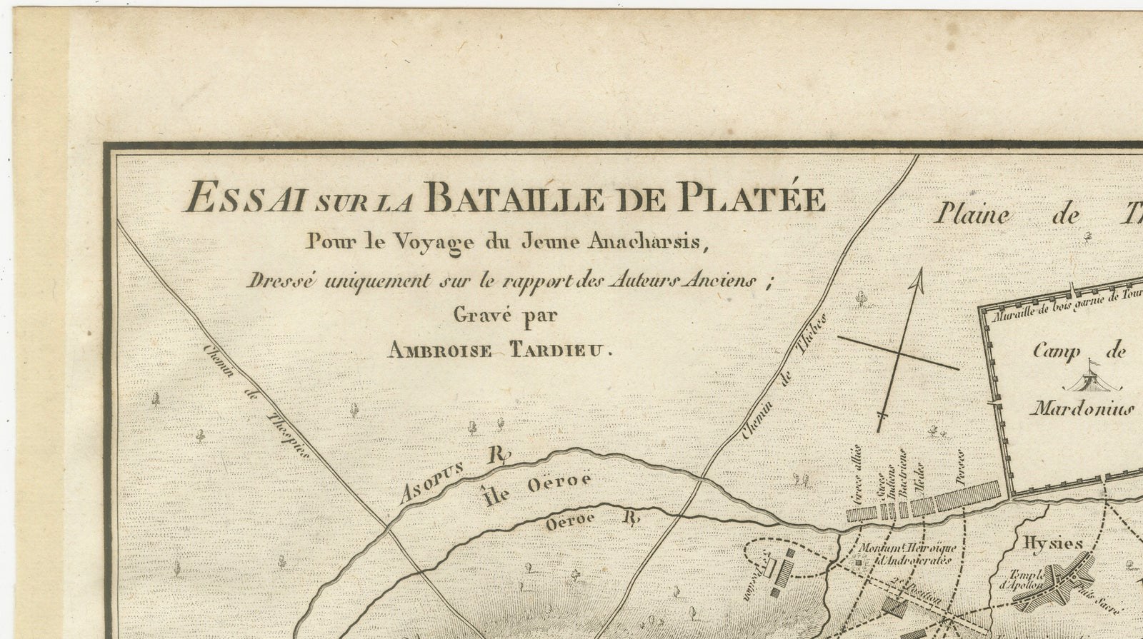
The inscription credits Ambroise Tardieu as engraver: “Gravé par Ambroise Tardieu.”
A particularly attractive historical map combining classical history, ancient geography and early 19th-century military cartography.
Creator: Ambroise Tardieu (1788–1841)
Title: Essai sur la Bataille de Platée
Publication: Paris
Date: 1825
Technique: Engraving on paper
Subject: Battle of Plataea, Greece, 479 BC
Plate number: Pl. 5
Condition:
Good antique condition with age-related toning, scattered light foxing and minor marks, particularly in the margins. Some discoloration along the left margin. The engraved image remains clear and detailed. Please study the photographs carefully as they form an important part of the condition description.
Original antique engraving. Not a modern reproduction.
Sold unframed. Any framed or interior images shown are for presentation and inspiration only.
Keywords: Ancient Greece, Battle of Plataea, Plataea Map, Greek Persian Wars, Greco-Persian Wars, Persian Wars, Mardonius, Boeotia, Thebes, Mount Cithaeron, Asopus River, Military Map, Battle Plan, Historical Cartography, Ambroise Tardieu, Greek History, Classical Greece, Antique Greek Map, 1825 Engraving, 19th Century Map.
EXPLORE