Close-ups
Framed and on the wall


Frame and rooms are illustrations of how the piece could look; it is sold unframed unless the description says otherwise.
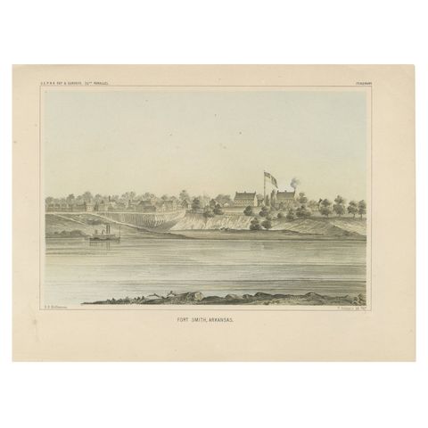
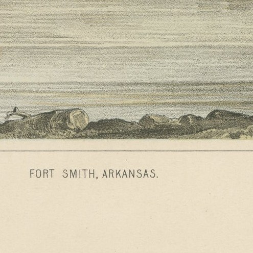
Fort Smith, Arkansas, Rare 19th Century Lithograph of Frontier History, 1856
$250
€220 · £185
Original print, not a reproduction.
Ships worldwide from the Netherlands, flat, insured and tracked. 14-day returns. To buy, use Ask a question and we will reserve it for you.
- Date
- 1856
- Sheet size
- 8.1 × 11.1 in (20.7 × 28.3 cm)
- Condition
- Very good, with minimal foxing at the margins. The image is crisp, and the colors remain vivid and well-preserved.
- Collection
- Sieges & fortresses
- Era
- 1816 to 1899, Empire and industry
- Stock no.
- f_43477962
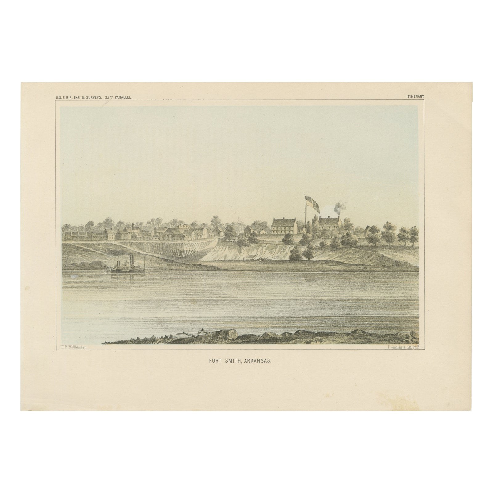
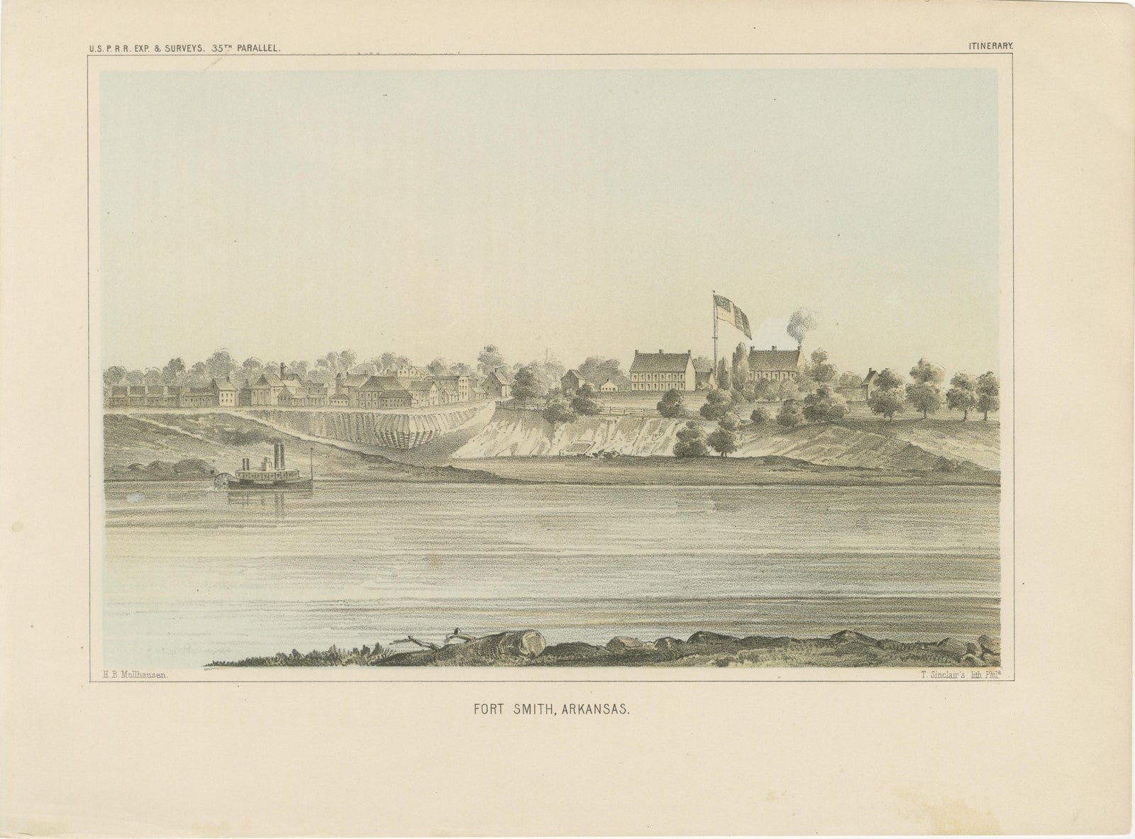
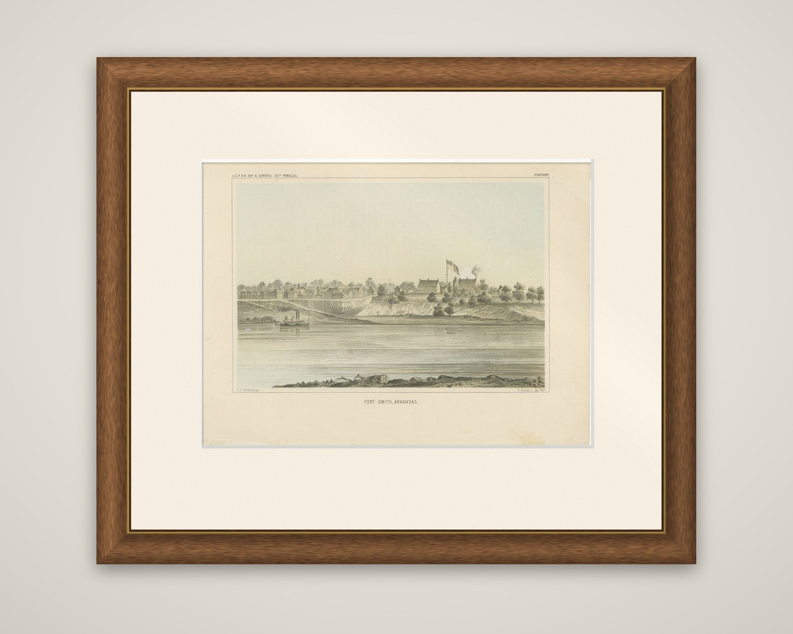
Fort Smith on the Arkansas River, an original tinted lithograph from the Pacific Railroad Surveys, issued in 1856. The caption reads "Fort Smith, Arkansas", with "T. Sinclair's lith. Phil." at lower right. The header reads "U.S.P.R.R. Exp. & Surveys, 35th Parallel" and the sheet is marked Itinerary.
The town is drawn from across the river, with its low row of buildings along the top of a pale bluff, a larger group of houses at the center, and a United States flag flying above them. A thin plume of smoke rises behind the trees, and a steamboat is moored at the left bank. The wide, still river fills the foreground, with a strip of rocks along the near shore. The tints are a pale gray-green with buff for the bluff.
Fort Smith was the starting point for the 35th parallel survey, which set out westward from Arkansas toward the Pacific under Lieutenant Amiel Whipple. The plate comes from Reports of Explorations and Surveys, to Ascertain the Most Practicable and Economical Route for a Railroad from the Mississippi River to the Pacific Ocean.