Close-ups
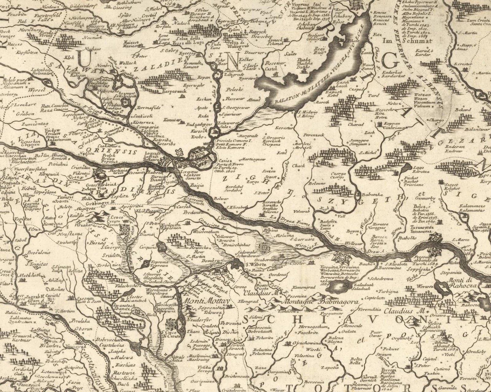
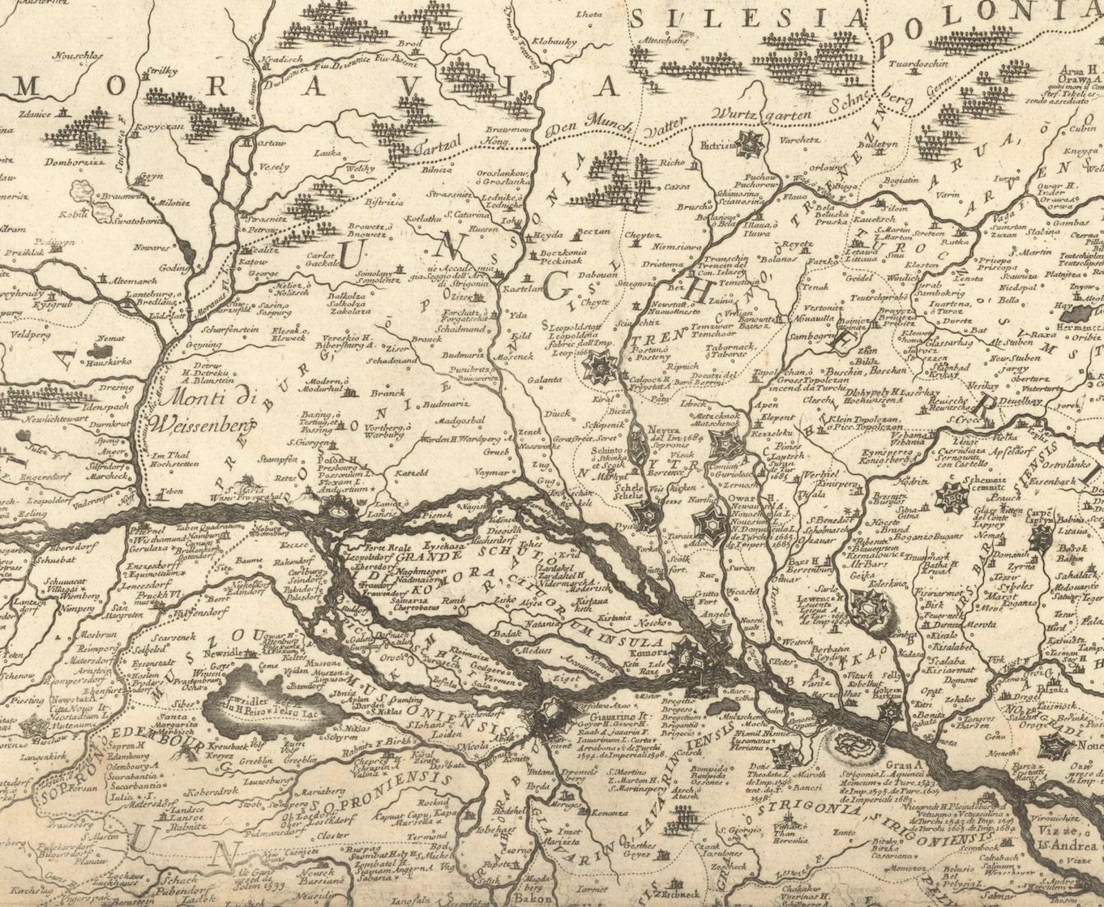
Framed and on the wall
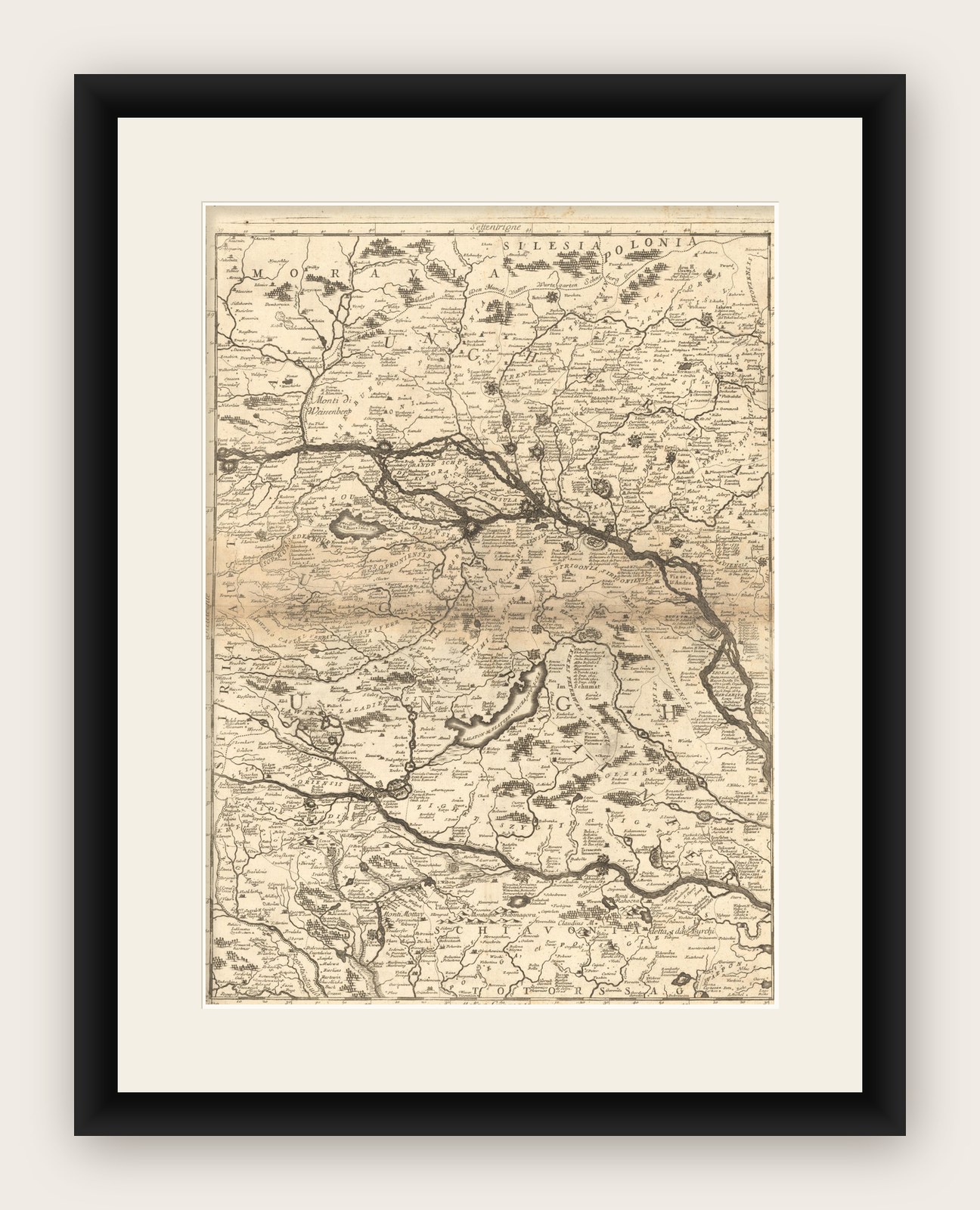


Frame and rooms are illustrations of how the piece could look; it is sold unframed unless the description says otherwise.
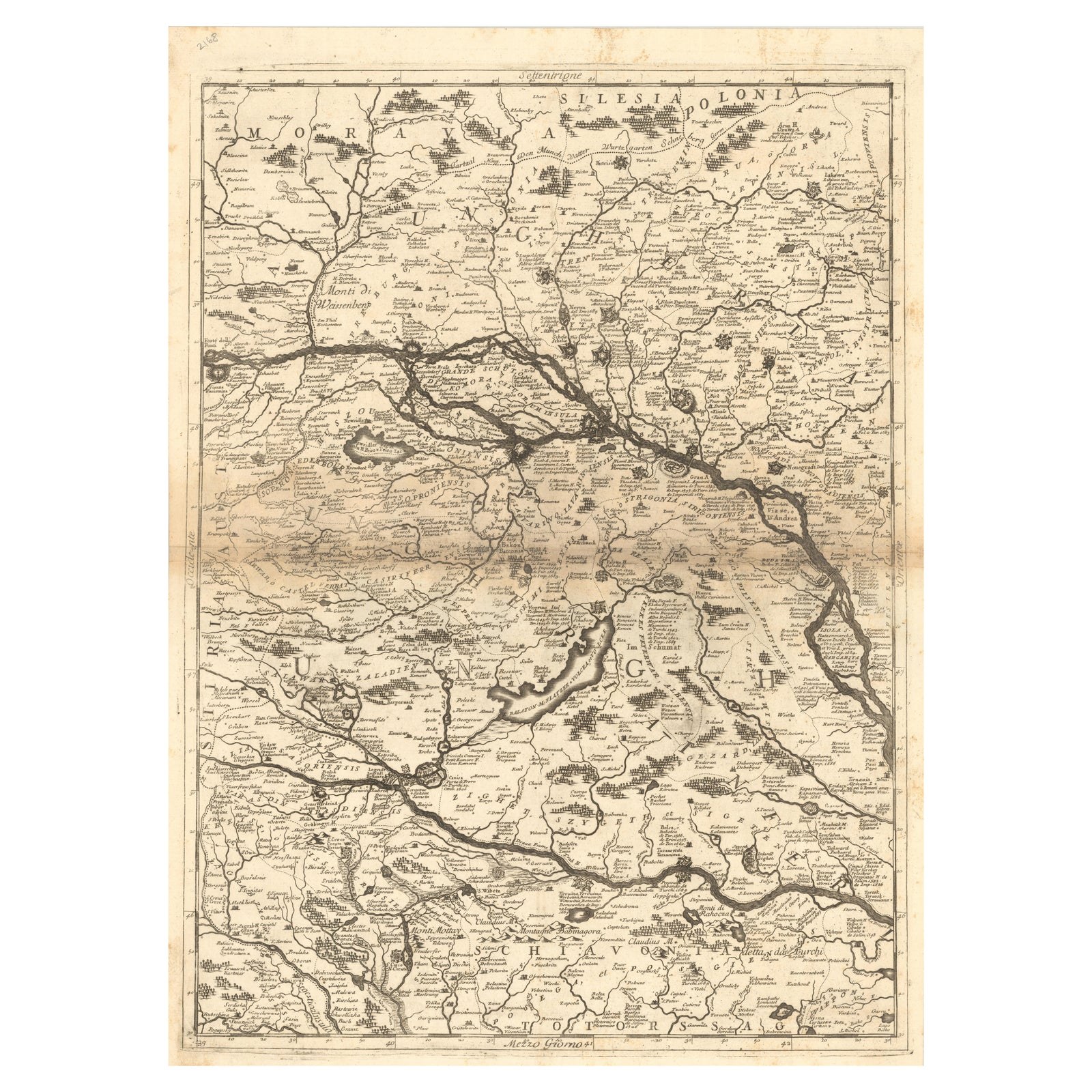
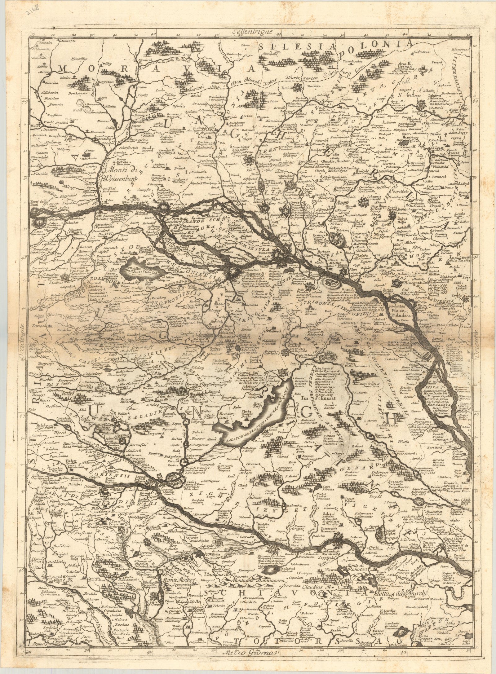
Old Map Showing Info Related to the Ottoman Wars including Conflict Dates, c1690
£525
$700 · €620
Original print, not a reproduction.
Ships worldwide from the Netherlands, flat, insured and tracked. 14-day returns. To buy, use Ask a question and we will reserve it for you.
- Date
- 1690
- Sheet size
- 24 × 17.8 in (61 × 45.2 cm)
- Condition
- Good. A crisp impression with toning and offsetting along the centerfold. There is some minor foxing mostly along the sheet edges.
- Collection
- Campaign maps
- Era
- Before 1700, Pike and siege
- Stock no.
- f_35502852
"Corso del Danubio da Vienna Sui a Vicopoli, e Paesi Adiacenti, Northwestern Sheet", Coronelli, Vincenzo Maria
Subject: Central Europe, Danube River
Period: 1690 (circa)
Publication:
Color: Black & White
This is the northwestern sheet of Coronelli's six-sheet map following the course of the Danube River. It extends from Vienna east to beyond Budapest and from Silesia south to Slavonia. The map features information related to the Ottoman Wars including conflict dates and numerous places are named, often with several alternate names and spellings, reflecting the various cultures in the region.
EXPLORE