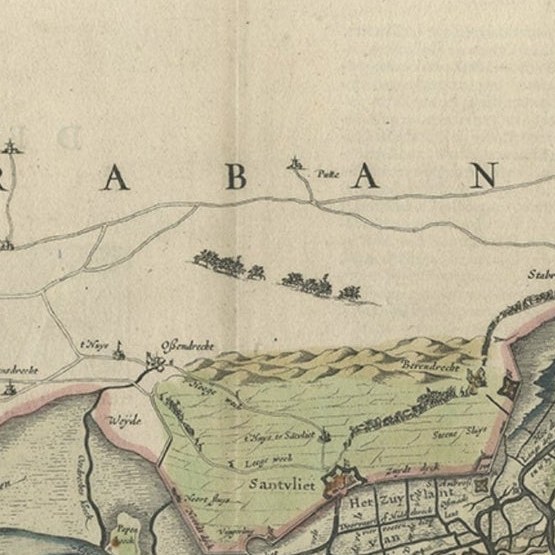
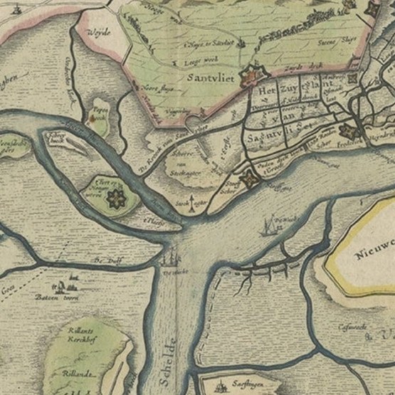
Close-ups
Framed and on the wall
Frame and rooms are illustrations of how the piece could look; it is sold unframed unless the description says otherwise.
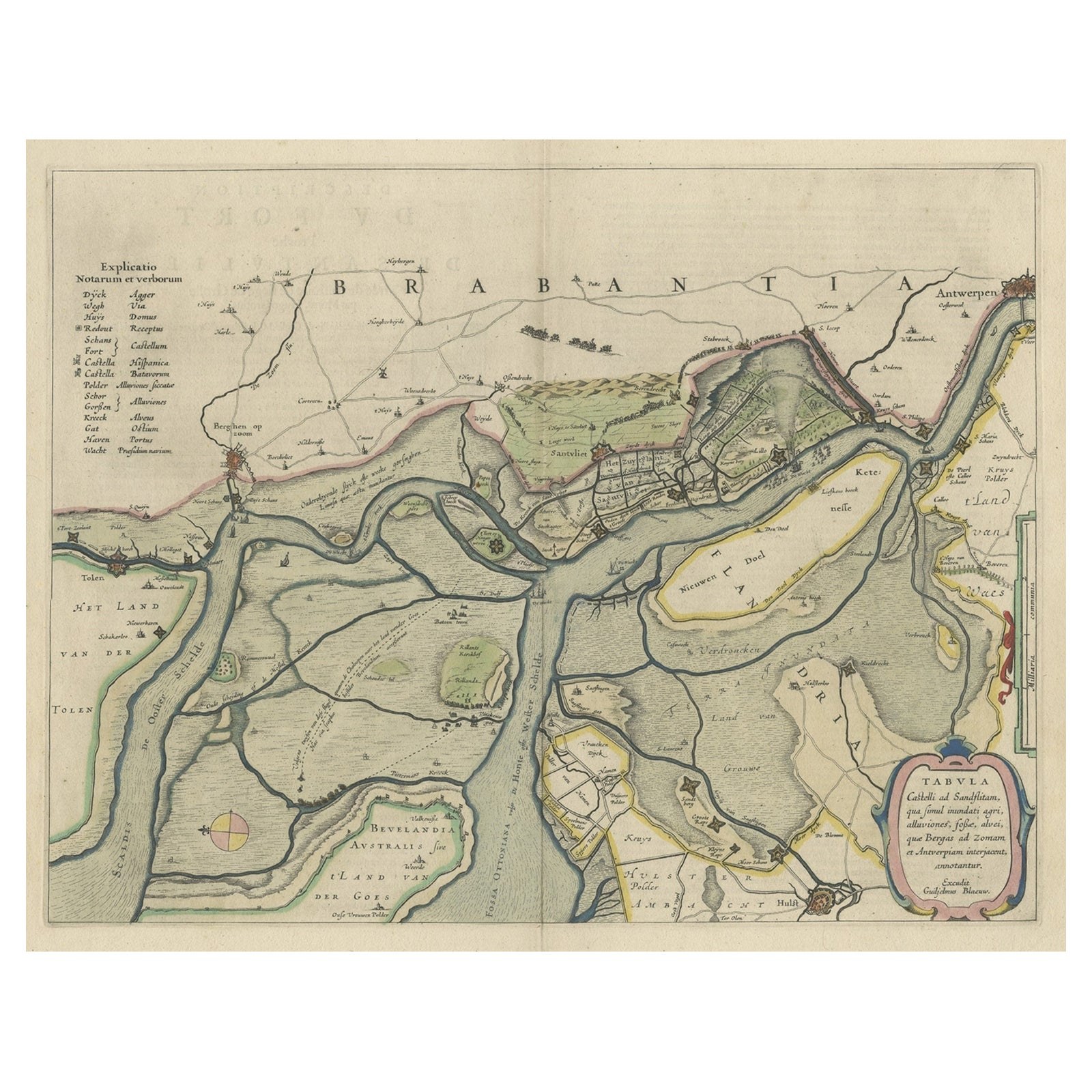
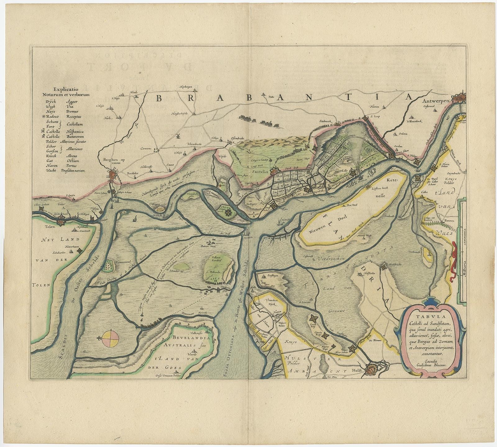
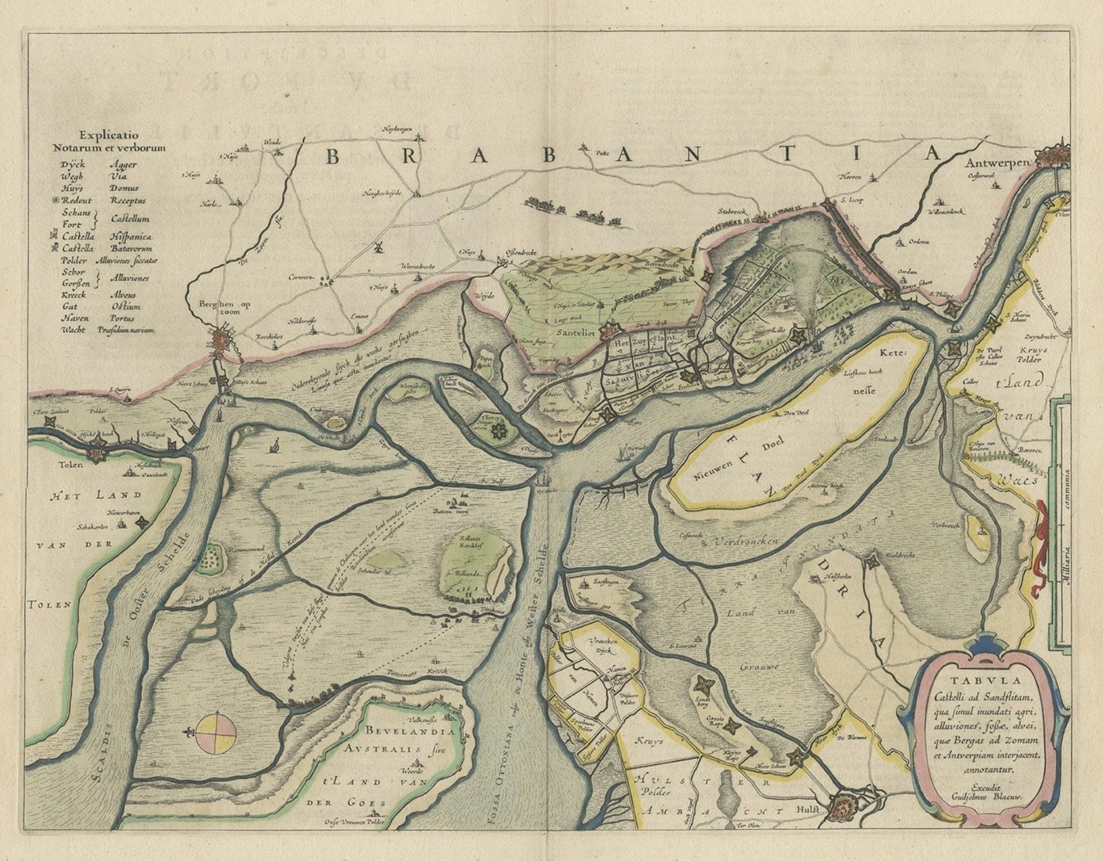
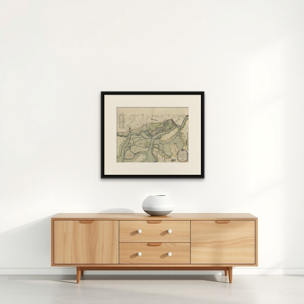
Original Map of the Military Situation After the Dutch Blockade of Antwerp, 1648
€670
$755 · £570
Original print, not a reproduction.
Ships worldwide from the Netherlands, flat, insured and tracked. 14-day returns. To buy, use Ask a question and we will reserve it for you.
- Date
- 1648
- Sheet size
- 19.7 × 22 in (50 × 56 cm)
- Condition
- Very good, origincal/contemporary hand coloring. French text on verso, please study image carefully.
- Collection
- Sieges & fortresses
- Era
- Before 1700, Pike and siege
- Stock no.
- f_27093182
Antique map titled 'Tabula Castelli ad Sandflitam (..)'.
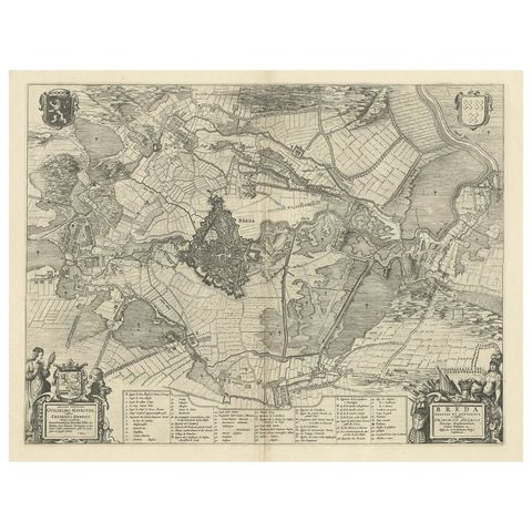
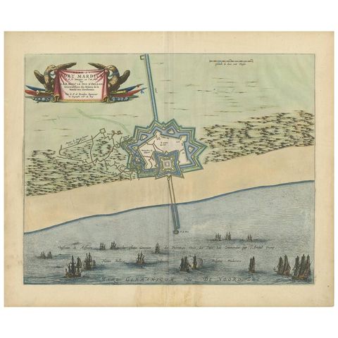
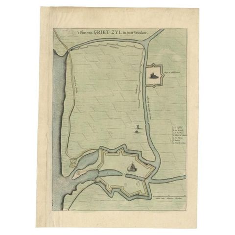
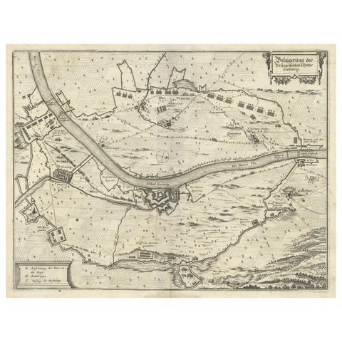
This map depicts the complex military situation that had developed after the Dutch blockade of Antwerp. All entrenchment's and fortresses marked by a cross flag are held by the Spaniards, (Zandvliet, Ossendrecht, Bergen op Zoom etc.), the other ones by the Dutch.
Artists and Engravers: Joan Blaeu (23 September 1596, 28 May 1673) was a Dutch cartographer. He was born in Alkmaar, the son of cartographer Willem Blaeu. In 1620 he became a doctor of law but he joined the work of his father. In 1635 they published the Atlas Novus (full title: Theatrum orbis terrarum, sive, Atlas novus) in two volumes. Joan and his brother Cornelius took over the studio after their father died in 1638. Joan became the official cartographer of the Dutch East India Company. Around 1649 Joan Blaeu published a collection of Dutch city maps named Tooneel der Steeden (Views of Cities). In 1651 he was voted into the Amsterdam council. In 1654 Joan published the first atlas of Scotland, devised by Timothy Pont. In 1662 he reissued the atlas with 11 volumes, and one for oceans. It was also known as Atlas Maior. A cosmology was planned as their next project, but a fire destroyed the studio completely in 1672. Joan Blaeu died in Amsterdam the following year.
EXPLORE