Close-ups
Framed and on the wall

Frame and rooms are illustrations of how the piece could look; it is sold unframed unless the description says otherwise.
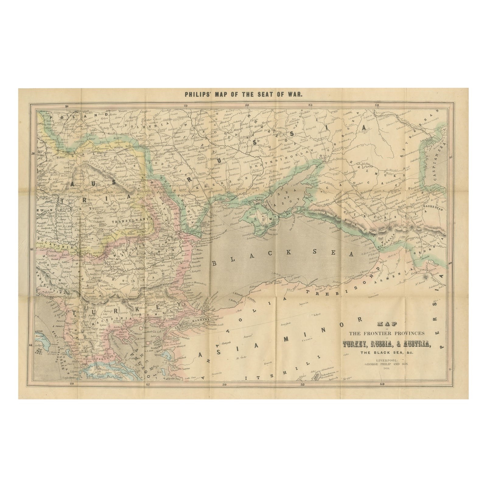
Philips Map of the Seat of War 1854, Black Sea, Turkey & Russia Antique Map
£525
$700 · €620
Original print, not a reproduction.
Ships worldwide from the Netherlands, flat, insured and tracked. 14-day returns. To buy, use Ask a question and we will reserve it for you.
- Date
- 1854
- Sheet size
- 18.3 × 25.8 in (46.5 × 65.5 cm)
- Condition
- Good. Original hand color with light age toning. Some spotting and fold wear consistent with age. No Linen backing.
- Collection
- Campaign maps
- Era
- 1816 to 1899, Empire and industry
- Stock no.
- f_46393162
Philips Map of the Seat of War 1854, Black Sea, Turkey & Russia Antique Map
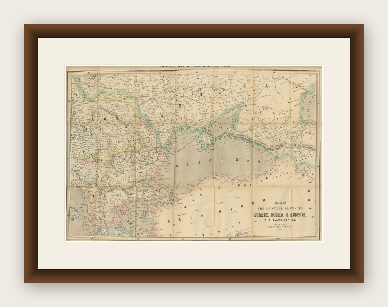
This folding map, titled “Philips’ Map of the Seat of War”, was published in Liverpool by George Philip & Son in 1854, at the outbreak of the Crimean War (1853–1856). It was produced for the British public eager to follow developments in a conflict that involved Britain, France, the Ottoman Empire, and Sardinia against Russia.
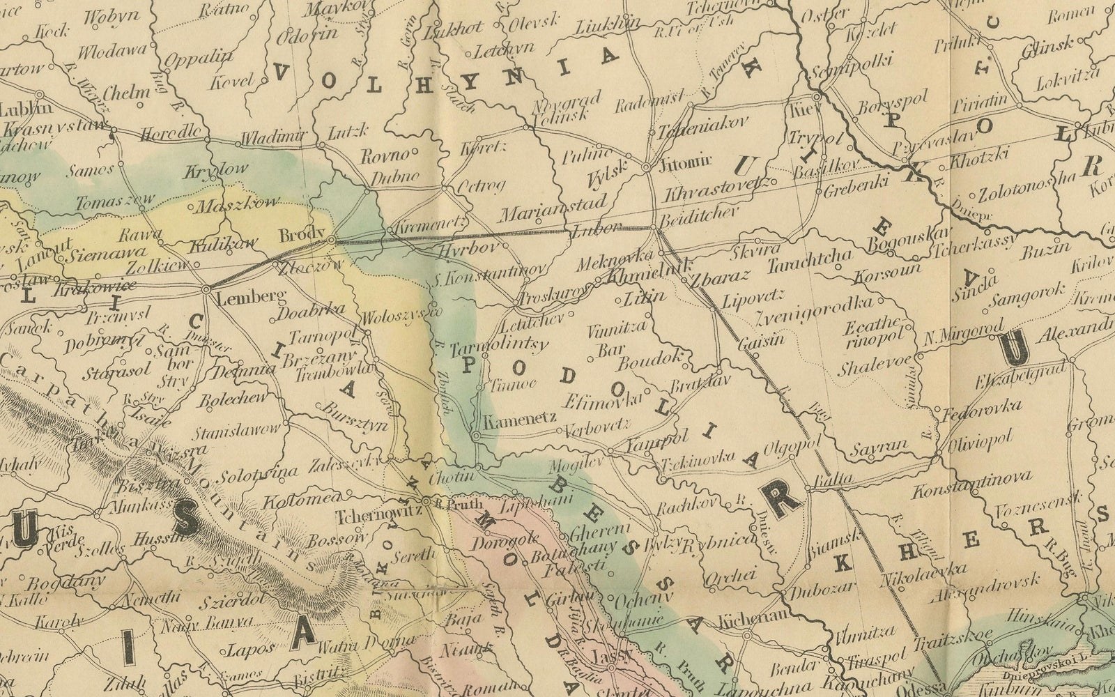
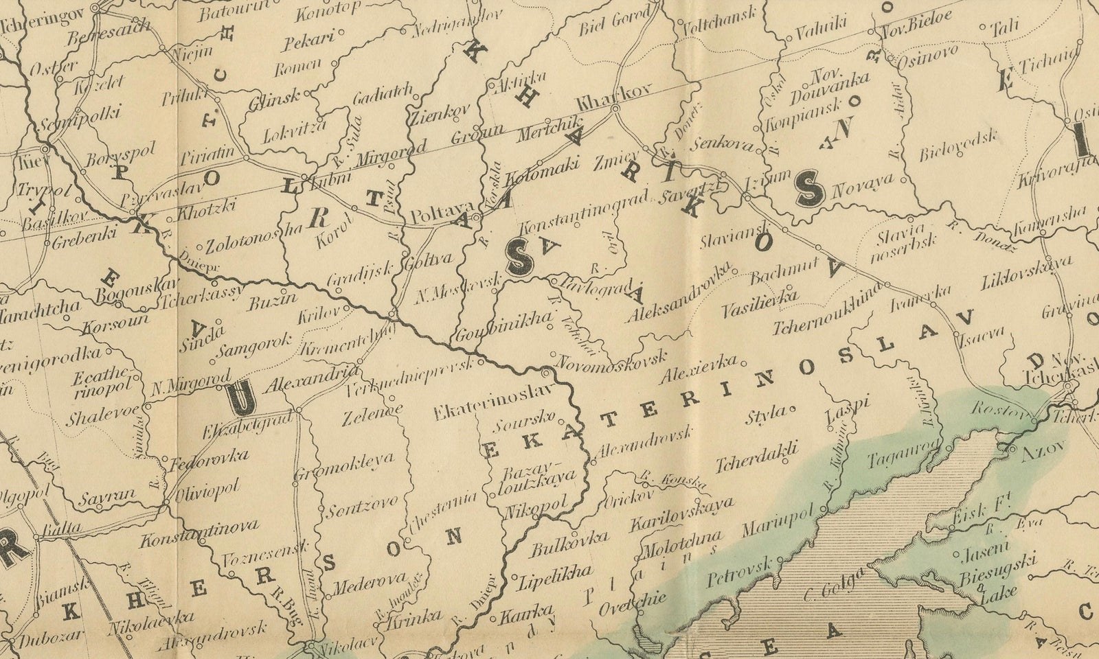
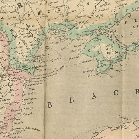
The map focuses on the Black Sea region, the heart of the conflict. It details the frontier provinces of Turkey, Russia, and Austria, including Moldavia, Wallachia, Transylvania, and the Crimea. Towns, fortresses, rivers, and mountain ranges are finely engraved, while borders are highlighted in hand color. The Black Sea is rendered with bold horizontal shading, drawing attention to its strategic significance as the theater of naval operations.
The map’s coverage extends from Vienna and southern Poland in the west to the Caucasus, Armenia, and Persia in the east. Constantinople (Istanbul), the Dardanelles, Sevastopol, Odessa, Trebizond, and other major centers of military interest are clearly shown.
This map is not only a geographical document but also a piece of political propaganda, designed to help the British public visualize the war front. Its practical folding format suggests it was intended for both educational and popular use.
Condition: Good. Original hand color with light age toning. Some spotting and fold wear consistent with age. No Linen backing.
Framing tips: A strong candidate for float-mounting to showcase its linen panels and folding structure. A simple dark frame with cream mat would enhance the period feel while keeping the map’s vibrant hand coloring in focus.
Technique: Engraving with original hand color, dissected and mounted on linen
Maker: George Philip & Son, Liverpool, 1854
Collector’s note: George Philip & Son was one of the leading British map publishers of the mid-19th century. Their “Seat of War” maps, produced during the Crimean War, are highly sought after today as historical artifacts linking Victorian cartography with contemporary world events. This 1854 edition represents one of the earliest printed maps reflecting the unfolding conflict.