Close-ups
Framed and on the wall


Frame and rooms are illustrations of how the piece could look; it is sold unframed unless the description says otherwise.
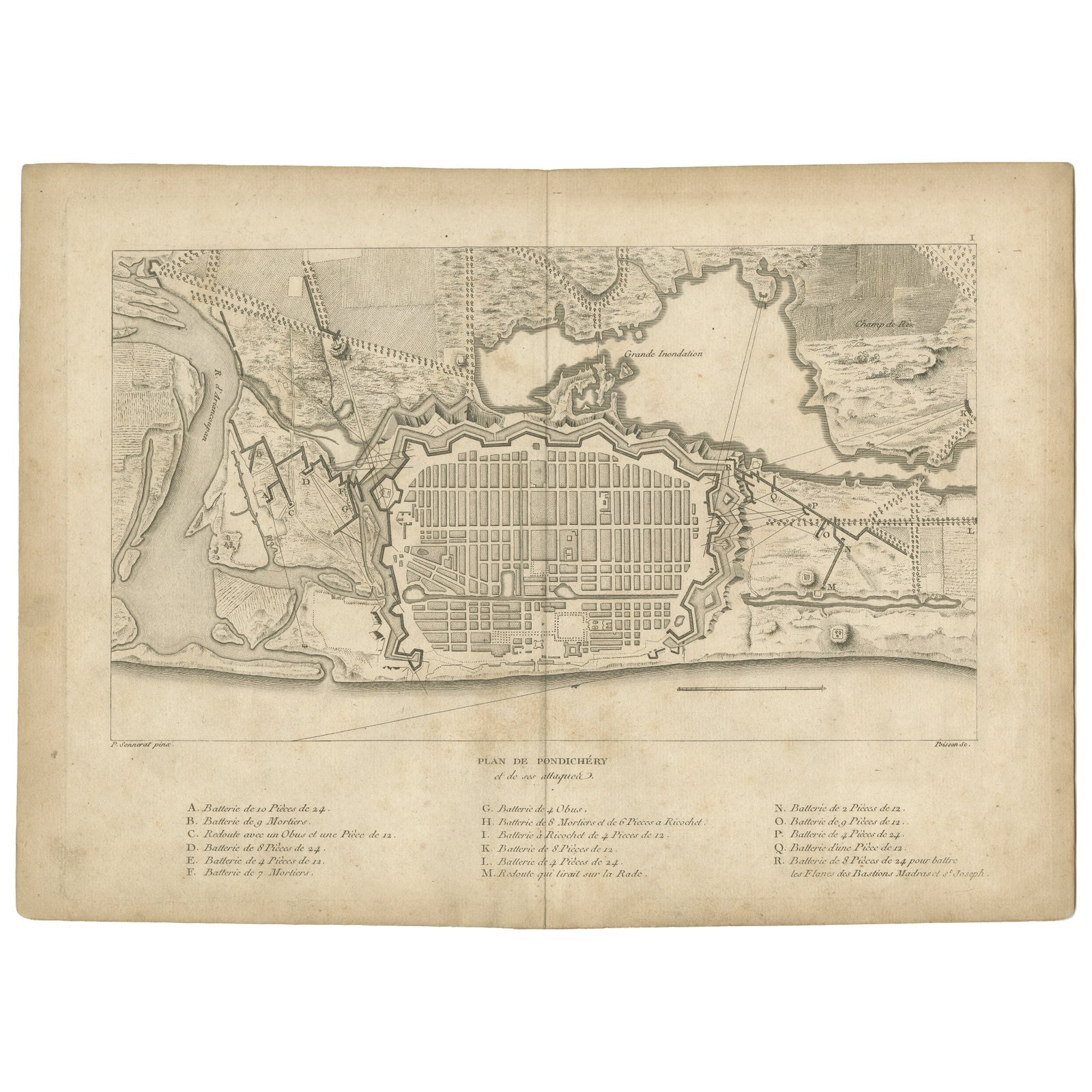
Plan of Pondicherry Fortifications and Attacks, France, c.1750
€360
$405 · £305
Original print, not a reproduction.
Ships worldwide from the Netherlands, flat, insured and tracked. 14-day returns. To buy, use Ask a question and we will reserve it for you.
- Date
- 1750
- Sheet size
- 11.2 × 15.6 in (28.5 × 39.5 cm)
- Condition
- Fair. Fair to good condition. Crisp impression with clear engraved detail. Light general age toning and faint scattered foxing, mainly in margins, not affecting readability. Original center fold as issued. Wide margins intact with slight edge wear.
- Collection
- Sieges & fortresses
- Era
- 1700 to 1789, Wars of the line
- Stock no.
- f_45716432
Plan of Pondicherry Fortifications and Attacks, France, c.1750
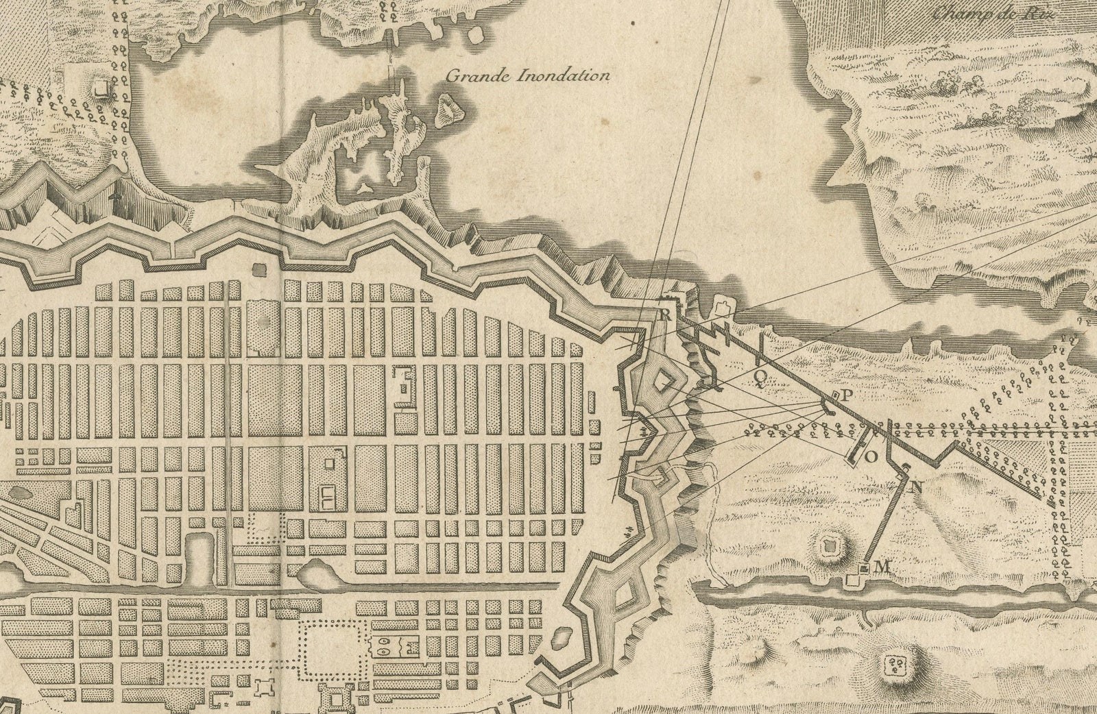
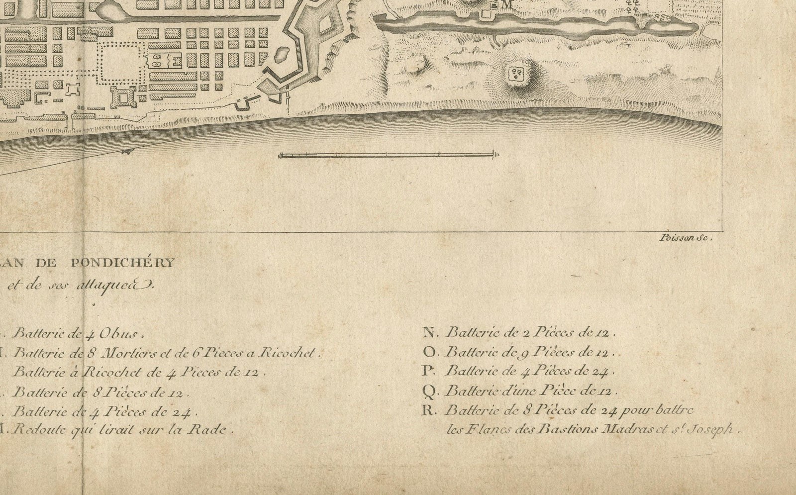
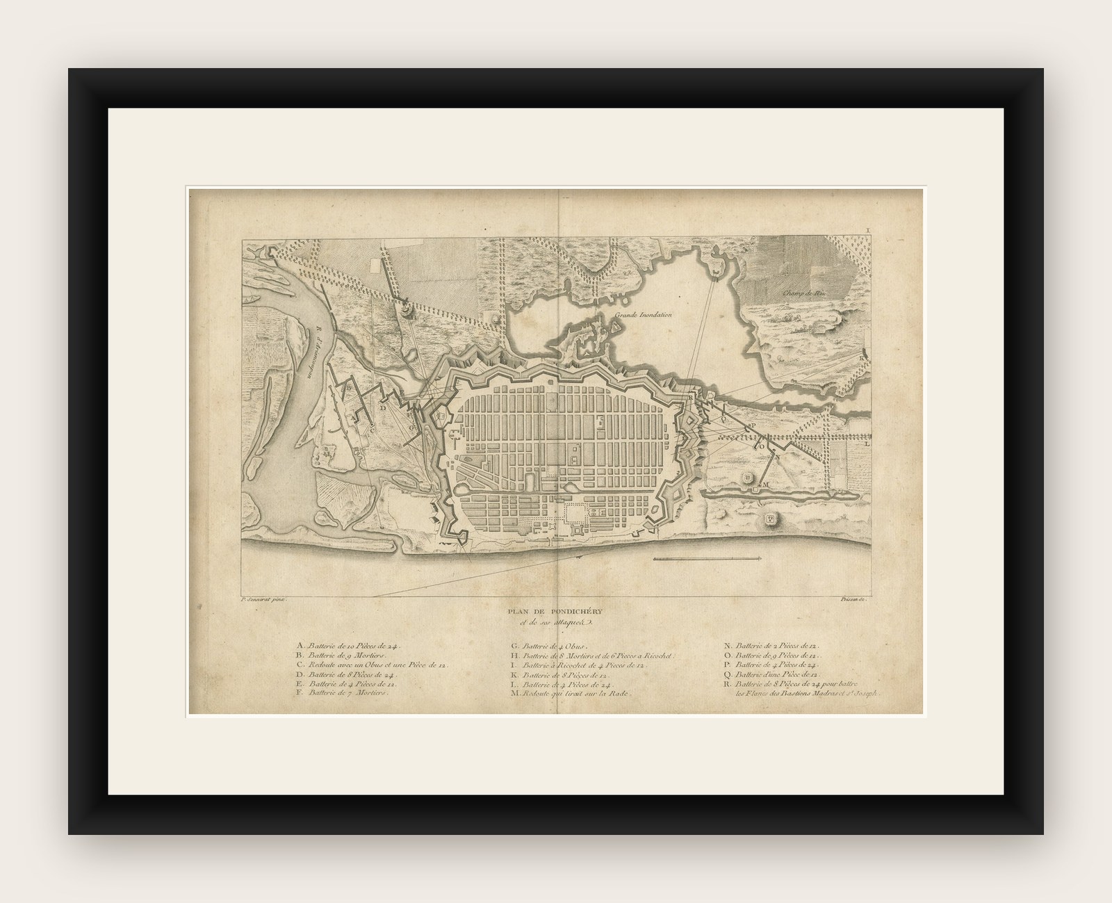
This finely engraved map depicts the fortified city of Pondicherry, titled "Plan de Pondichéry et de ses attaques." It shows the detailed layout of the city and its extensive fortifications with surrounding battlements and attack positions. The engraving includes a comprehensive key listing the locations of various batteries, mortars, and redoubts used in the siege.
Pondicherry (now Puducherry) was the principal French settlement in India during the colonial era, serving as the capital of French India. Its strategic coastal location made it a frequent target during European conflicts in the region, particularly between France and Britain. This plan reflects the city's significance as a military and trading hub in the 17th and 18th centuries.
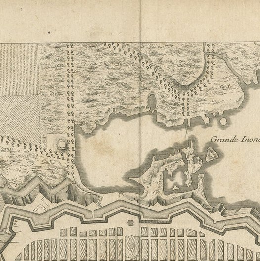
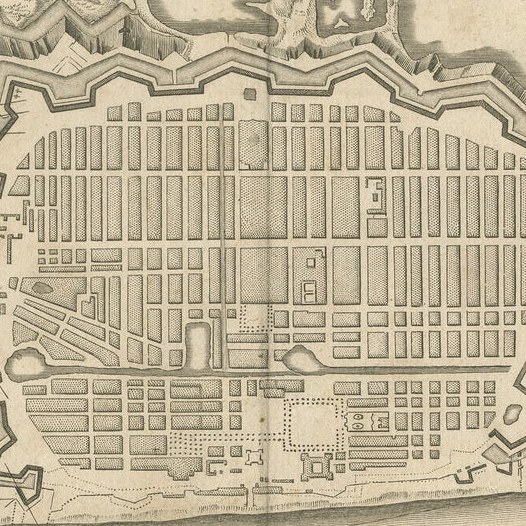
The map is engraved with exceptional precision, illustrating not only the star-shaped fortifications typical of Vauban-style French military architecture but also streets laid out in a strict grid pattern, open fields, surrounding rivers, and canals. The title at the bottom is accompanied by an alphabetical key indicating the specific batteries, their armaments, and their strategic placements around the city walls. Notable features include "Grande Inondation" (Great Flooded Area) and "Champ de Riz" (Rice Field), adding to its topographical and cultural context.
This engraving was printed in France, with the engraver’s name visible as "P. Tardieu" or similar (partially obscured) and likely dates to circa 1750, possibly during or after the Siege of Pondicherry in 1748 or the later siege in 1760-61. Maps such as these were published in military atlases or historical accounts of the wars in India to inform European audiences of colonial campaigns.
Condition report:
Fair to good condition. Crisp impression with clear engraved detail. Light general age toning and faint scattered foxing, mainly in margins, not affecting readability. Original center fold as issued. Wide margins intact with slight edge wear consistent with age.
Framing suggestion:
Frame with a thin black or dark wood moulding and an off-white archival mat to highlight the detailed engraving. UV-protective glass is recommended to preserve paper quality and prevent further toning.