The First World War: Antique Maps and Prints
The First World War in maps and prints made as it happened: War Office maps of the Western Front, German illustrated battle prints of 1914, and folding war maps of Europe.
9 pieces
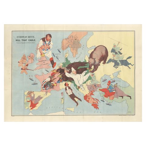
WWI Satirical Cartoon Map: 'Kill That Eagle' by J.H. Amschewitz, 1914
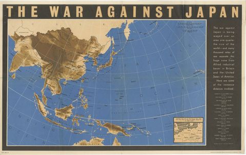
Original Vintage WWII Pacific Theater Map “The War Against Japan” Poster, 1944
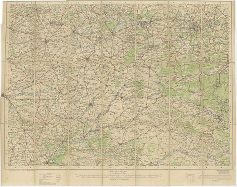
1914 WWI British War Office Map of Arras, Amiens and Reims, Edward Stanford
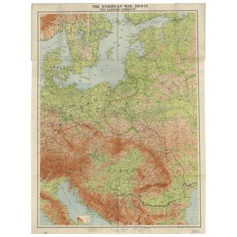
Antique European War Folding Map, ‘circa 1915’
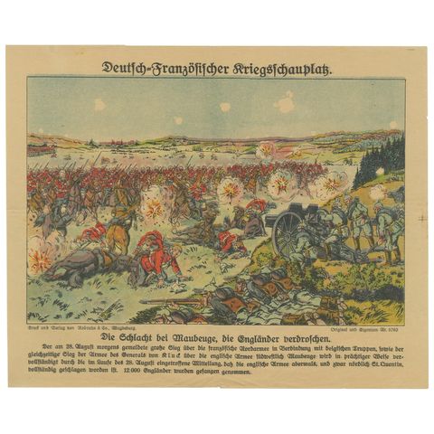
Battle of Maubeuge 1914, WWI German Illustrated War Print, Color Lithograph
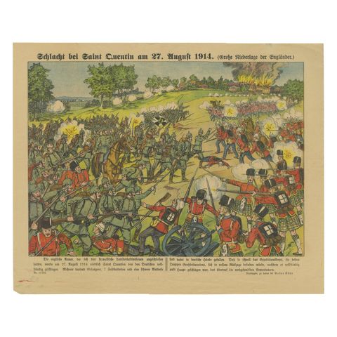
Battle of Saint-Quentin 1914, WWI German Illustrated War Print, Lithograph
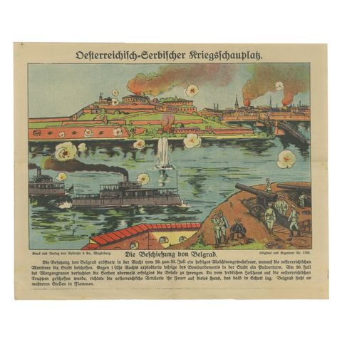
Belgrade Bombardment 1914, Color WWI Battle Print, Austrian-Serbian Front
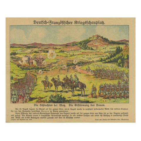
Battle of Metz 1914 Color Lithograph Print, WWI Historical Scene
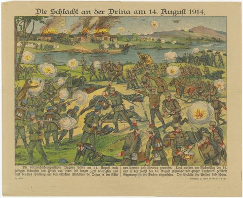
Battle of the Drina, 14 August 1914, Austro-Serbian Front, WWI Color Print
More to explore
WARS