Before 1700: Pike and siege
Military maps and prints printed before 1700: pike and siege. Every one a period original.
24 pieces
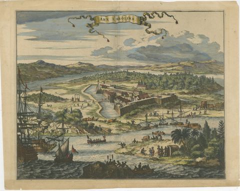
Fort Caroline in Florida, Montanus Engraving, Early America View 1671
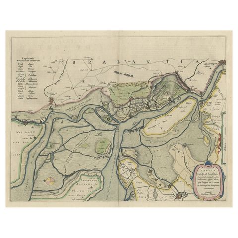
Original Map of the Military Situation After the Dutch Blockade of Antwerp, 1648
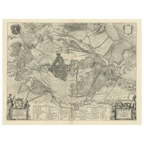
Antique Map of the Siege of Breda, City in the Netherlands by Blaeu, 1649
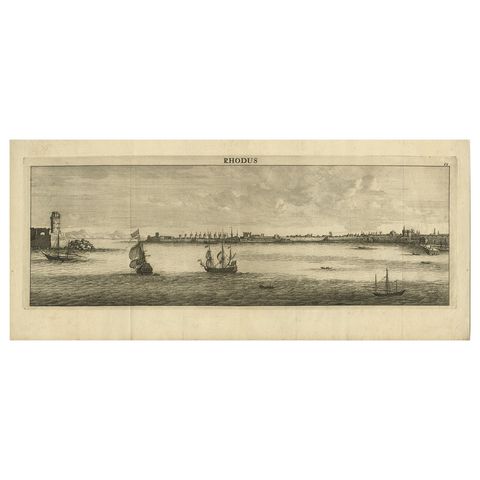
Beautiful View of Rhodes, Greece, depicting the Old Town with Fort, 1698
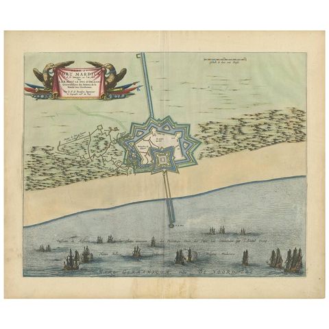
Antique Plan of Fort Mardyck Mardijk, France by S. Beaulieu, 1649
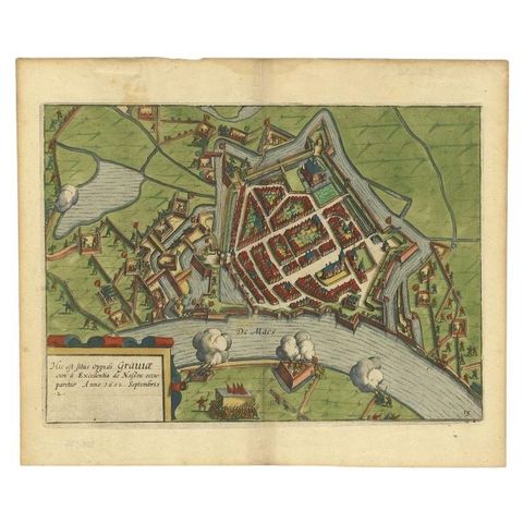
Antique Plan of the Siege of Grave by Guicciardini, c.1608
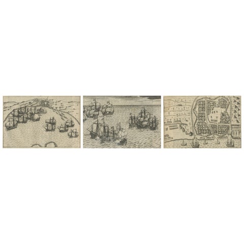
Dutch Fleet and Fortified Port City of Bantam, from History of Amsterdam, 1611
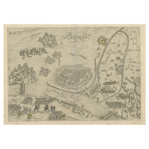
Antique Map of the 1591 Siege and Occupation of Deventer City, Holland, c1610
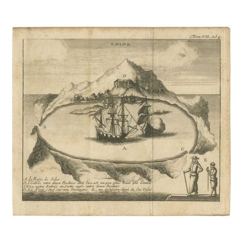
Rare 17th Century Engraving of Solor Island Fort and Bay, Indonesia, circa 1670
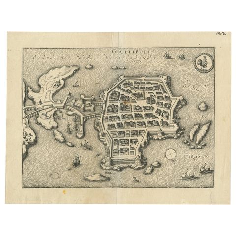
Bird’s-Eye View Map of Gallipoli: Fortified Ionian Gem by Mattheus Merian, 1688
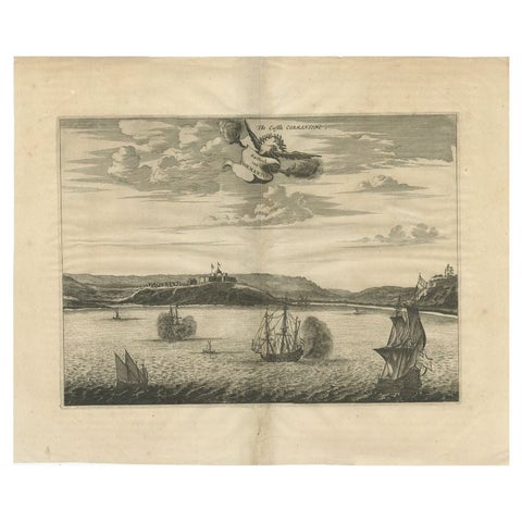
Antique Print of a Fort on the Gold Coast of Africa by Dapper, c.1670
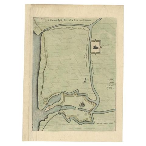
Antique Plan of the Fortress of Greetsiel, Germany, by Blaeu, c.1650
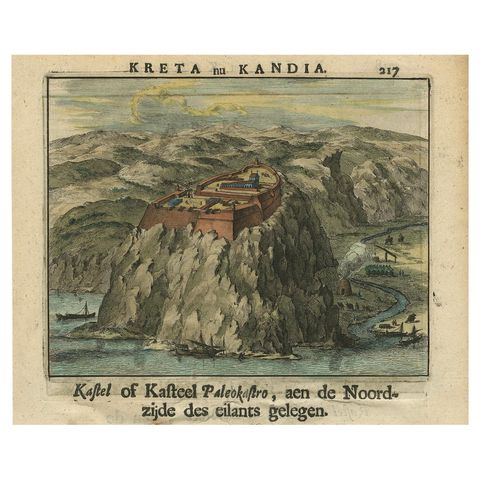
Venetian Fortress Paleokastro on Crete, Antique Print, Hand-Coloured, 1688
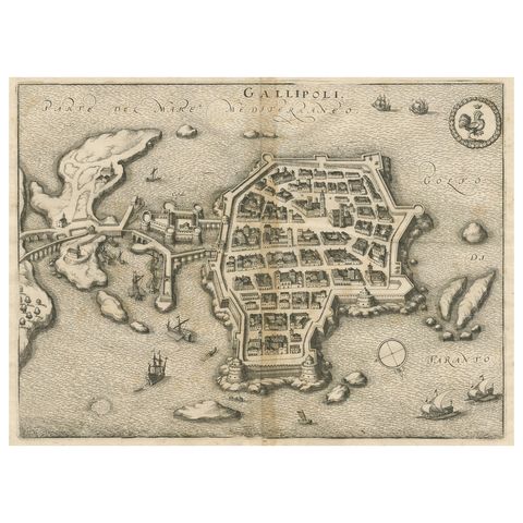
Gallipoli Fortifications: A 1688 Engraved Bird’s-Eye Map by Mattheus Merian
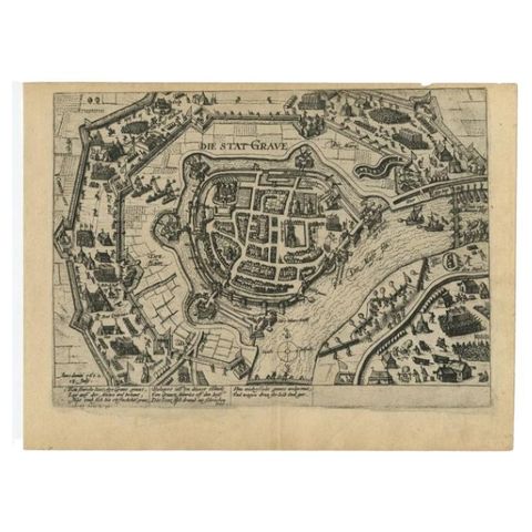
Antique Plan of Grave, The Netherlands, Showing the Siege of Grave in 1602
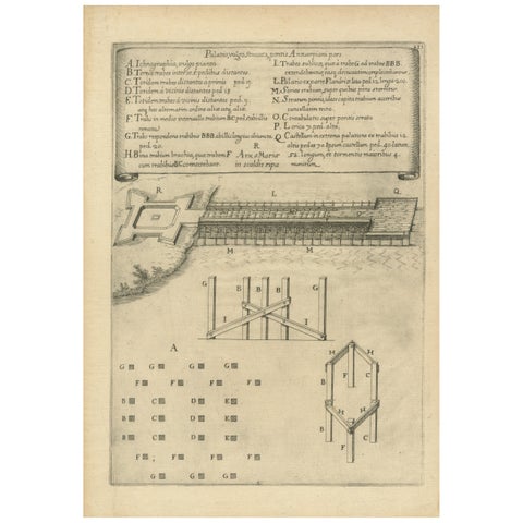
Duke of Parma’s 1585 Ship Bridge Plan: Siege of Antwerp Engineering Print
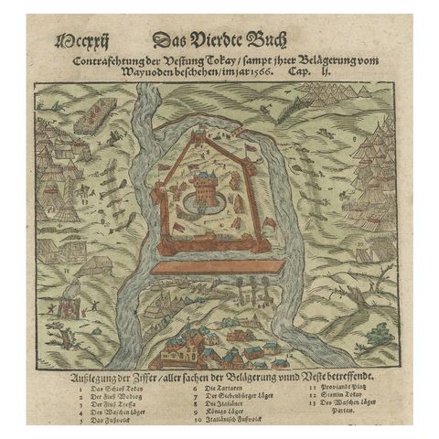
Print of the Fortress Julaof Tokay, Hungary, Surrounded by Turkish Troops, c1580
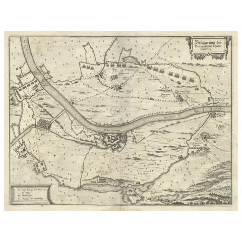
Antique Map of The Siege of Gennep, the Netherlands, c.1650
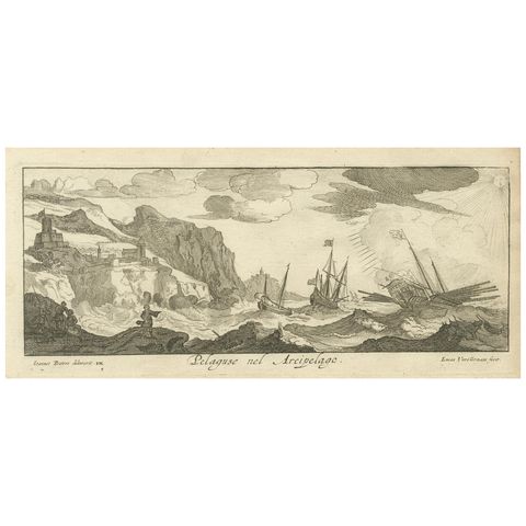
Stormy Scene in the Aegean Archipelago with Coastal Fortifications, circa 1680
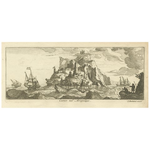
Fortified Island in the Aegean Archipelago with Ships at Sea, circa 1680
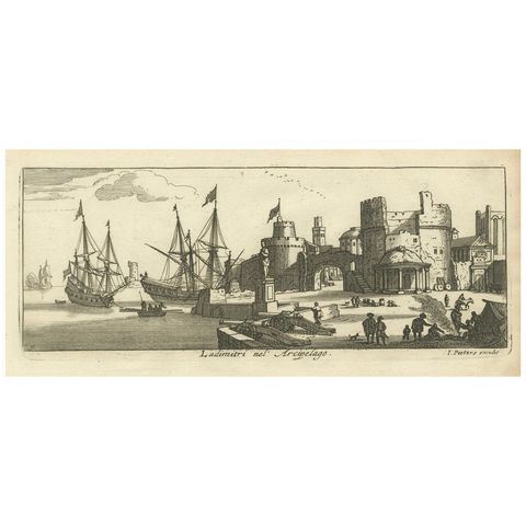
Port Scene at Ladimiti in the Aegean Archipelago with Fortifications, ca. 1680
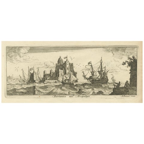
View of Bartanico in the Aegean Archipelago with Fortifications and Ships, 1680
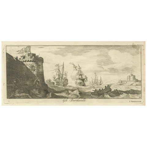
Engraved View of the Dardanelles with Fortifications and Ships, ca. 1680