Before 1700: Pike and siege
Military maps and prints printed before 1700: pike and siege. Every one a period original.
65 pieces
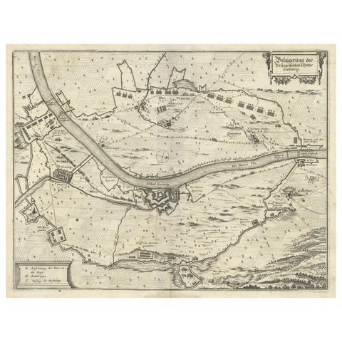
Antique Map of The Siege of Gennep, the Netherlands, c.1650
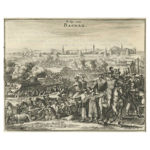
Antique Print of The Siege of Baghdad, Irag, 1680
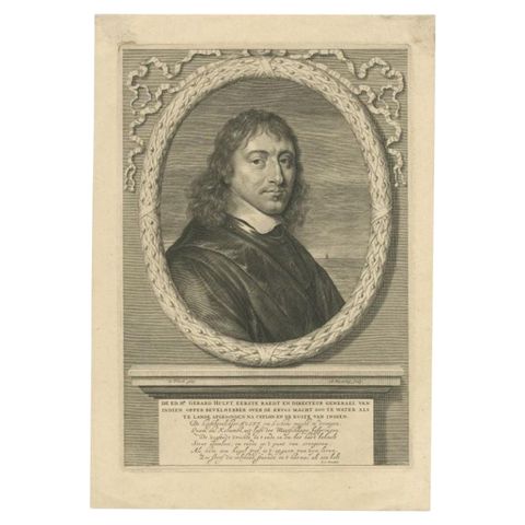
Antique Portrait of Dutch General Gerard Pietersz, Hulft, c.1670
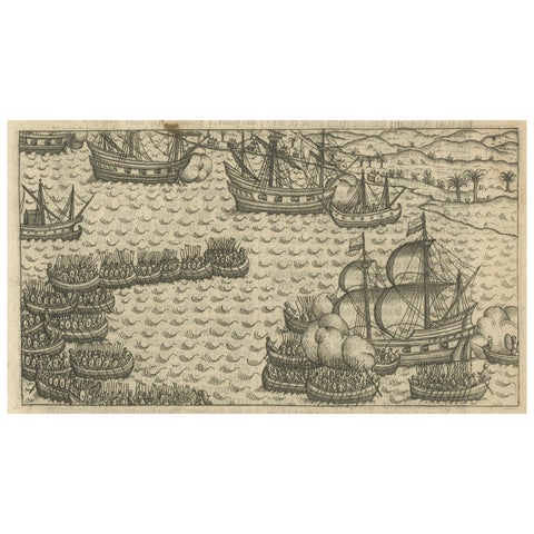
Naval Battle between Dutch and Javanese Fleets near Bantam, Pontanus 1611
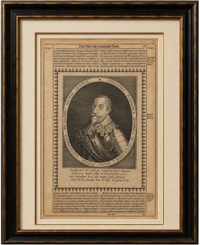
Johann Banér, Swedish General of the Thirty Years’ War, Engraving, 1640
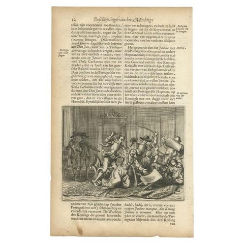
Antique Print of Portugese Soldiers Murdering Ceylon Dignitaries, circa 1672
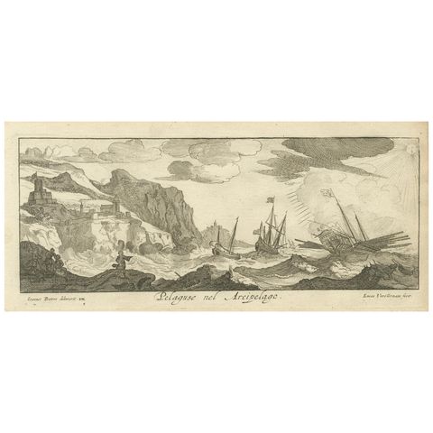
Stormy Scene in the Aegean Archipelago with Coastal Fortifications, circa 1680
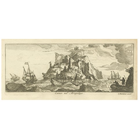
Fortified Island in the Aegean Archipelago with Ships at Sea, circa 1680
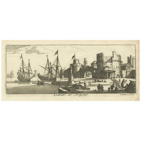
Port Scene at Ladimiti in the Aegean Archipelago with Fortifications, ca. 1680
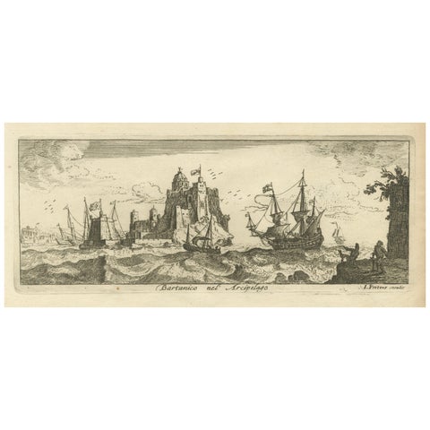
View of Bartanico in the Aegean Archipelago with Fortifications and Ships, 1680
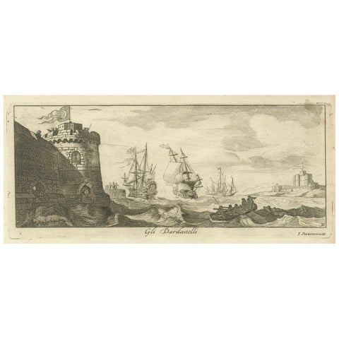
Engraved View of the Dardanelles with Fortifications and Ships, ca. 1680
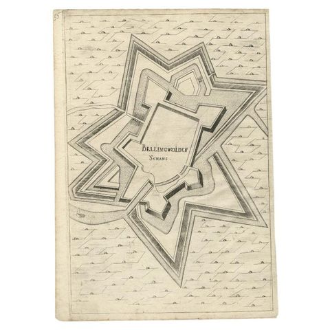
Antique Map of Fortification of Bellingwolderschans, The Netherlands, 1673
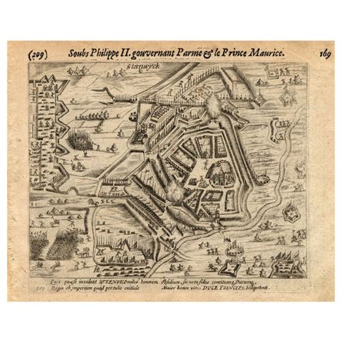
Antique Print of the Siege of Steenwijk, The Netherelands, by Baudartius, 1616
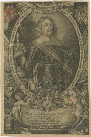
Reinhold de Rosa, Military Commander, Original Antique Engraving, circa 1660
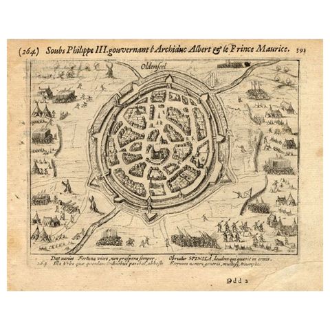
Pl.264 Antique Print of the Siege of Oldenzaal in the East of Holland, 1616
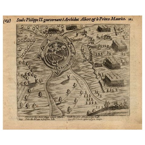
Antique Print of the Siege of Oldenzaal, Enschede & Ootmarsum, 1616