Close-ups
Framed and on the wall
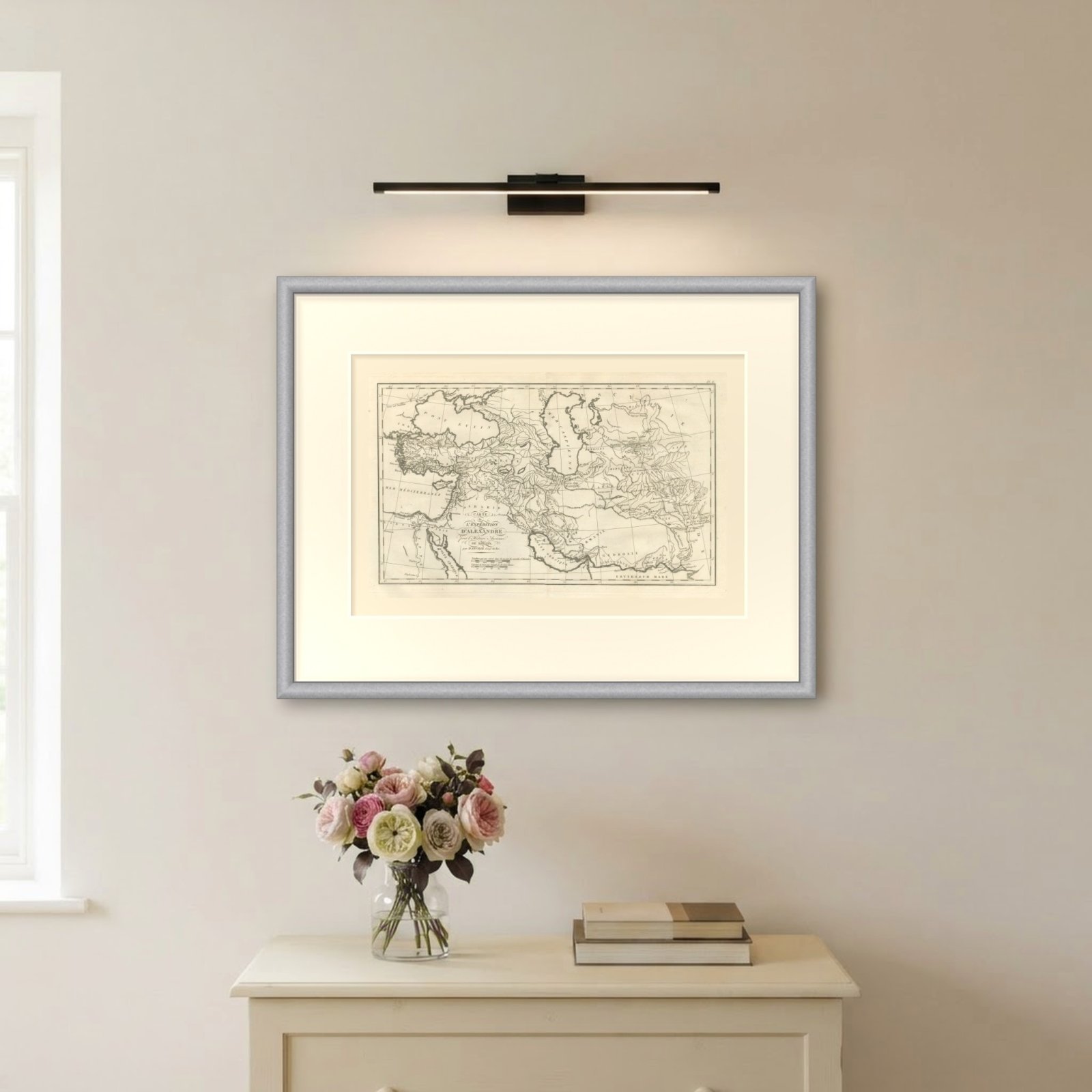

Frame and rooms are illustrations of how the piece could look; it is sold unframed unless the description says otherwise.
Alexander the Great's Expedition to the Indus, d'Anville Map, 1818
£360
$475 · €425
Original print, not a reproduction.
Ships worldwide from the Netherlands, flat or rolled, insured and tracked. 14-day returns.
- Date
- 1818
- Technique
- Copper Engraving
- Coloring
- Uncolored
- Condition
- Good. Light uneven toning, browner toward the edges. Marked handling soiling along all four edges. Foxing over much of the margin. Slight wear at the bottom left corner. Minor edge wear, shallow nicks along the left. Several larger brown marks. A pale brown tide line runs along the lower margin.
- Collection
- Campaign maps
- Era
- 1816 to 1899, Empire and industry
- Stock no.
- BG-14399-11
What the condition grades mean
- Excellent
- Bright and clean, with no faults worth mentioning.
- Very good
- Only light signs of age, such as faint toning.
- Good
- Normal signs of age for a sheet of this period: toning, some foxing, small marks or neat old repairs.
- Fair
- Clear faults such as staining, tears or repairs, priced to match.
Every fault we see is written in the condition note, and the whole sheet is shown uncropped in the photos.
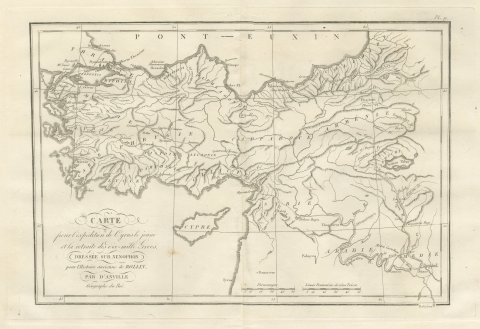
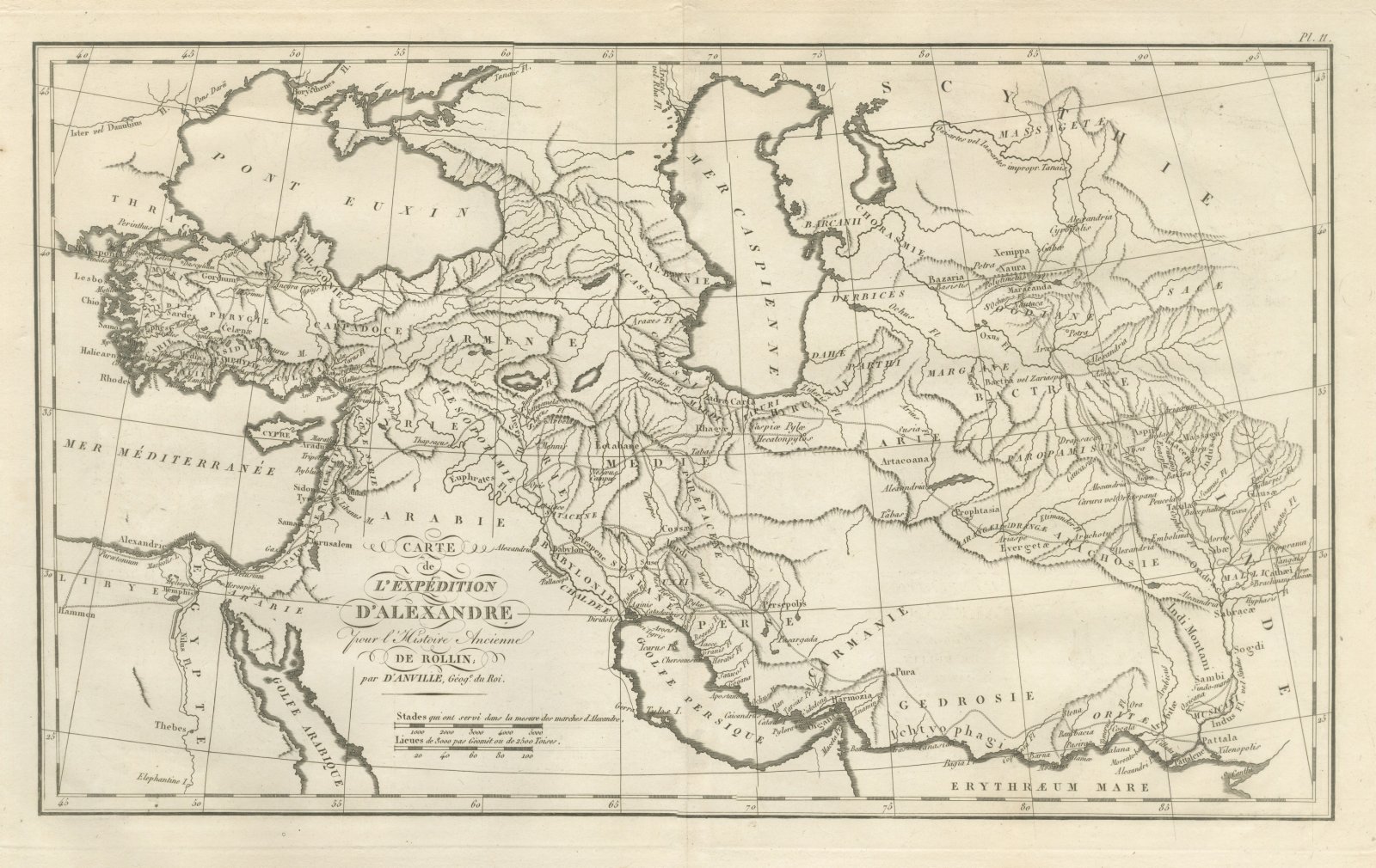
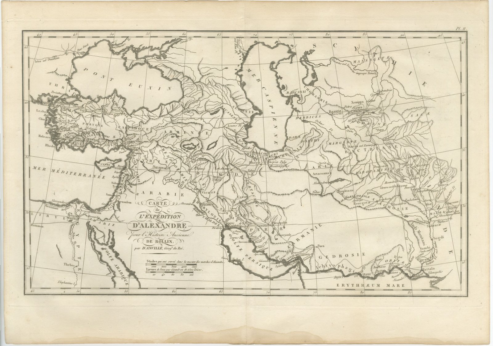
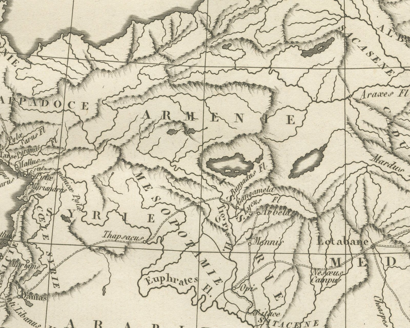
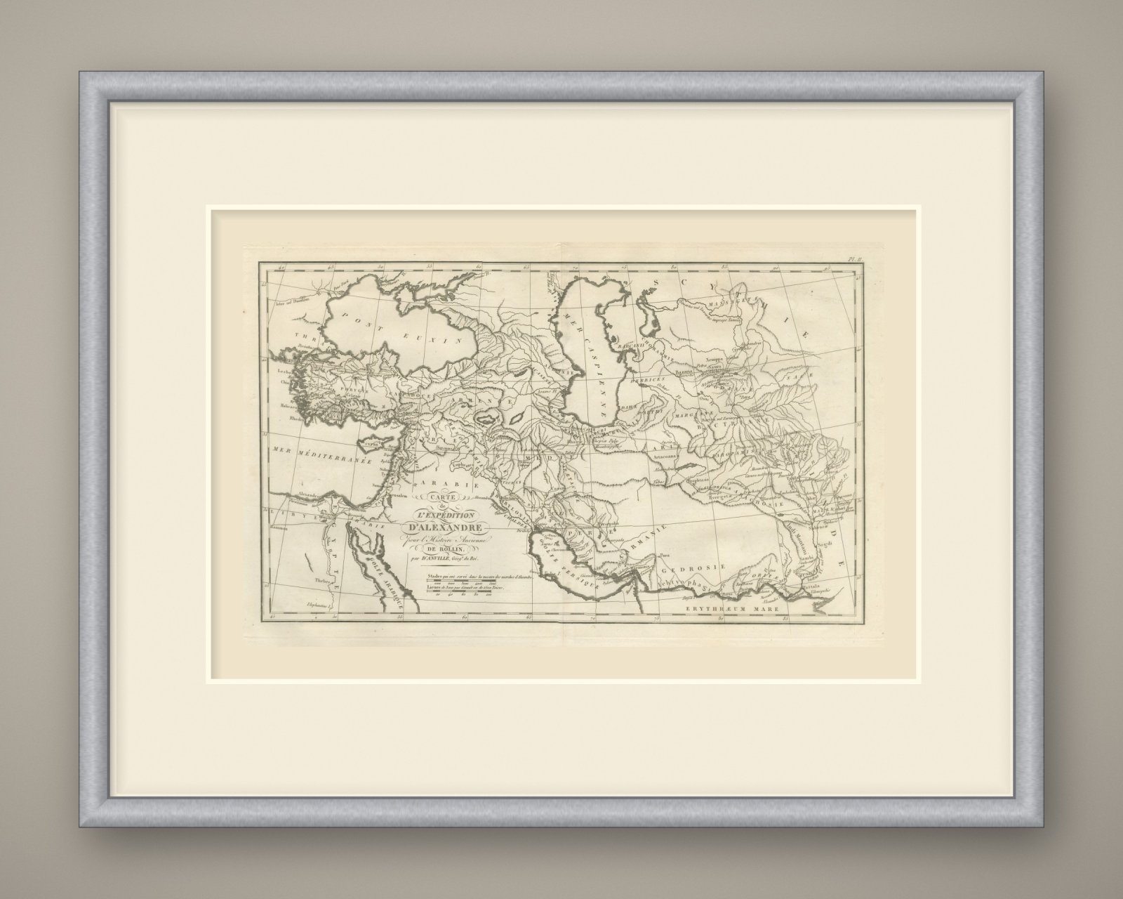
An original copper engraved map, uncolored, of the lands crossed by Alexander the Great. It reaches from Egypt, the eastern Mediterranean and the Aegean islands of Lesbos, Chios and Rhodes in the west to the Indus in the east, with the Pont Euxin and the Mer Caspienne to the north and the Golfe Persique and the Erythraeum Mare to the south. Thin ruled and dotted lines trace the line of march through Babylon, Suse, Persepolis and Pasargada, north past the Caspiae Pylae and Hecatonpylos to Bactra vel Zariaspa and Maracanda, and down through Taxila and the Hydaspes and Hyphasis rivers to Pattala at the mouths of the Indus. Several towns named Alexandria are lettered along the way, one of them beside Cyropolis in the far northeast.
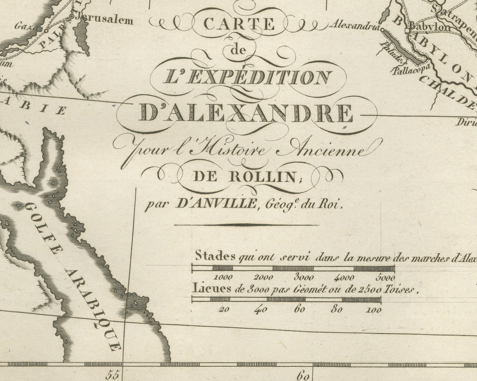
The cartouche reads Carte de l'Expédition d'Alexandre pour l'Histoire Ancienne de Rollin; par d'Anville, Géog.e du Roi. The plate is numbered Pl. 11 above the upper right corner of the border. Below the cartouche are two scale bars, Stades qui ont servi dans la mesure des marches d'Alexandre. and Lieues de 3000 pas Géomét. ou de 2500 Toises. The graticule is numbered in degrees along the borders, and a light center fold runs through the double sheet.
The plate comes from the Atlas de Géographie Ancienne, published in Paris in 1818 by Ledoux et Tenré and printed by Didot le jeune to accompany the works of Charles Rollin (1661 to 1741), the French historian, author of the Histoire ancienne and the Histoire romaine. Its maps are engraved after the originals of Jean-Baptiste Bourguignon d'Anville (1697 to 1782). In the foreword, signed by Ambroise Tardieu, géographe-graveur, Tardieu writes that the maps were copied with religious fidelity and that, charged with reviewing the proofs, he corrected only negligences and faults of execution. Alexander the Great led the Macedonian army against the Persian Empire and on into India, and this map follows that campaign for Rollin's ancient history.
Condition: Light uneven toning, browner toward the edges. Marked handling soiling along all four edges. Foxing over much of the margin. Slight wear at the bottom left corner. Minor edge wear, shallow nicks along the left. Several larger brown marks. A pale brown tide line runs along the lower margin.
This is an original antique map, not a modern reproduction. This item is sold unframed. Any framed or interior images are shown for presentation and inspiration only, unless the listing explicitly states that the item is sold framed.
EXPLORE