Framed and on the wall
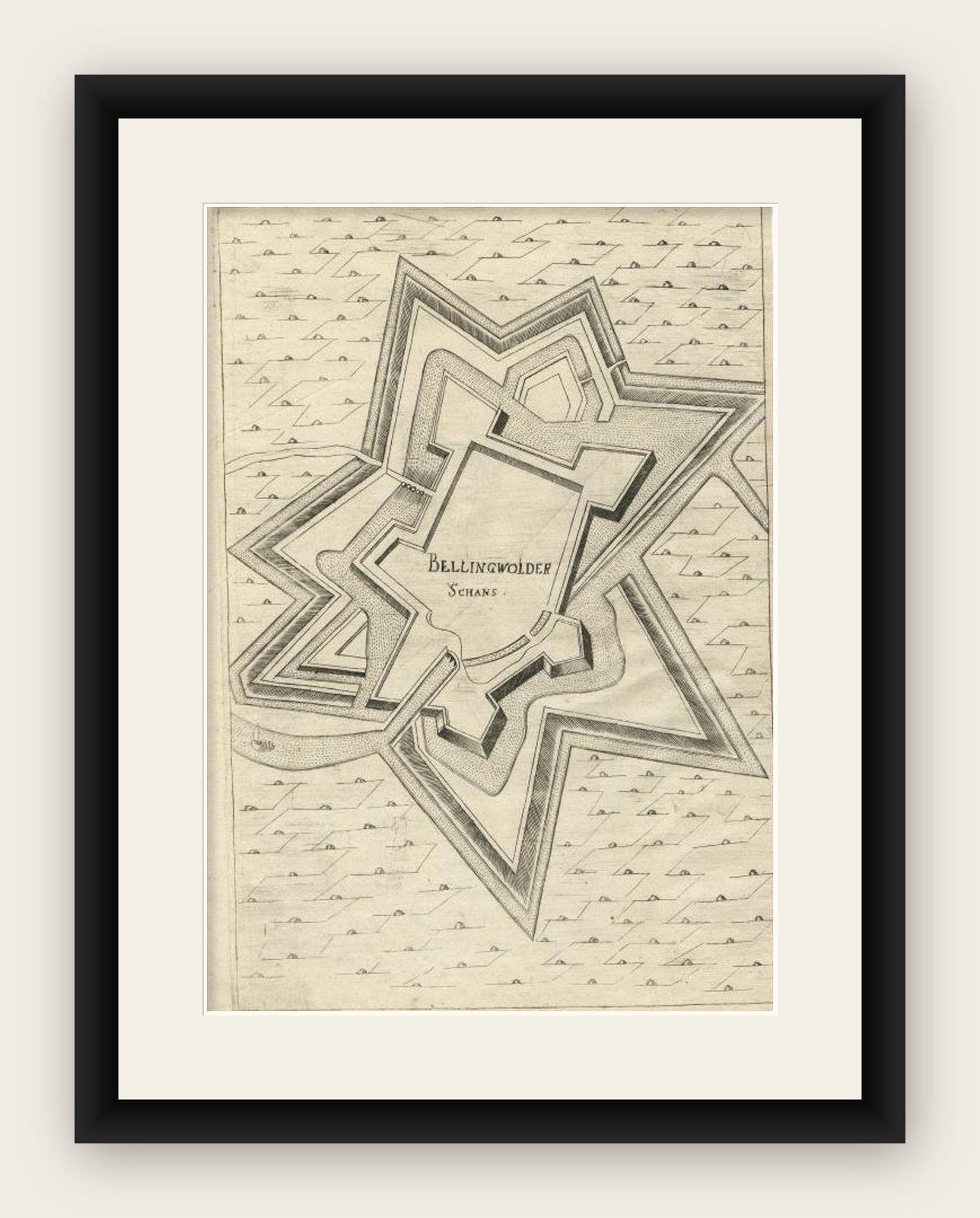
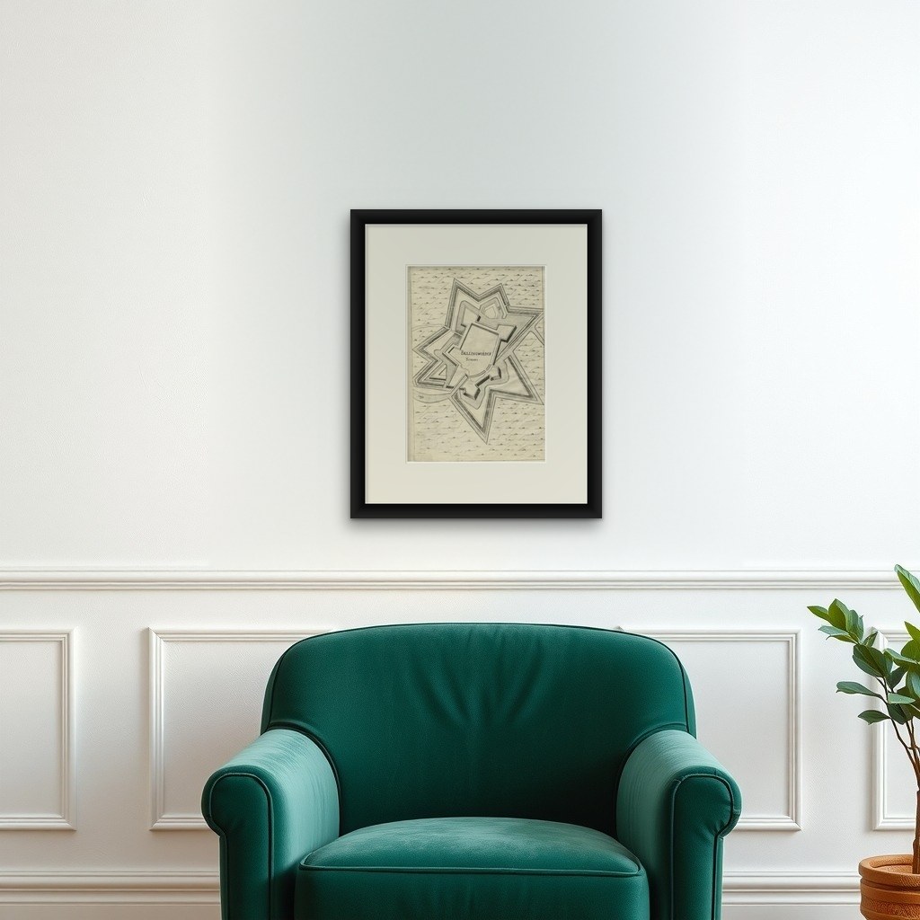

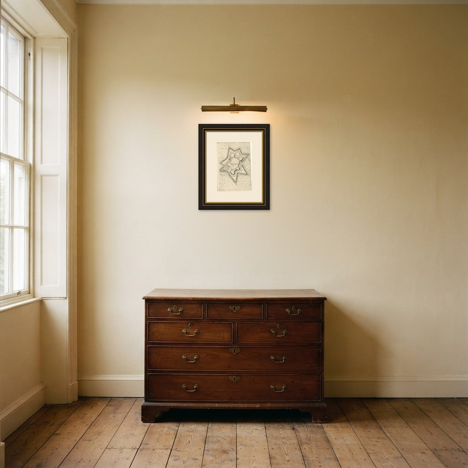
Frame and rooms are illustrations of how the piece could look; it is sold unframed unless the description says otherwise.
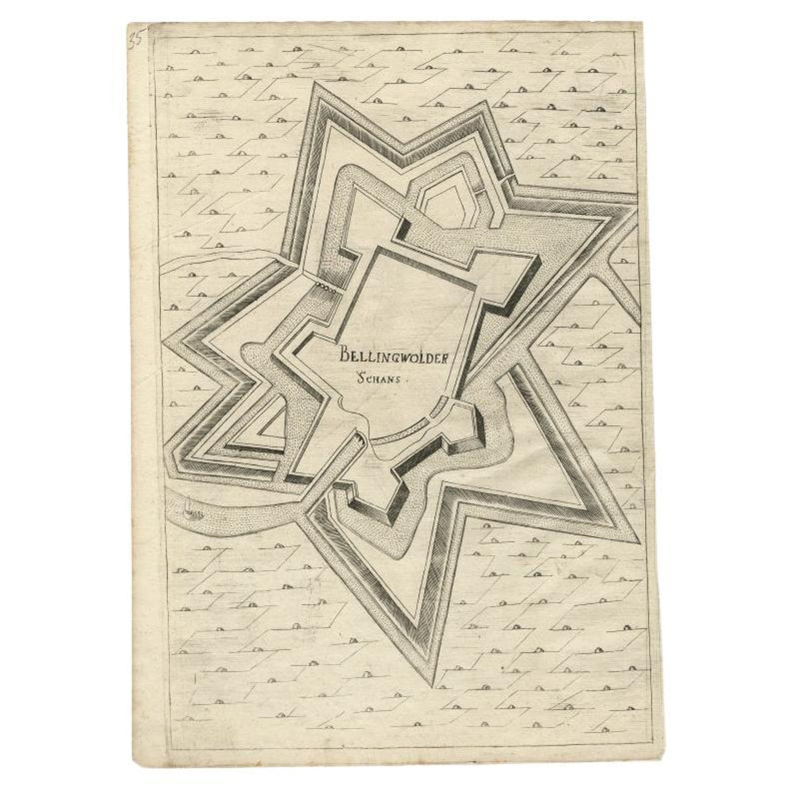
Antique Map of Fortification of Bellingwolderschans, The Netherlands, 1673
£165£11530% off
$155 · €140
Original print, not a reproduction.
Ships worldwide from the Netherlands, flat or rolled, insured and tracked. 14-day returns.
- Date
- 1673
- Sheet size
- 13.4 × 9.4 in (34 × 24 cm)
- Condition
- Good
- Collection
- Sieges & fortresses
- Era
- Before 1700, Pike and siege
- Stock no.
- BG-00388
What the condition grades mean
- Excellent
- Bright and clean, with no faults worth mentioning.
- Very good
- Only light signs of age, such as faint toning.
- Good
- Normal signs of age for a sheet of this period: toning, some foxing, small marks or neat old repairs.
- Fair
- Clear faults such as staining, tears or repairs, priced to match.
Every fault we see is written in the condition note, and the whole sheet is shown uncropped in the photos.
Antique map titled 'Bellingwolderschans'. Original map of the fortification of Bellingwolderschans, the Netherlands. This map originates from 'Teatro del Belgio', by G. Gualdo Priorato.
Artists and Engravers: Author: Galeazzo Gualdo Priorato (1606-1678) entered military service at a very young age and served in Flanders under the Prince of Orange. After his retirement, he authored several historical accounts including the Teatro del Belgio, which described the Catholic/Protestant wars in Belgium and Netherlands during the seventeenth century. His superb plans do not show the internal layout of the cities, except for showing the locations of the major churches. Instead the emphasis is on the fortification, as well as on the surrounding site, rivers and canals. Gaspar Bouttats (1625, 1695), Flemish engraver.
Image size: 22 x 32.5 cm.
EXPLORE