Framed and on the wall
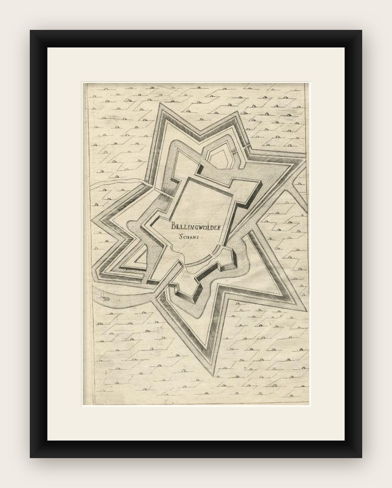
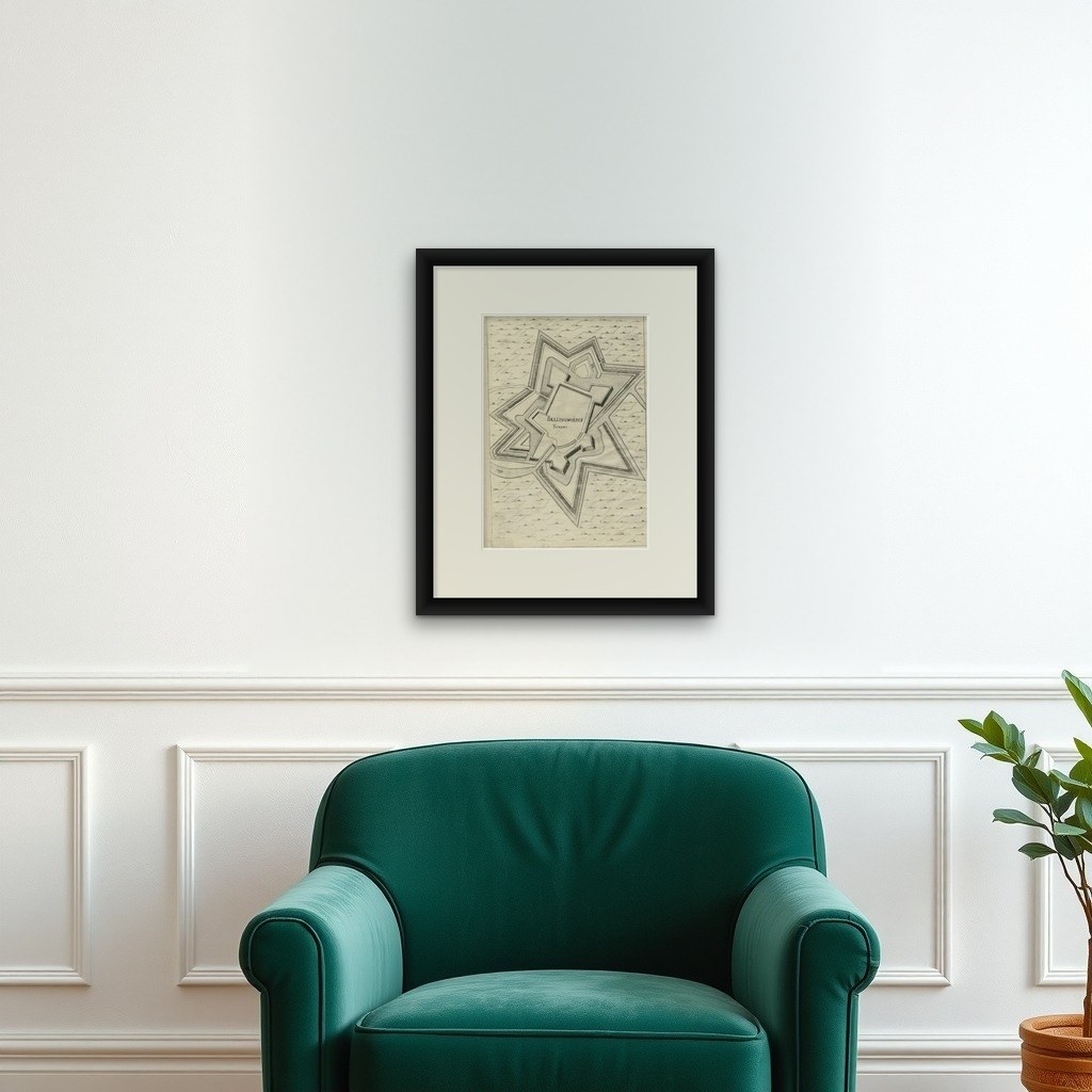
Frame and rooms are illustrations of how the piece could look; it is sold unframed unless the description says otherwise.
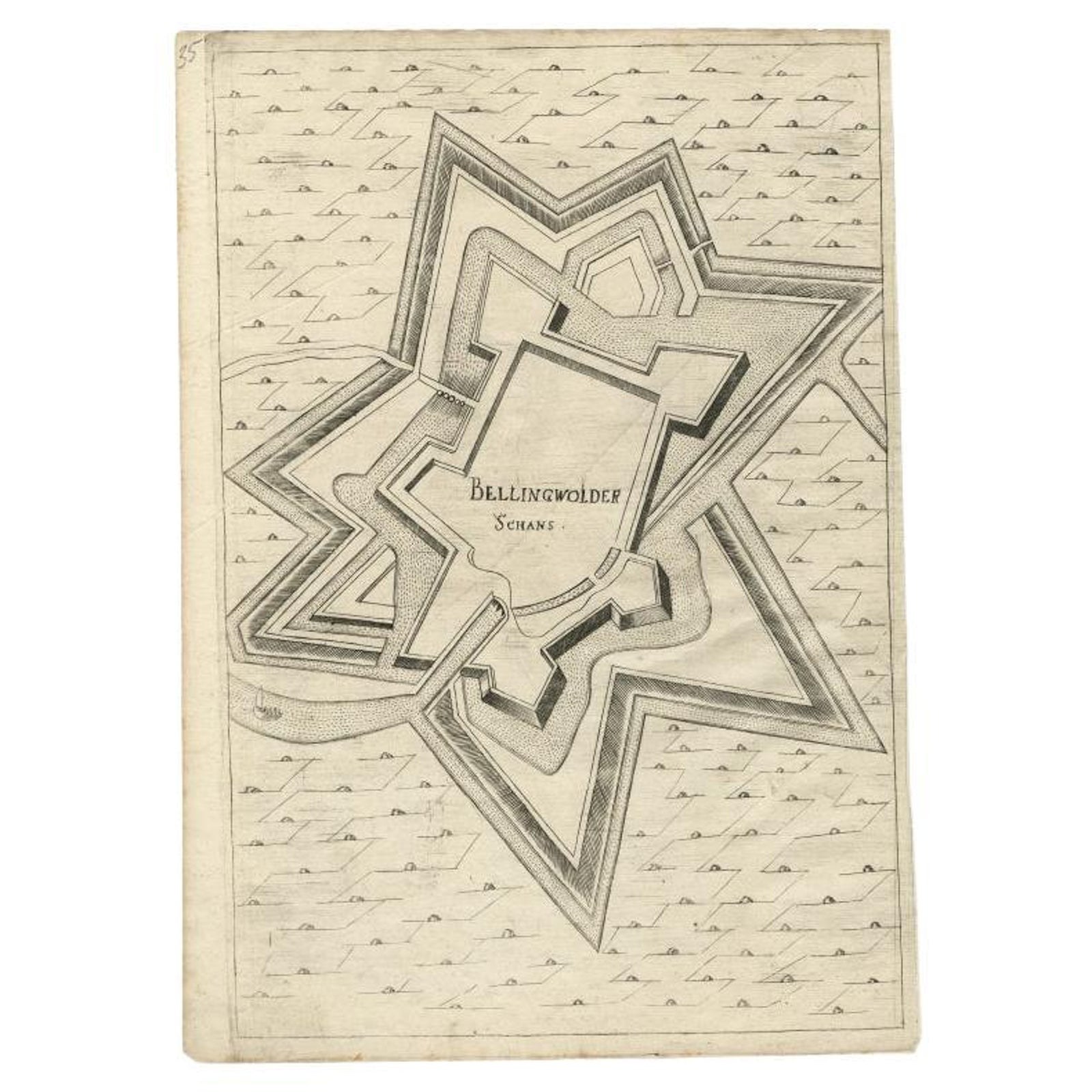
Antique Map of Fortification of Bellingwolderschans, The Netherlands, 1673
$225
€200 · £170
Original print, not a reproduction.
Ships worldwide from the Netherlands, flat, insured and tracked. 14-day returns. To buy, use Ask a question and we will reserve it for you.
- Date
- 1673
- Sheet size
- 13.4 × 9.4 in (34 × 24 cm)
- Condition
- Good
- Collection
- Sieges & fortresses
- Era
- Before 1700, Pike and siege
- Stock no.
- f_26084912
Antique map titled 'Bellingwolderschans'. Original map of the fortification of Bellingwolderschans, the Netherlands. This map originates from 'Teatro del Belgio', by G. Gualdo Priorato.
Artists and Engravers: Author: Galeazzo Gualdo Priorato (1606-1678) entered military service at a very young age and served in Flanders under the Prince of Orange. After his retirement, he authored several historical accounts including the Teatro del Belgio, which described the Catholic/Protestant wars in Belgium and Netherlands during the seventeenth century. His superb plans do not show the internal layout of the cities, except for showing the locations of the major churches. Instead the emphasis is on the fortification, as well as on the surrounding site, rivers and canals. Gaspar Bouttats (1625, 1695), Flemish engraver.
Condition: Good, general age-related toning. Some wear and creasing, please study image carefully.
Date: 1673
Overall size: 24 x 34 cm.
Image size: 22 x 32.5 cm.
We sell original antique maps to collectors, historians, educators and interior decorators all over the world. Our collection includes a wide range of authentic antique maps from the 16th to the 20th centuries. Buying and collecting antique maps is a tradition that goes back hundreds of years. Antique maps have proved a richly rewarding investment over the past decade, thanks to a growing appreciation of their unique historical appeal. Today the decorative qualities of antique maps are widely recognized by interior designers who appreciate their beauty and design flexibility. Depending on the individual map, presentation, and context, a rare or antique map can be modern, traditional, abstract, figurative, serious or whimsical. We offer a wide range of authentic antique maps for any budget.
EXPLORE