Framed and on the wall

Frame and rooms are illustrations of how the piece could look; it is sold unframed unless the description says otherwise.
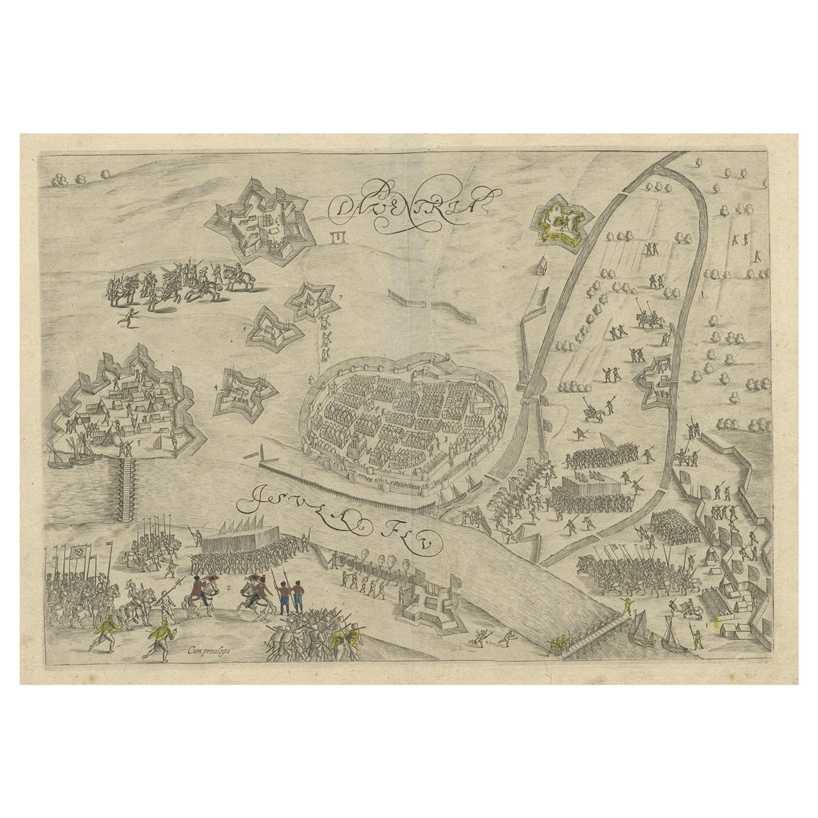
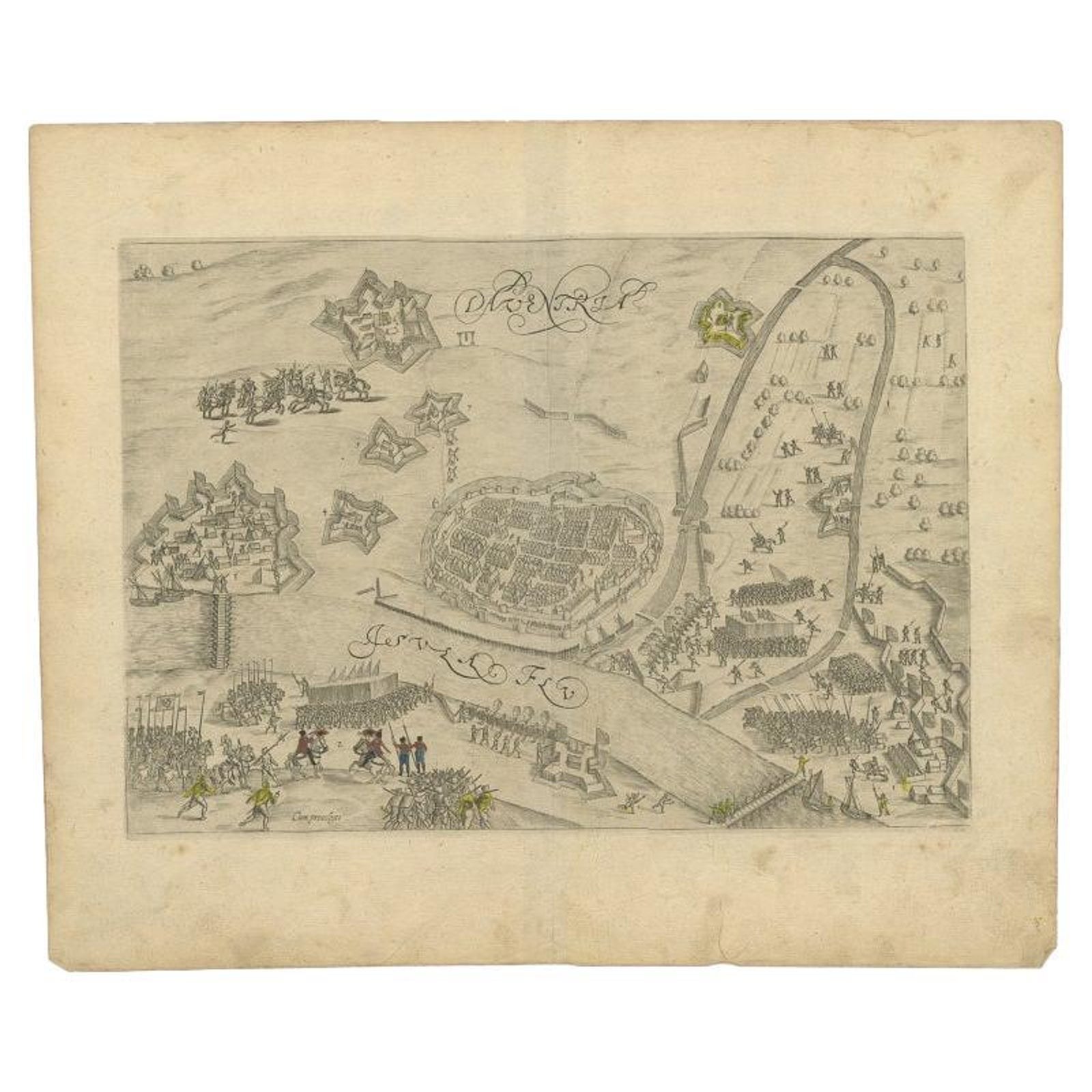
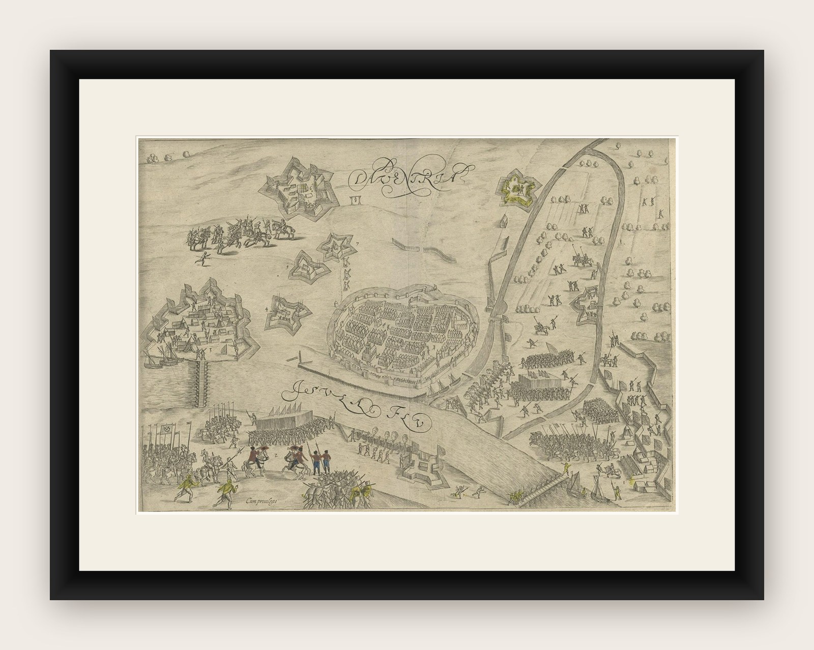
Antique Map of the 1591 Siege and Occupation of Deventer City, Holland, c1610
$430
€380 · £325
Original print, not a reproduction.
Ships worldwide from the Netherlands, flat, insured and tracked. 14-day returns. To buy, use Ask a question and we will reserve it for you.
- Date
- 1591
- Sheet size
- 12.2 × 14.8 in (31 × 37.5 cm)
- Condition
- Good. General age-related toning. Some soiling, please study image carefully.
- Collection
- Sieges & fortresses
- Era
- Before 1700, Pike and siege
- Stock no.
- f_26159982
Antique map titled 'Daventria'. Old map of the city of Deventer, the Netherlands. The print illustrates the siege and occupation of Deventer by the State army under command of prince Maurits on 10 June 1591. It shows the city of Deventer and the surrounding land with walls and ramparts. With two pontoon bridges over the IJssel river. This map originates from 'Den Nassauschen Lauren-Crans: Beschrijvinghe ende af-beeldinge van alle de victorien' by Jan Jansz. Orlers en Hendrik van Haestens.
Artists and Engravers: Jan Janszoon Orlers (1570, 1646), Dutch historian.
Condition: Good, general age-related toning. Some soiling, please study image carefully.
Date: 1610
Overall size: 37.5 x 31 cm.
Image size: 31 x 22 cm.