Close-ups
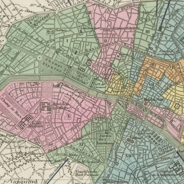
Framed and on the wall
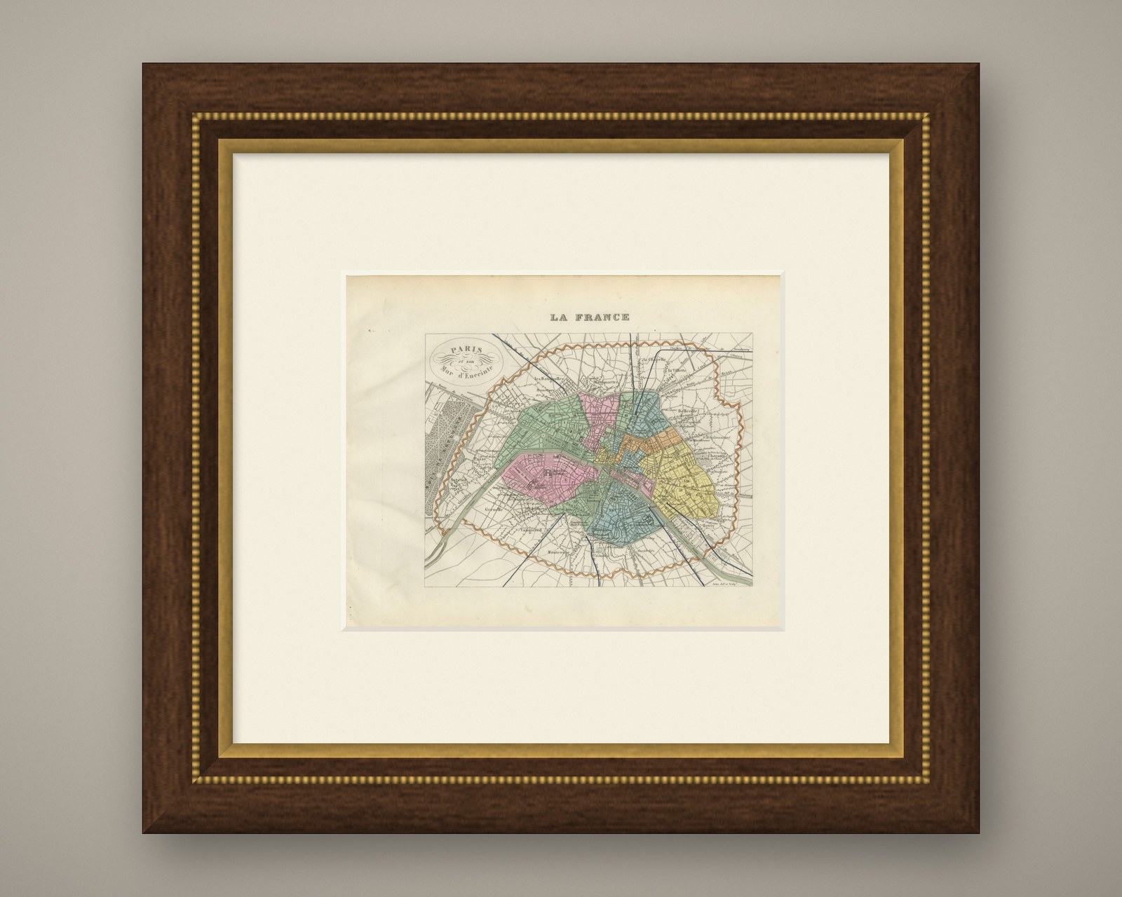

Frame and rooms are illustrations of how the piece could look; it is sold unframed unless the description says otherwise.
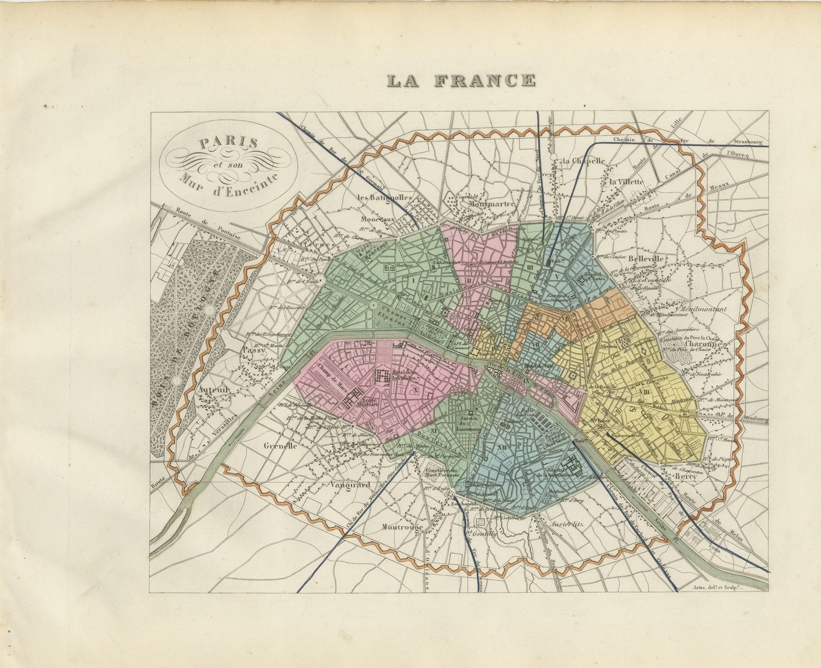
Antique Plan of Paris and its Fortified Enceinte, Vuillemin, circa 1860
$250
€220 · £185
Original print, not a reproduction.
Ships worldwide from the Netherlands, flat, insured and tracked. 14-day returns. To buy, use Ask a question and we will reserve it for you.
- Date
- circa 1860
- Technique
- Steel Engraving
- Colouring
- Original hand colour
- Condition
- Good. Good condition for its age. Light toning and a few small spots to the margins, with minor wear at the upper right edge. The image is clean. Please review the images for further condition details.
- Collection
- Sieges & fortresses
- Era
- 1816 to 1899, Empire and industry
- Stock no.
- BG-13331-87
A plan of Paris within its wall of fortification, the enceinte built under Thiers in the 1840s that defined the city until the ring road replaced it. The plan names the villages that the wall enclosed and that were absorbed into the city in 1860: Les Batignolles, Monceaux, Montmartre, La Chapelle, La Villette, Belleville, Menilmontant, Charonne, Bercy, Vaugirard, Grenelle, Passy and Montrouge, with the Champ de Mars, the canal, the Seine and the railway lines to Lille, Strasbourg and Berry drawn through it. A plan of this date shows Paris in the middle of the Haussmann rebuilding, with the old street pattern still largely in place and the new boulevards cutting through it. City plans sell better than department maps, and a Paris plan of this period sells best of all.
La France, Nouvel Atlas Illustre des Departements et des Colonies was drawn by Alexandre Vuillemin, ingenieur geographe, and published in Paris by Migeon at 9 rue de la Vieille Monnaie. Vuillemin built each sheet from the official surveys, the Cassini maps, the Depot de la Guerre, the Ponts et Chaussees and the charts of the Marine, and then framed the map with engraved vignettes: a portrait of a figure born in the department, a view of a monument or a ruin, a coat of arms. The result is part atlas and part popular encyclopaedia, and it remains one of the most decorative French departmental series of the nineteenth century.
The plates in this copy show France divided into eighty six departments and the county of Nice still outside the frontier, so the engraving was completed before the annexation of Savoy and Nice in 1860, although Migeon went on issuing the atlas for many years afterwards. The sheets suit a French interior particularly well, and a group of neighbouring departments hung together makes an attractive run.
The sheet is in good condition for its age, with light toning, a few small spots and minor edge wear confined to the margins; the image itself is clean.
This is an original antique map, not a modern reproduction. This item is sold unframed. Any framed or interior images are shown for presentation and inspiration only, unless the listing explicitly states that the item is sold framed.