Close-ups
Framed and on the wall


Frame and rooms are illustrations of how the piece could look; it is sold unframed unless the description says otherwise.
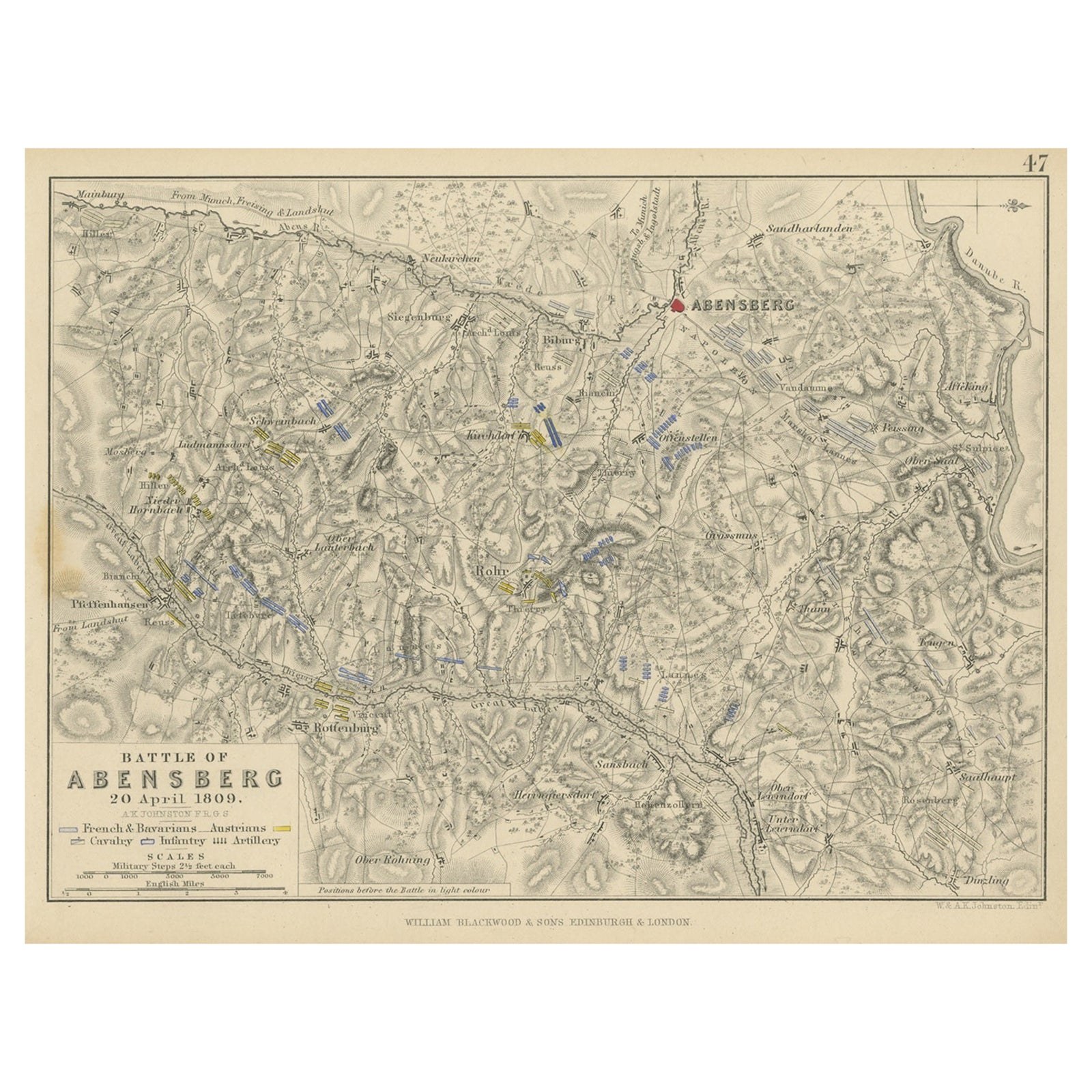
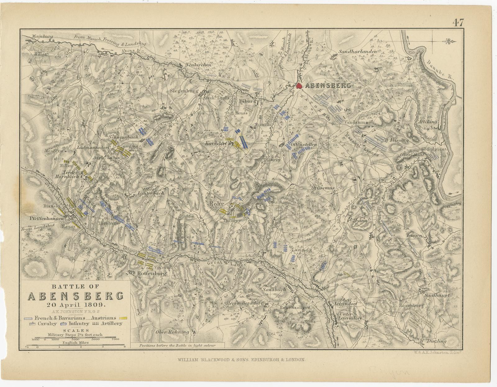
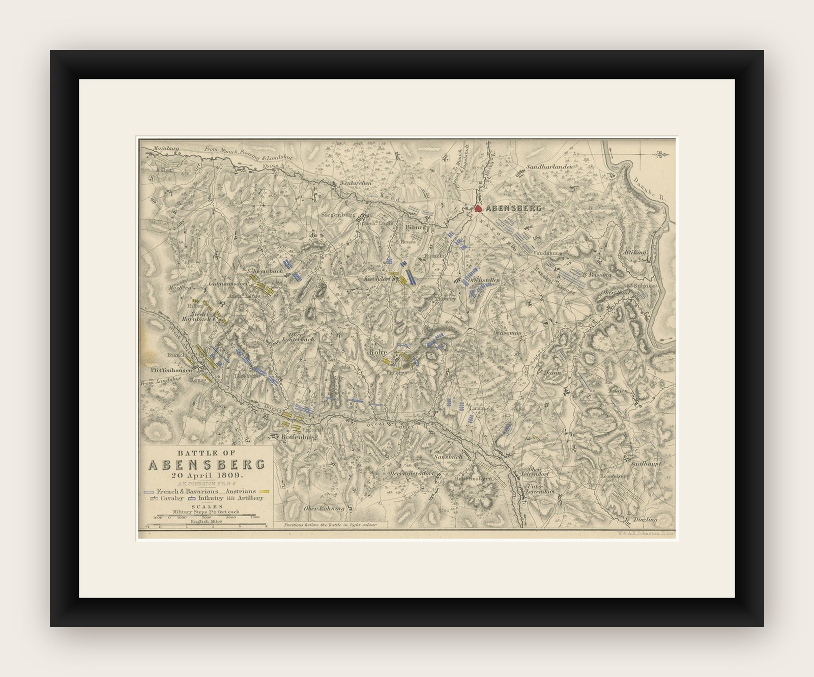
Antique Plan of the Battle of Abensberg in Germany
€140
$160 · £120
Original print, not a reproduction.
Ships worldwide from the Netherlands, flat, insured and tracked. 14-day returns. To buy, use Ask a question and we will reserve it for you.
- Date
- Not stated
- Sheet size
- 7.1 × 9 in (18 × 22.8 cm)
- Condition
- Fair. General age-related toning. Defects in left margin. Shows some wear and foxing, blank verso. Please study image carefully.
- Collection
- Campaign maps
- Stock no.
- f_34760722
Antique battle map titled 'Battle of Abensberg 20 April 1809'. Plan of the Battle of Abensberg, fought on 20 April 1809 between a Franco-German force under the command of Emperor Napoleon I of France and a reinforced Austrian corps led by Feldmarschall-Leutnant Archduke Louis of Austria. This print originates from 'Atlas to Alison's history of Europe: constructed and arranged under the direction of Sir Archibald Alison (..)' by W. & A.K. Johnston. Published 1852.