Close-ups
Framed and on the wall


Frame and rooms are illustrations of how the piece could look; it is sold unframed unless the description says otherwise.
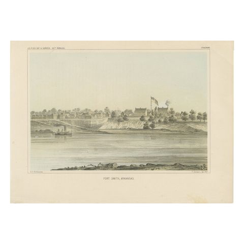
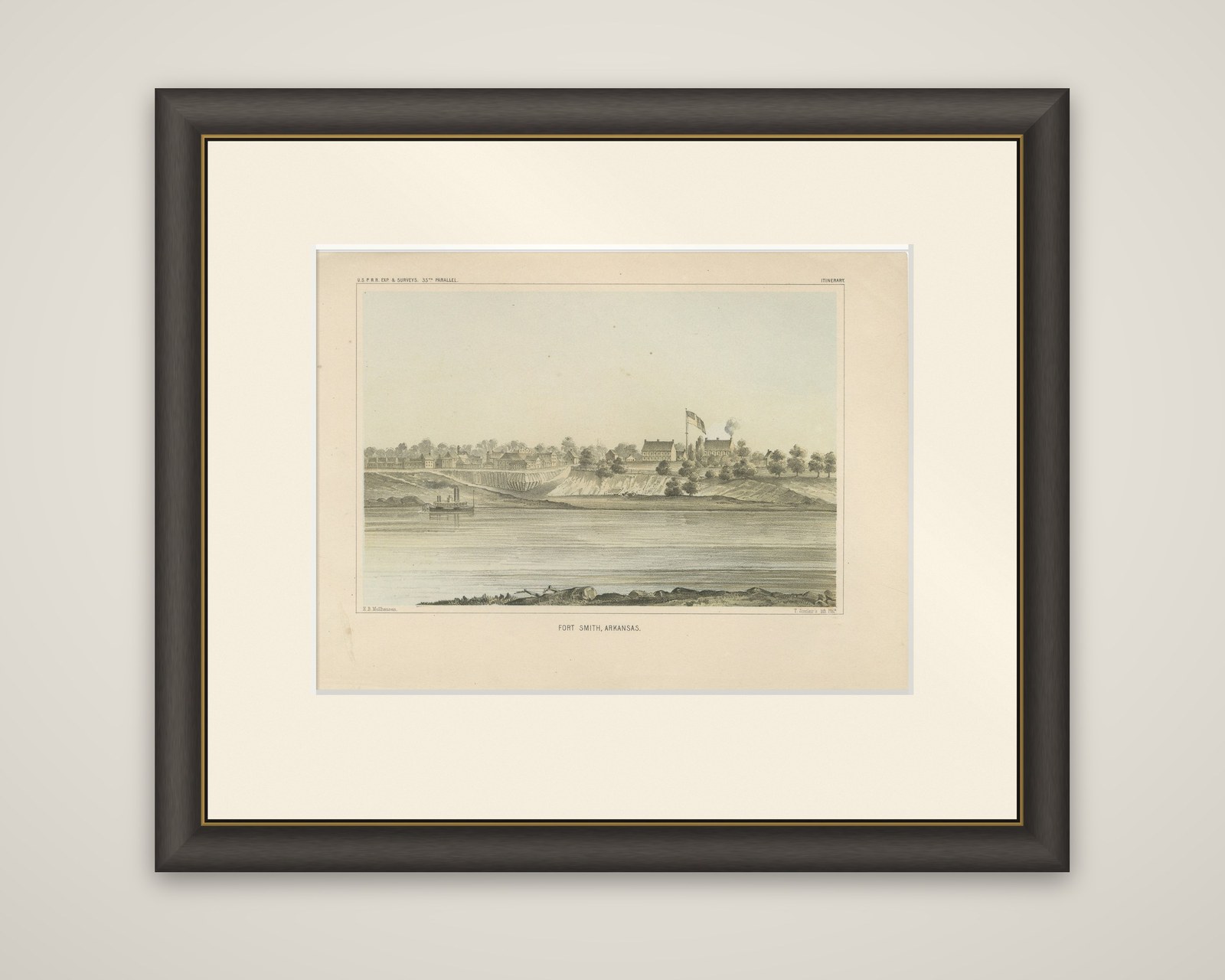
Historic View of Fort Smith, Arkansas, Overlooking the Arkansas River, 1856
$250
€220 · £185
Original print, not a reproduction.
Ships worldwide from the Netherlands, flat, insured and tracked. 14-day returns. To buy, use Ask a question and we will reserve it for you.
- Date
- 1856
- Sheet size
- 8.1 × 11.1 in (20.7 × 28.3 cm)
- Condition
- Light toning with minimal foxing; overall excellent condition with vibrant colors and well-preserved details.
- Collection
- Sieges & fortresses
- Era
- 1816 to 1899, Empire and industry
- Stock no.
- f_43560552
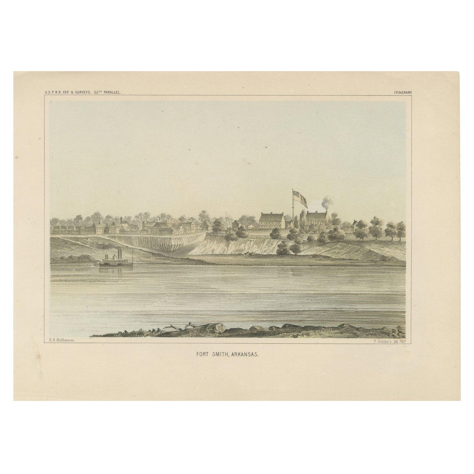
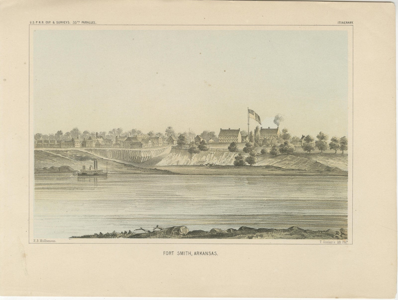
Fort Smith on the Arkansas River, a color-tinted lithograph of 1856 from the Pacific Railroad Surveys reports (heading "U.S.P.R.R. Exp. & Surveys, 35th Parallel", marked "Itinerary"). The plate is lettered "Fort Smith, Arkansas" beneath the image, with the draftsman's credit to Möllhausen at lower left and the lithographer's name at lower right.
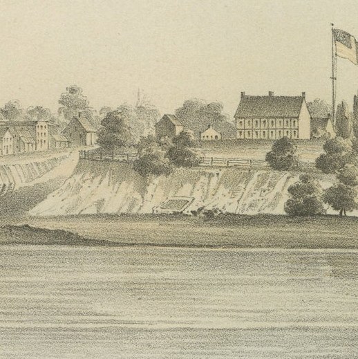
The town is seen from the far bank of the river. A line of low buildings runs along the top of a pale clay bluff at the left, and the fort's barracks stand farther right beside a tall flagpole flying the national flag, with a thin column of smoke rising behind them. A side-wheel steamboat lies at the foot of the bluff, and the broad river fills the foreground, edged by rocks and a driftwood-strewn bank.
Fort Smith, on the western edge of Arkansas, was the starting point for the survey along the 35th parallel, and the view shows the town as the surveyors found it.