Close-ups
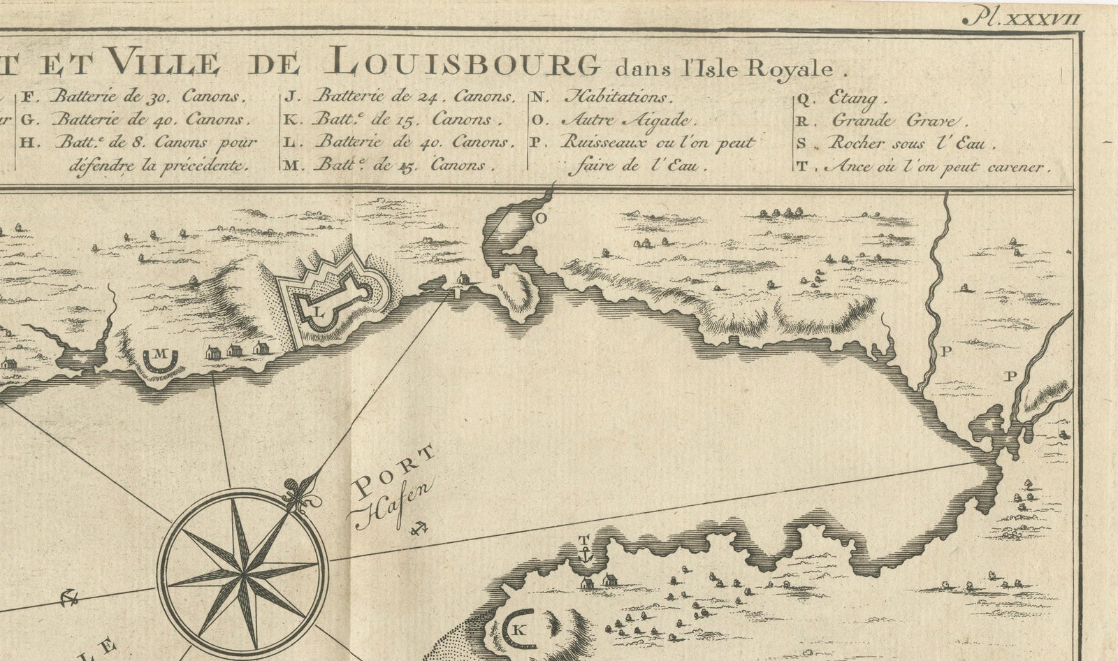
Framed and on the wall
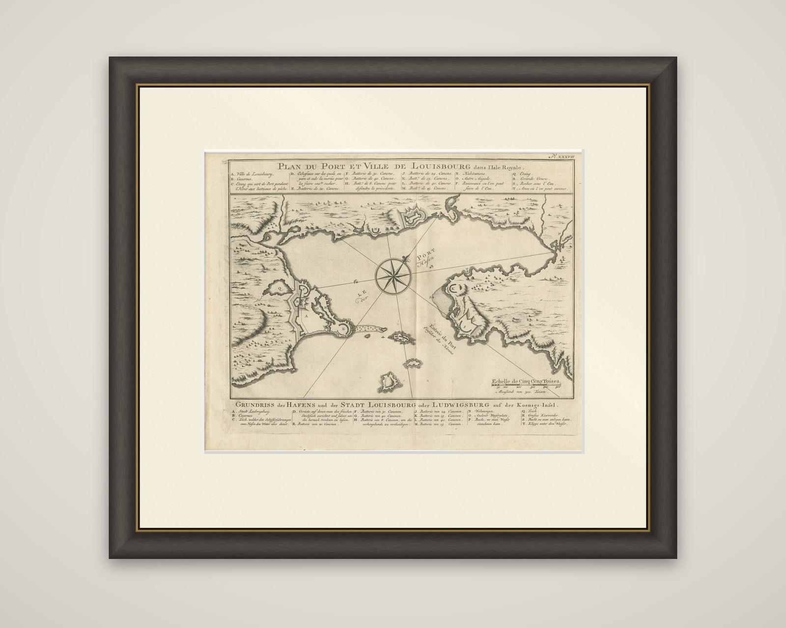
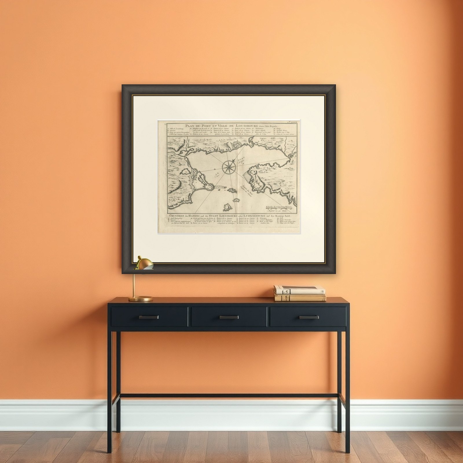

Frame and rooms are illustrations of how the piece could look; it is sold unframed unless the description says otherwise.
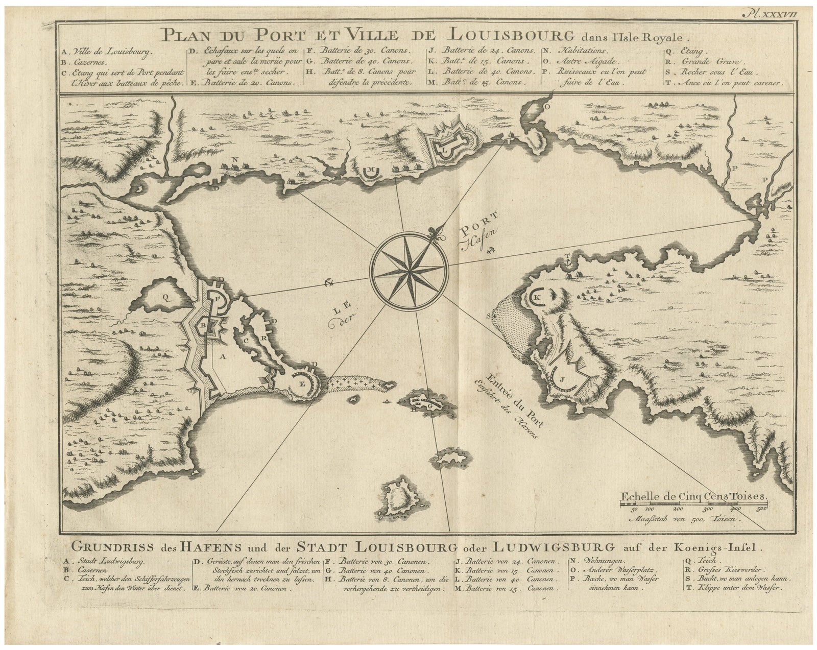
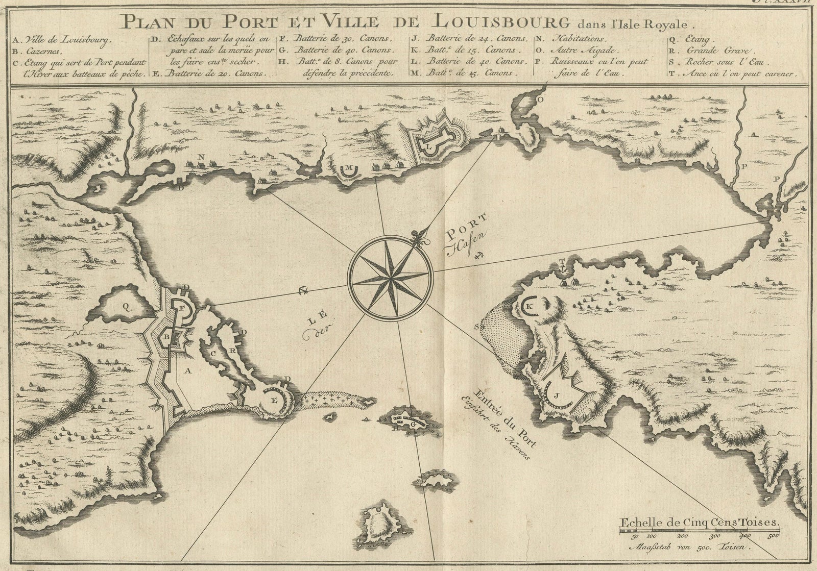
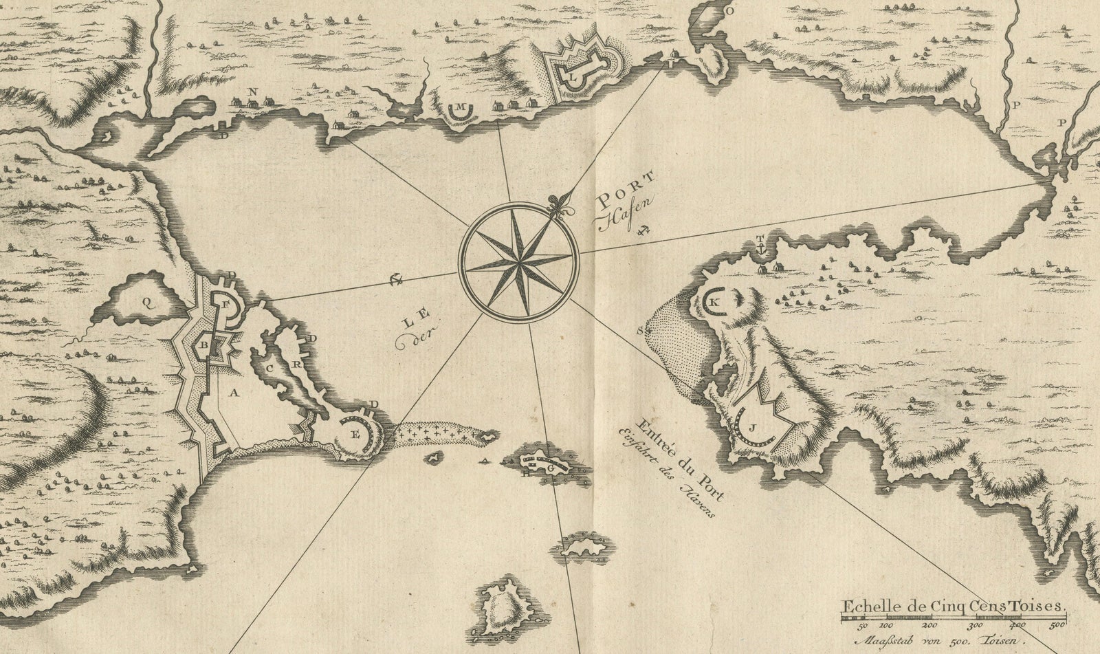
Plan of Louisbourg Harbor and Fortress, Cape Breton Island, c.1756
$445
€395 · £335
Original print, not a reproduction.
Ships worldwide from the Netherlands, flat, insured and tracked. 14-day returns. To buy, use Ask a question and we will reserve it for you.
- Date
- 1756
- Sheet size
- 9.6 × 12 in (24.3 × 30.5 cm)
- Condition
- Good. Good condition consistent with age. Light age toning and occasional minor foxing. Strong impression with wide margins. Minor handling wear at the sheet edges. One tear professionally repaired. Please examine photographs carefully.
- Collection
- Sieges & fortresses
- Era
- 1700 to 1789, Wars of the line
- Stock no.
- f_50683142
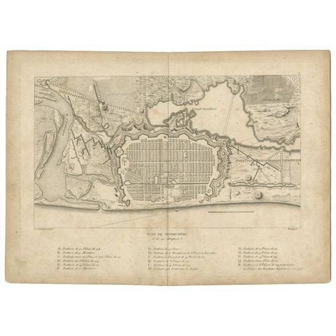
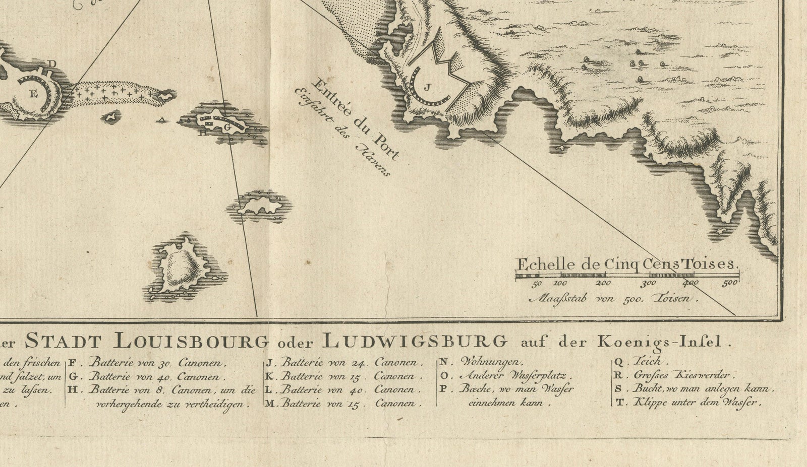
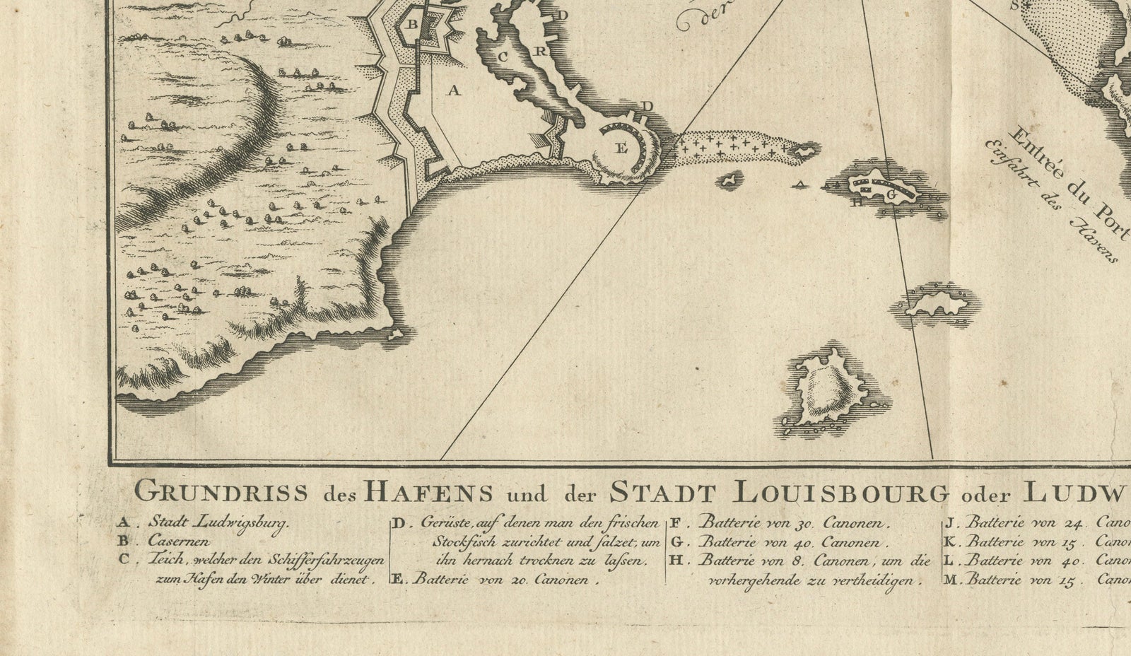
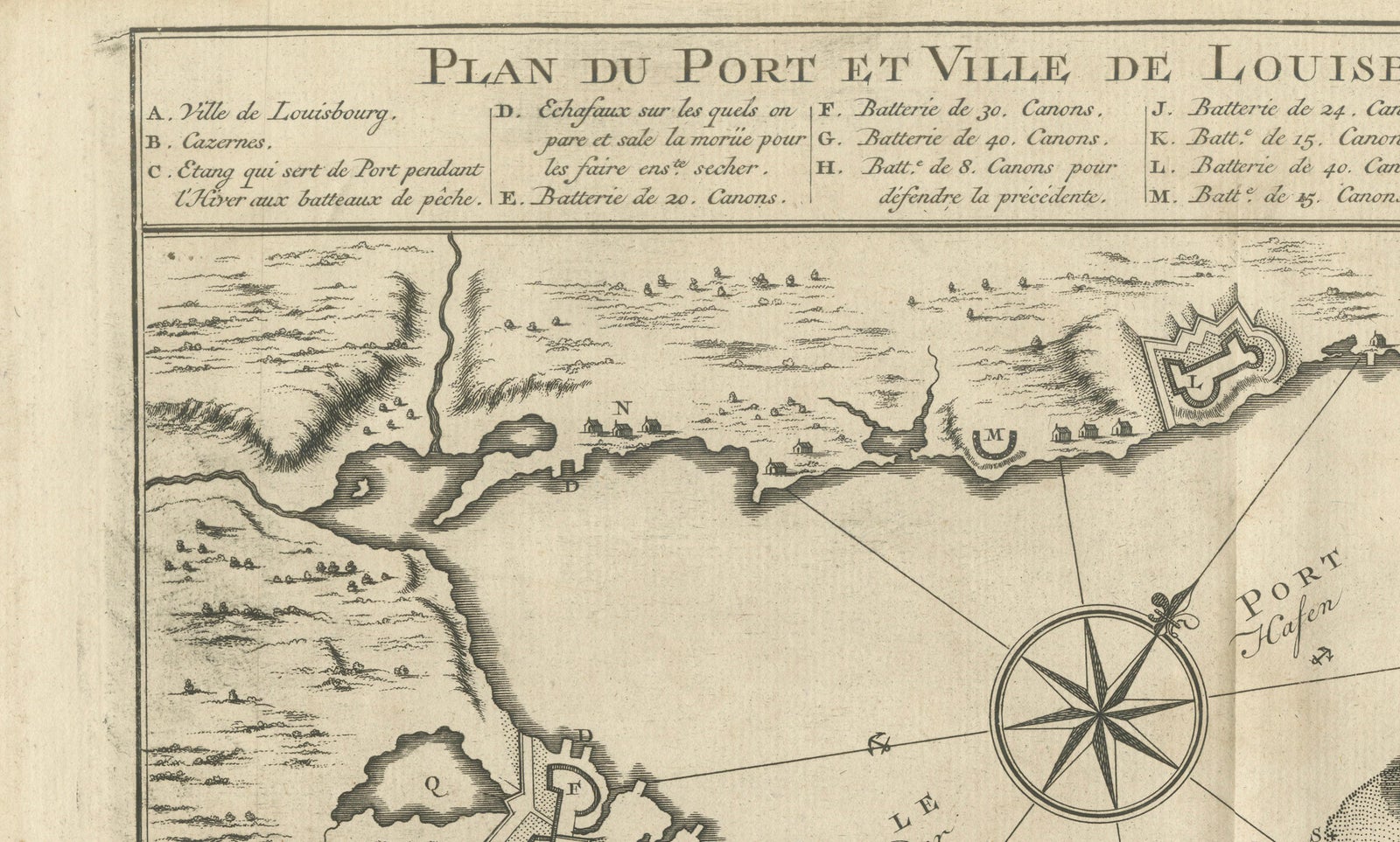
The harbor and fortress of Louisbourg on Cape Breton Island, an original copper engraving of about 1756 by Jacques-Nicolas Bellin, engraved in French with a German translation. The French title, "Plan du Port et Ville de Louisbourg dans l'Isle Royale", runs across the top above a lettered key, and a German title, "Grundriss des Hafens und der Stadt Louisbourg oder Ludwigsburg auf der Koenigs-Insel", with a matching key, appears below the plan. A plate number is at the upper right and a scale of five hundred toises sits in the lower right.
The plan shows the walled town and its bastions on the point at the left, with batteries marked by letters around the harbor and the island battery at its mouth. A large compass rose with rhumb lines stands in the center of the harbor, and the shoreline is drawn with hachures. The keys identify the town, barracks, batteries of various calibers and the places where ships could careen and take on water.
Louisbourg was the chief French fortress on the Gulf of St. Lawrence. It was taken by the British in 1745 and again in 1758, and Bellin was Hydrographer to the French Navy.