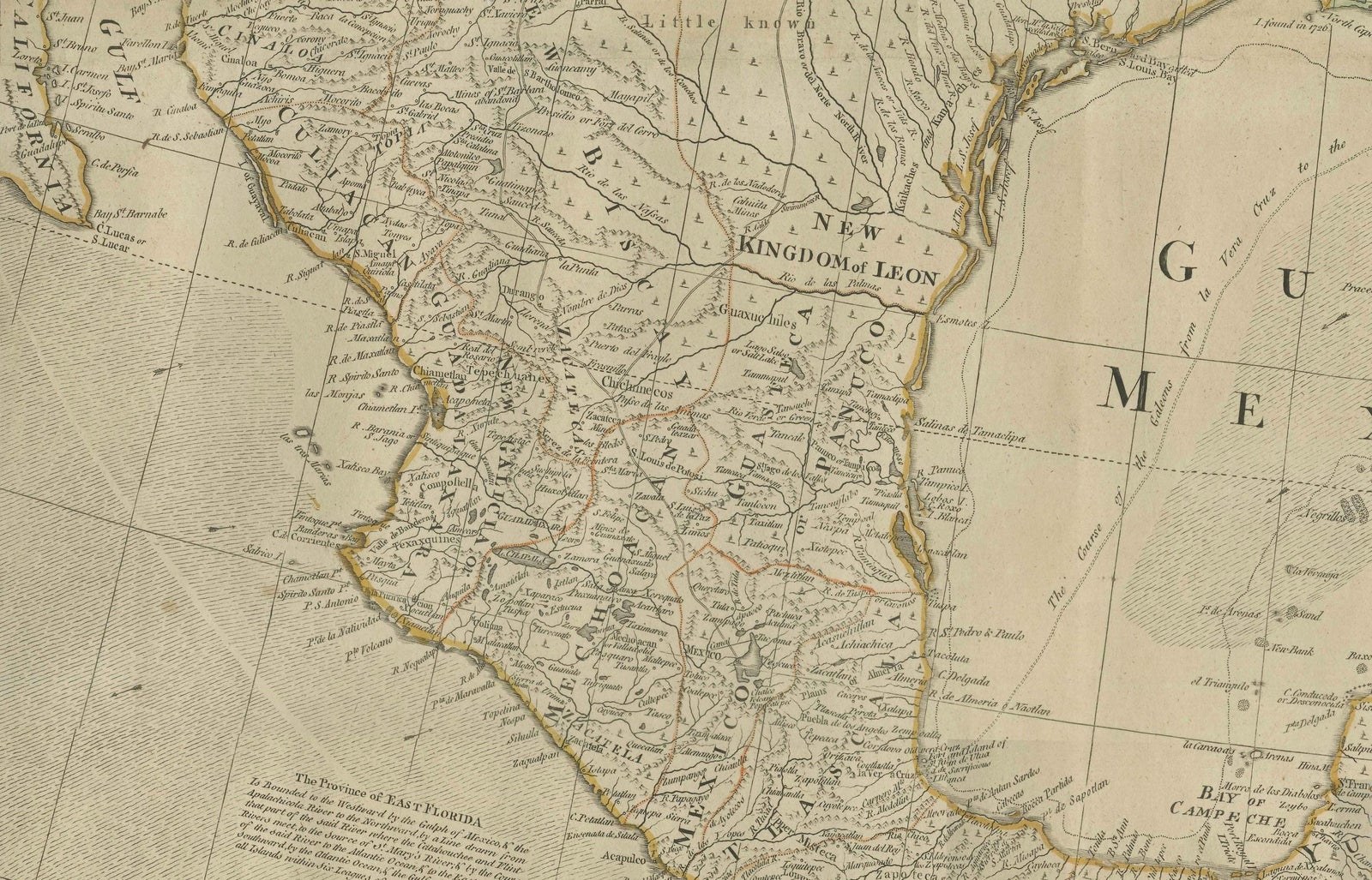
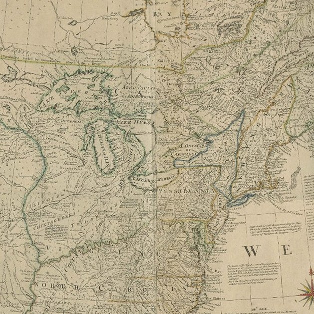
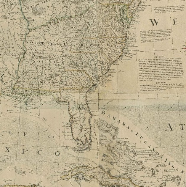
Close-ups
Framed and on the wall
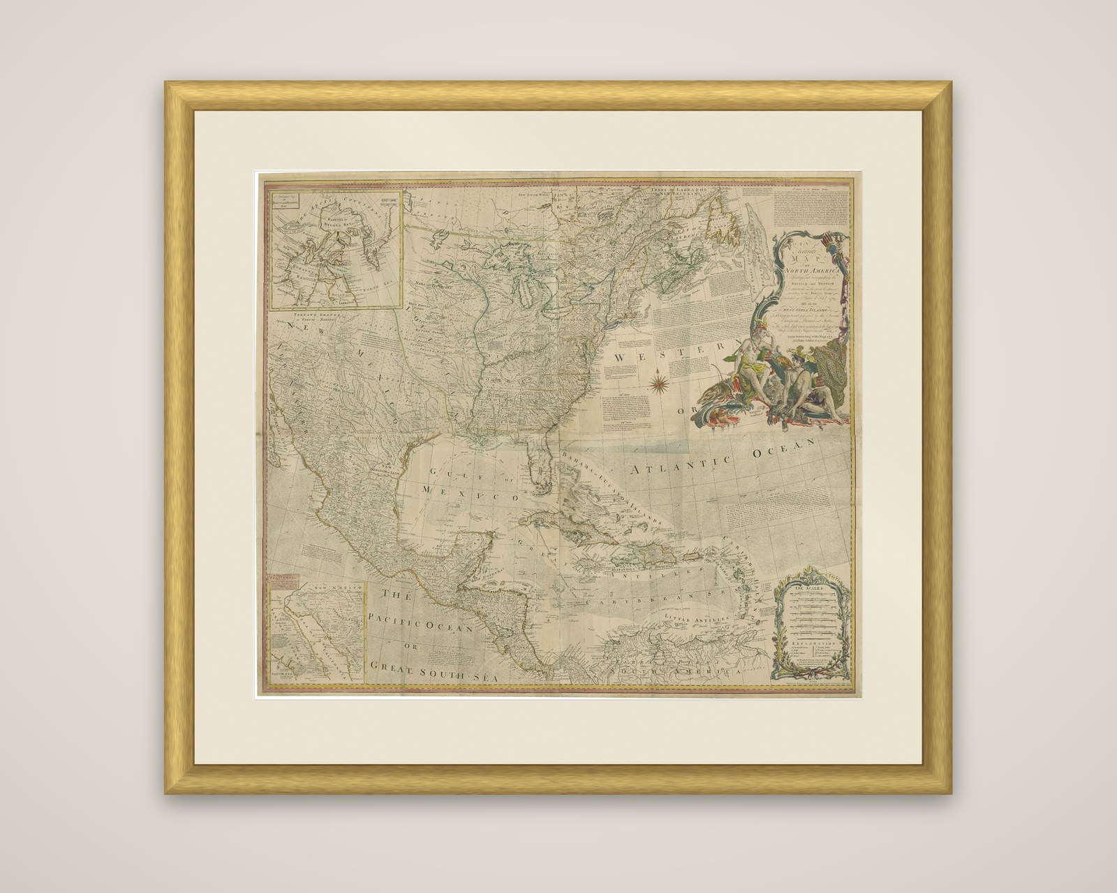
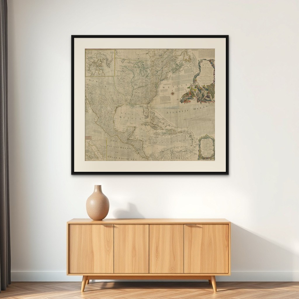

Frame and rooms are illustrations of how the piece could look; it is sold unframed unless the description says otherwise.
Rare Antique Wall-Map of North America: French and Indian War Boundaries, 1793
$7,325
€6,500 · £5,515
Original print, not a reproduction.
Ships worldwide from the Netherlands, flat, insured and tracked. 14-day returns. To buy, use Ask a question and we will reserve it for you.
- Date
- 1793
- Sheet size
- 41.1 × 47.2 in (104.5 × 120 cm)
- Condition
- Good. The map is in good condition for its age, with minor marginal stains that do not detract from its overall appearance. The engraving is clear, and the hand-coloring, where present, remains vibrant. The four sheets are expertly joined.
- Collection
- Campaign maps
- Era
- 1790 to 1815, Napoleonic wars
- Stock no.
- f_43557672
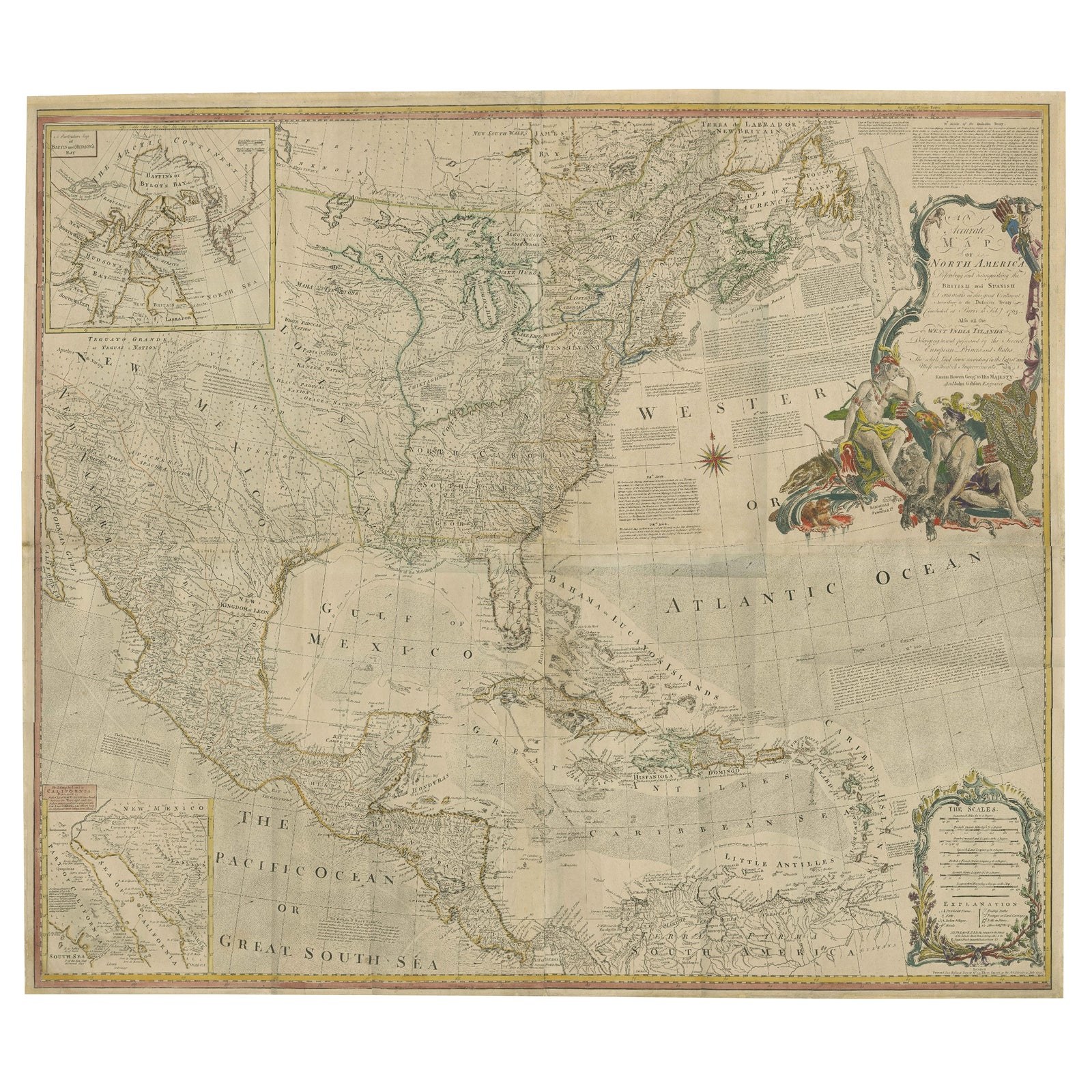
North America in four joined sheets, an original engraved wall map by Emanuel Bowen and John Gibson, published by Robert Sayer, with the date given in the fields as 1793. The title cartouche at the upper right reads "An Accurate Map of North America", with a continuation describing the British and Spanish dominions, set in a large figural cartouche of allegorical figures.
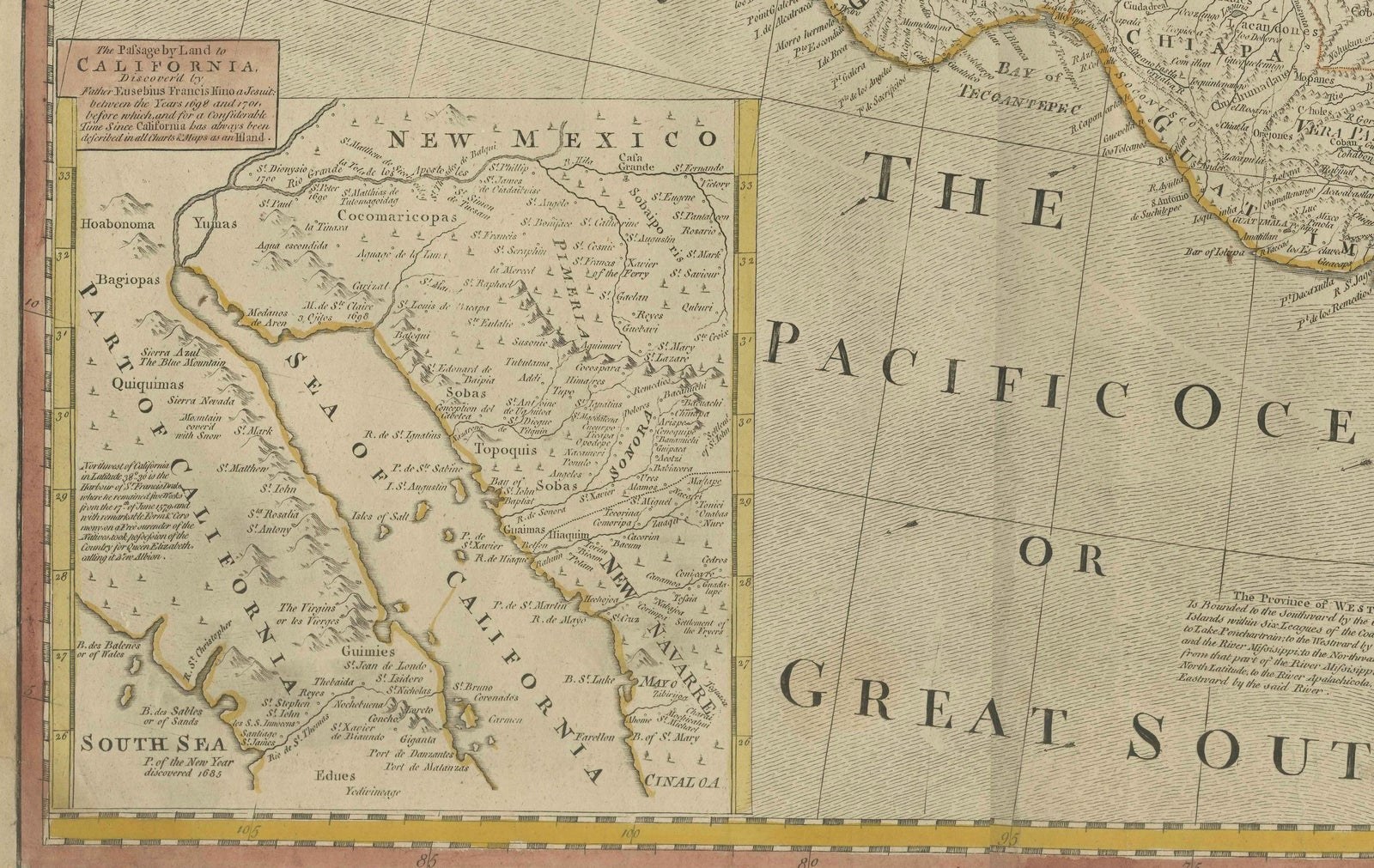
The map covers the continent from Labrador and Hudson Bay in the north to the Isthmus of Panama in the south, with the Atlantic seaboard, the Great Lakes and the Mississippi in the center, and the Gulf of Mexico, the Bahamas and the West Indies below. Spanish territories in New Mexico, Texas and Mexico fill the left side, and the Pacific is lettered "The Pacific Ocean or Great South Sea". Printed notes on the history and territory of the colonies fill blank areas of the sheet, and the map is hand-colored in outline. Two insets appear at the left: an inset at the top left of the northwest and the Arctic, and a smaller inset at the lower left of California.
The map is large in format, with a scale in a decorative cartouche at lower right.