Close-ups
Framed and on the wall
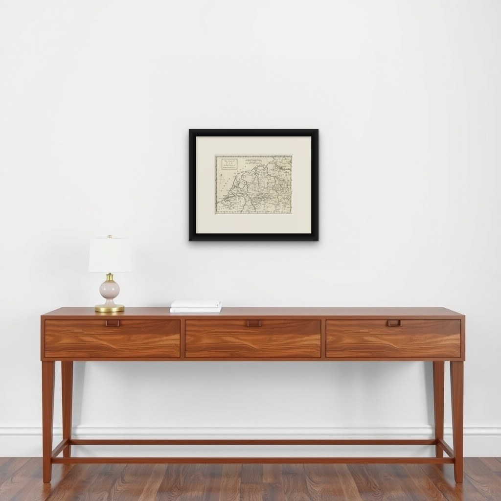

Frame and rooms are illustrations of how the piece could look; it is sold unframed unless the description says otherwise.
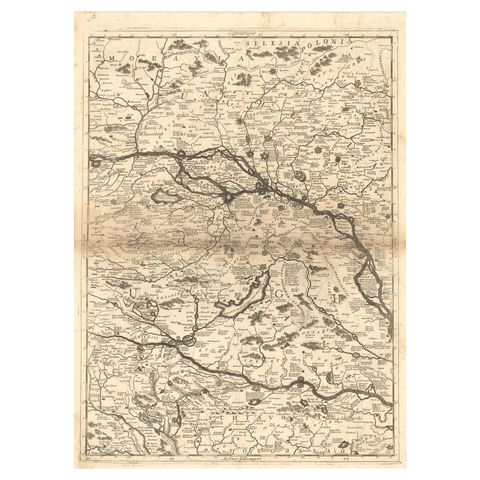
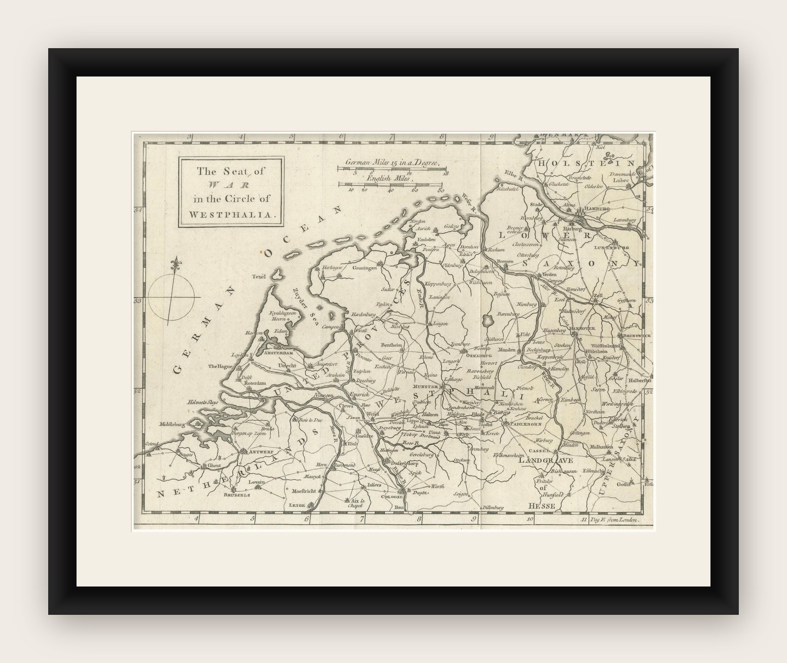
Seat of War Westphalia Map, Antique Military Map Netherlands Germany, 1763
£275
$365 · €324
Original print, not a reproduction.
Ships worldwide from the Netherlands, flat, insured and tracked. 14-day returns. To buy, use Ask a question and we will reserve it for you.
- Date
- 1763
- Sheet size
- 8.3 × 10.7 in (21.2 × 27.3 cm)
- Condition
- Good. Very good condition overall with a pleasing age tone. Original fold lines visible as issued. Light age-related wear and minor handling marks consistent with an engraved map of this period; clean and attractive impression.
- Collection
- Campaign maps
- Era
- 1700 to 1789, Wars of the line
- Stock no.
- f_48857132
Seat of War Westphalia Map 1763, Antique Military Map Netherlands Germany
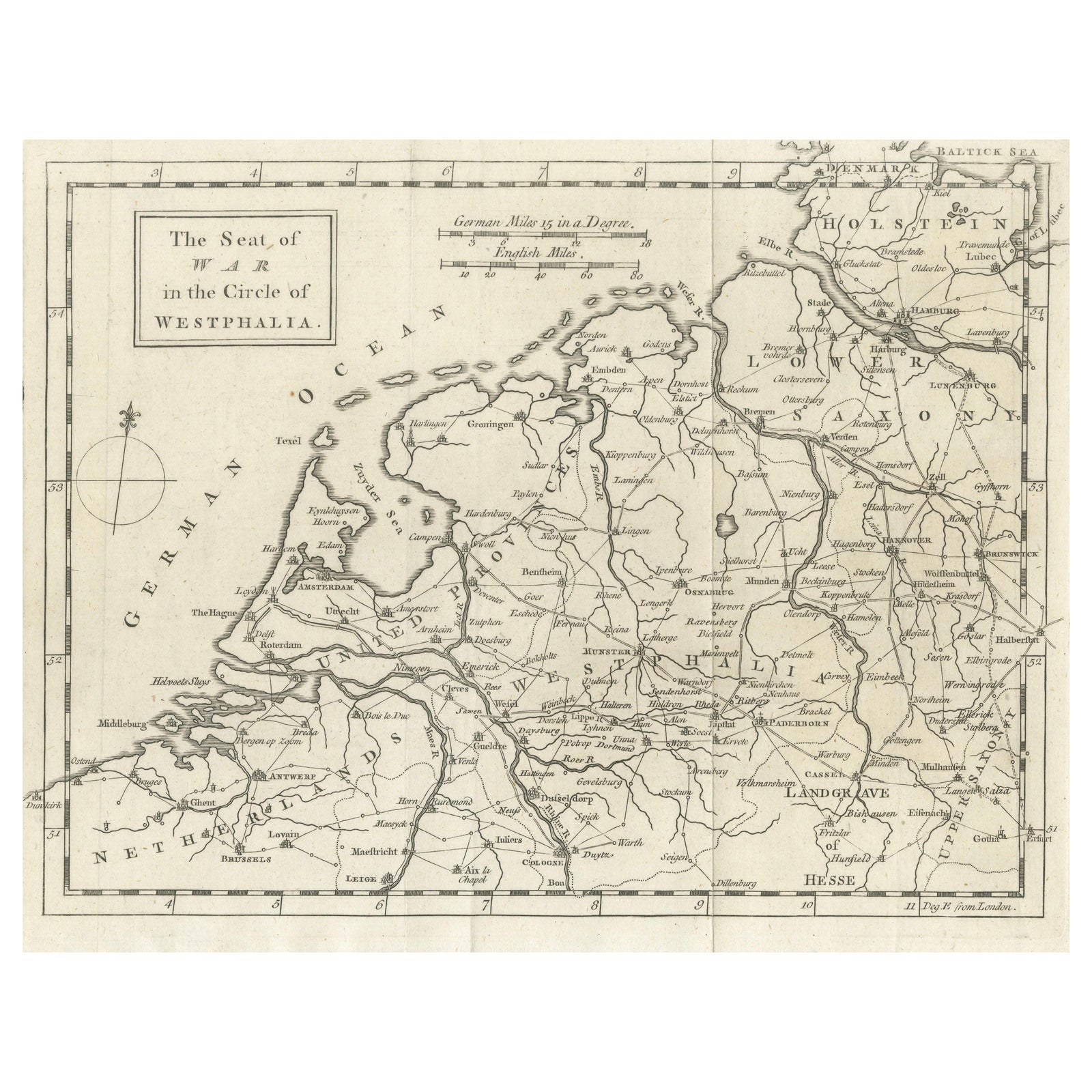
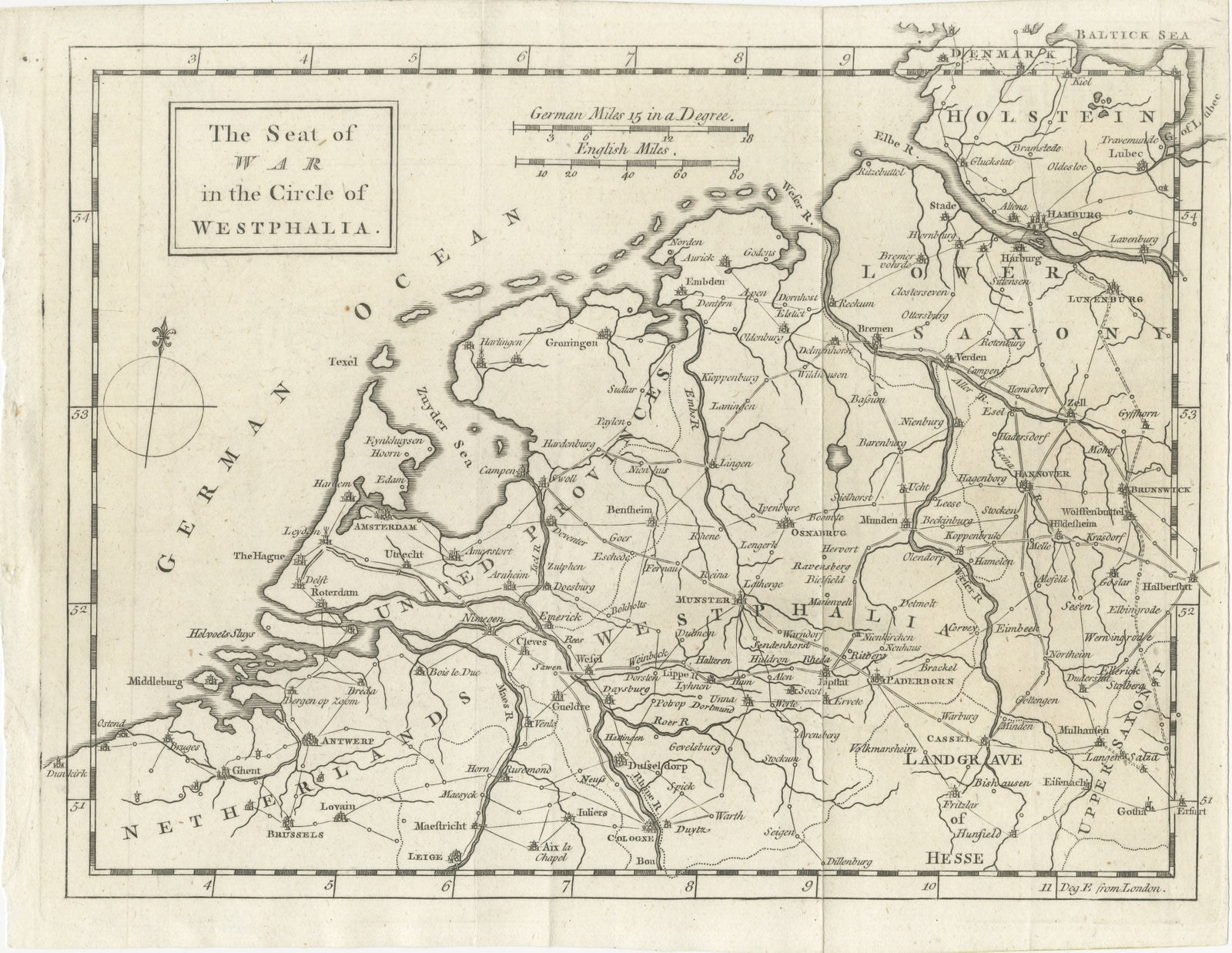
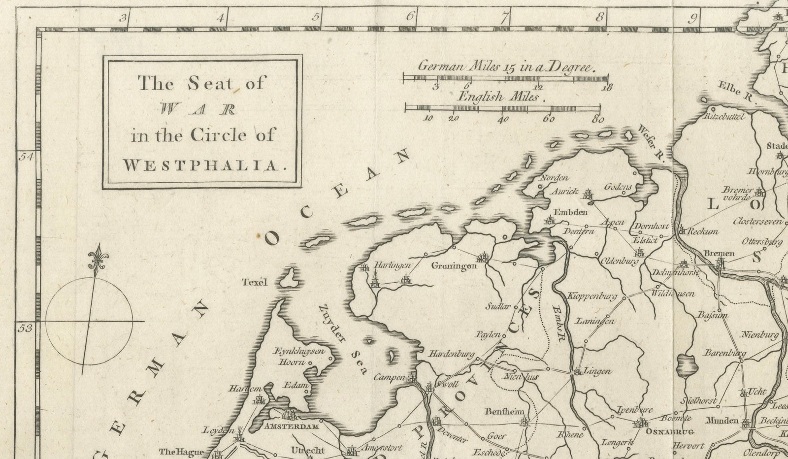
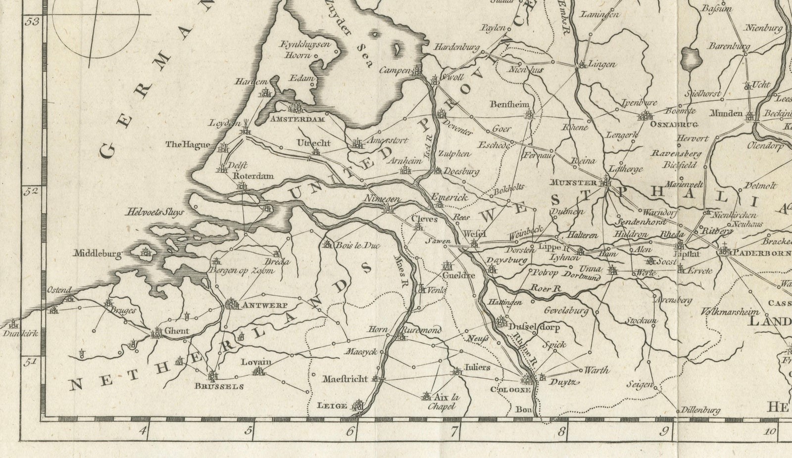
An elegant mid-18th century engraved map titled “The Seat of War in the Circle of Westphalia,” dating to 1763 and depicting a strategically significant region spanning the eastern Netherlands, Westphalia, Saxony, and adjacent German territories. Produced during a period marked by military conflict and shifting political boundaries, this map reflects the cartographic and historical context surrounding the later stages of the Seven Years’ War, when Westphalia and neighboring regions were of considerable strategic importance.
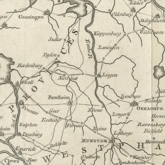
The composition covers a broad geographic area extending from the Dutch coast and Amsterdam through Münster, Osnabrück, and Hanover, reaching into Saxony and Hesse. Major cities, rivers, and road networks are finely engraved, illustrating both the military and commercial geography of northern Europe. The presence of detailed route connections and regional boundaries suggests a functional purpose related to military planning or contemporary geographic reporting, while the clean layout and restrained ornamentation lend the map a refined and highly decorative appearance.
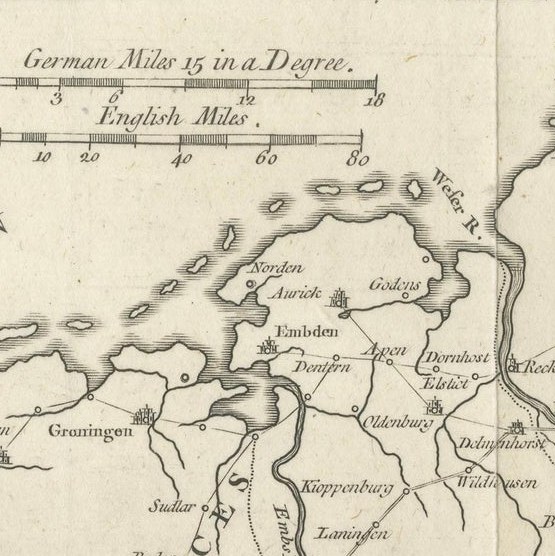
Executed in copper engraving, the map demonstrates precise linework characteristic of British or European mid-18th century cartographic production. The title cartouche, compass rose, and scale indicators add visual balance to the design, while the strong typographic clarity enhances readability. The coastline of the North Sea and the Dutch provinces is rendered with elegant simplicity, providing contrast to the denser inland network of towns and roads.
Maps depicting military theaters or “seats of war” have long been sought after by collectors due to their historical relevance and narrative context. Beyond its historical interest, this piece holds strong decorative appeal, especially for interiors that favor historical or classical European themes. Its horizontal orientation makes it particularly effective for display above desks, consoles, or within gallery wall arrangements.
Condition: Very good condition overall with a pleasing age tone. Original fold lines visible as issued. Light age-related wear and minor handling marks consistent with an engraved map of this period; clean and attractive impression.
Framing tips: Best presented in a dark walnut or black frame with an ivory or warm-neutral mat to emphasize the fine engraving lines. A mat border of approximately 6–8 cm (2.5–3 inches) enhances the composition and gives the piece a refined gallery presentation.
Technique: Copper engraving
Maker: Anonymous European engraver, circa 1763