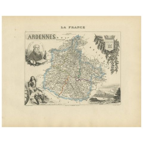
1816 to 1899: Empire and industry
Military maps and prints printed between 1816 and 1899: empire and industry. Every one a period original.
13 pieces
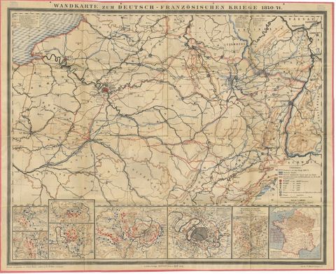
Franco-Prussian War Campaign Map of France and Germany, Original 1871
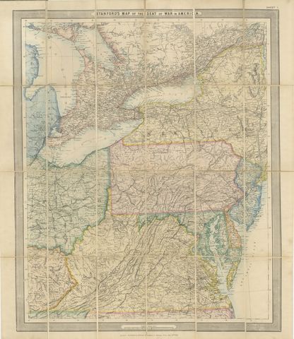
American Civil War “Seat of War” Map, Published Just After Bull Run, 1861
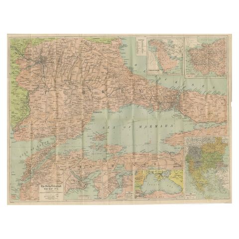
Daily Telegraph War Map 1877, Ottoman Empire, Balkans & Constantinople Antique
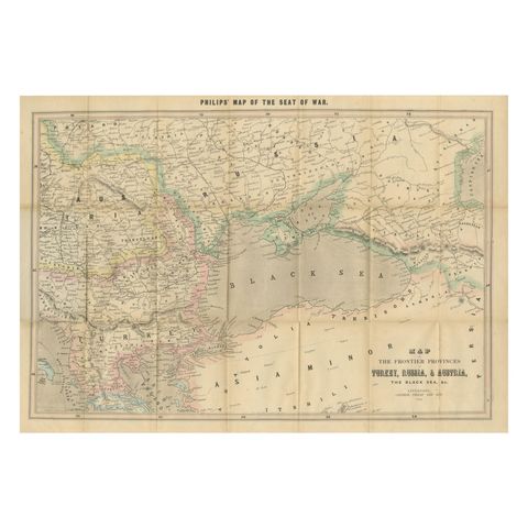
Philips Map of the Seat of War 1854, Black Sea, Turkey & Russia Antique Map
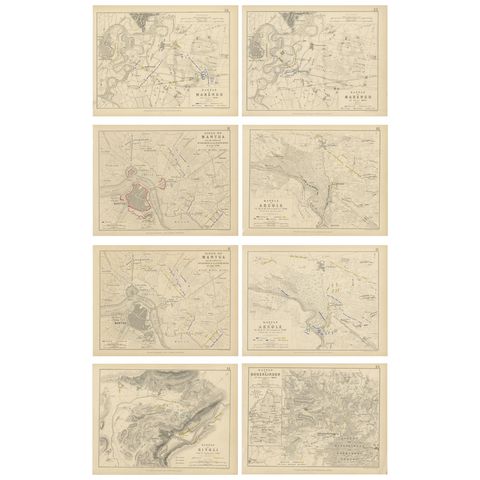
Set of 8 Battle Plans, Rivoli, Arcole, Mantua, Marengo, Hohenlinden, 1852
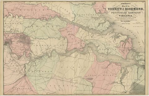
1862 Johnson's Map of the Vicinity of Richmond & Peninsular Campaign, Virginia
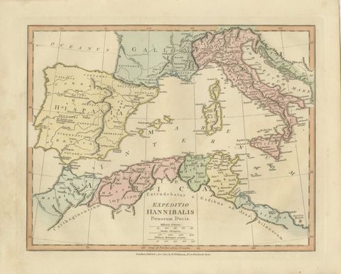
Hannibal’s Campaign Map, Spain to Italy via Alps, Wilkinson London 1817
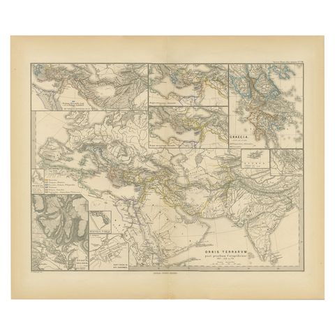
The World After the Battle of Corupedium: Hellenistic Kingdoms Map, 1880
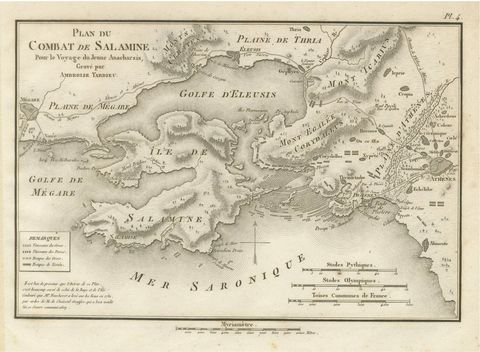
Original Antique Battle Map of Salamis, Ambroise Tardieu, 1821
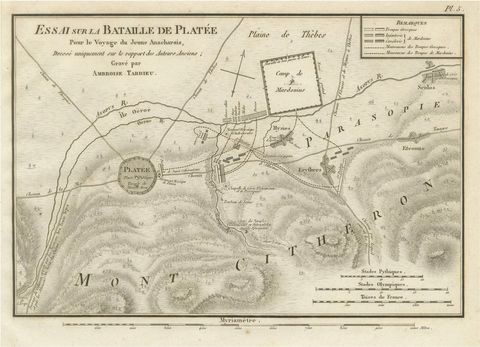
Battle of Plataea Ancient Greece Military Map by Ambroise Tardieu, 1825
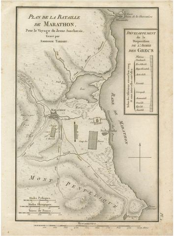
Antique Plan of the Battle of Marathon by Ambroise Tardieu, 1825
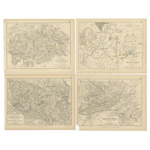
Four Antique Battle Plans of Echmühl, Hohenlinden, Abensberg and Marengo, 1852