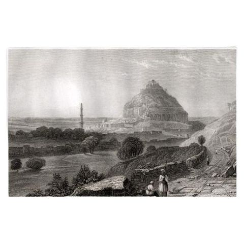
1816 to 1899: Empire and industry
Military maps and prints printed between 1816 and 1899: empire and industry. Every one a period original.
18 pieces
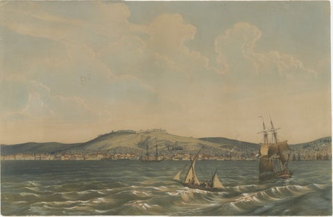
View of the Dardanelles: Fortified Hill and Ships, Hand-Colored Lithograph, 1840
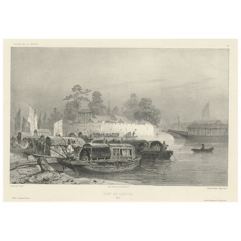
Antique Print of a Fortress in Guangzhou in China, c.1850
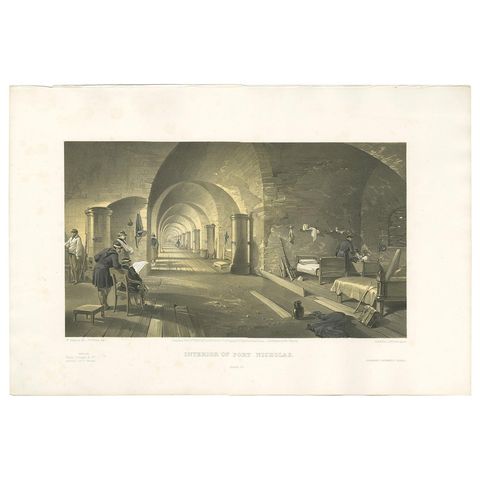
Antique Print of Fort Nicholas 'Crimean War' by W. Simpson, 1855
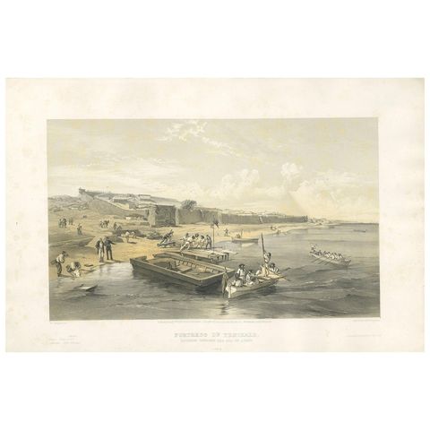
Antique Print of the Fortress of Yenikale 'Crimean War' by W. Simpson, 1855
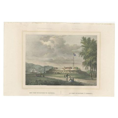
Antique Print with View of Fort Duurstede on Saparua, Indonesia, 1844
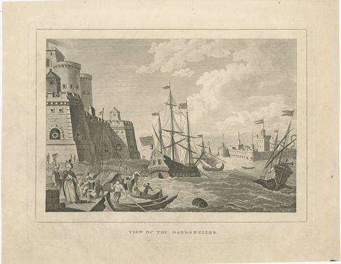
View of the Dardanelles, Ottoman Fortress, Antique Engraving, circa 1820
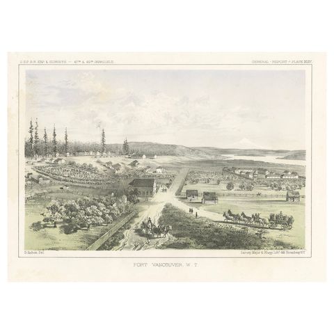
Fort Vancouver, Washington Territory, U.S. Railroad Survey View, ca.1850
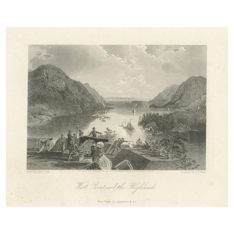
West Point and the Highlands, Hudson River Military View, 1869 Engraving
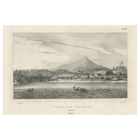
Antique Print of a Dutch Fortress in Manado Bay, Sulawesi, Indonesia, 1833
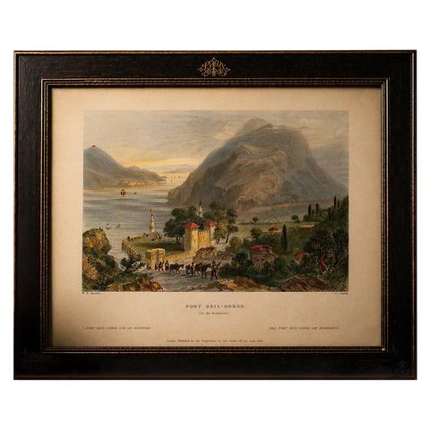
Antique Bosporus View with Beil-Gorod Fort, Bartlett Constantinople, ca.1839
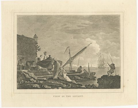
View in the Levant, Ottoman Harbour and Fortress, Antique Engraving, circa 1820
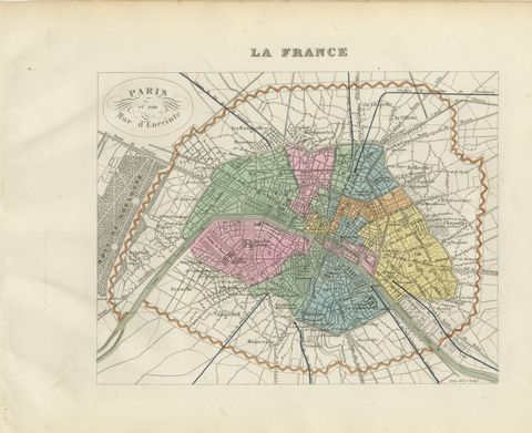
Antique Plan of Paris and its Fortified Enceinte, Vuillemin, circa 1860
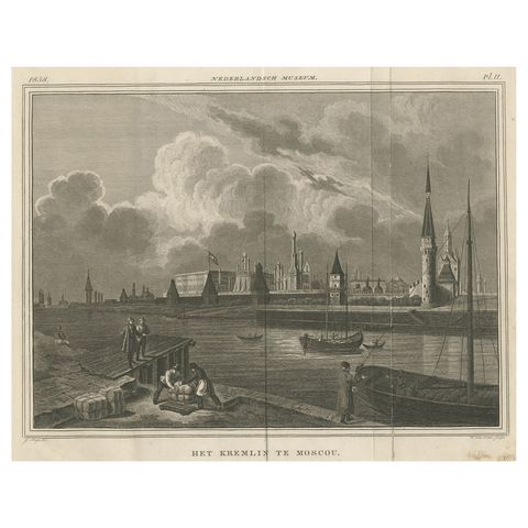
View of the Moscow Kremlin, a Fortified Complex in the Russian Capital, 1838
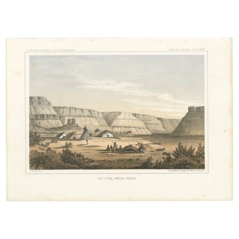
Original Antique Tinted Lithograph of Old Fort Walla Walla in Washington, 1856
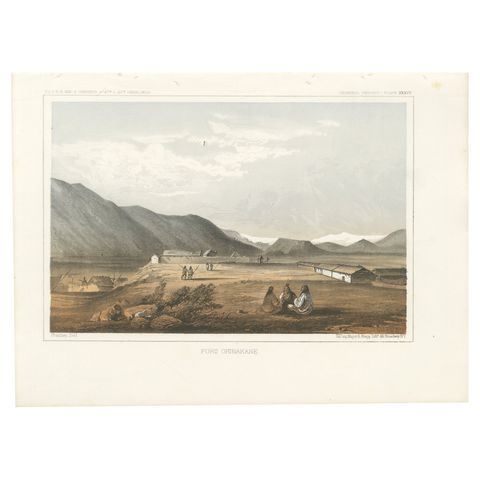
Fort Okinakane, Tinted Lithograph from the Pacific Railroad Survey, 1856
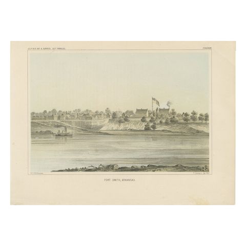
Fort Smith, Arkansas, Rare 19th Century Lithograph of Frontier History, 1856
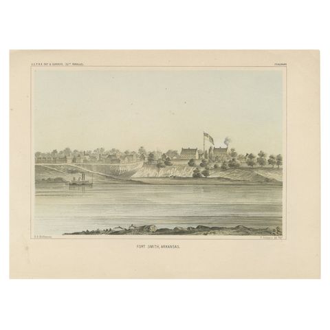
Historic View of Fort Smith, Arkansas, Overlooking the Arkansas River, 1856