American wars and forts: Antique Maps and Prints
War in the Americas in original prints and maps: the French and Indian War, the landing of the British in New York in 1776, the American Civil War, the frontier forts of the West, and the French intervention in Mexico.
17 pieces
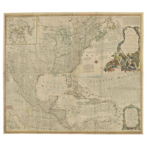
Rare Antique Wall-Map of North America: French and Indian War Boundaries, 1793
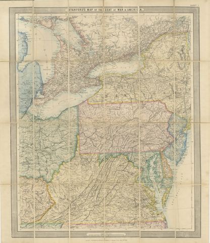
American Civil War “Seat of War” Map, Published Just After Bull Run, 1861
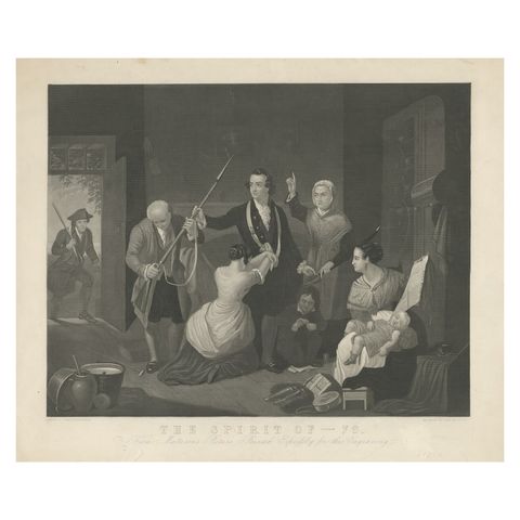
Antique Print of a Scene in American Revolution, The Spirit of '76. '1862'
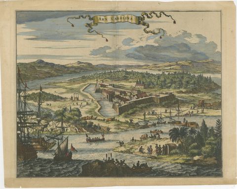
Fort Caroline in Florida, Montanus Engraving, Early America View 1671
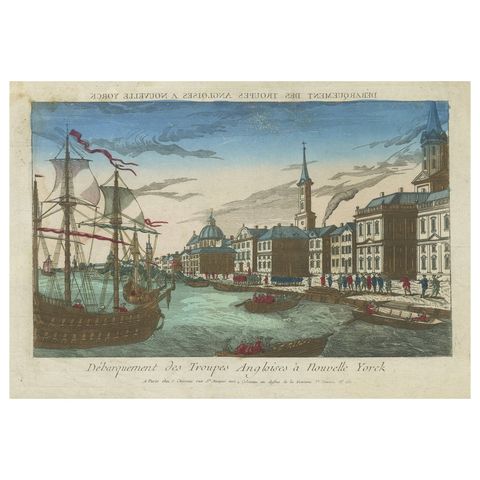
Landing of the British Troops in New York, Hand-Colored Optical View, ca. 1776
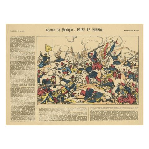
Battle of Puebla, French Intervention in Mexico, Épinal Print, 1863
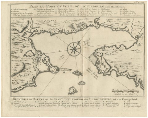
Plan of Louisbourg Harbor and Fortress, Cape Breton Island, c.1756
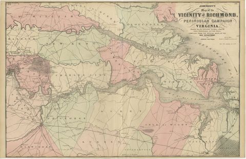
1862 Johnson's Map of the Vicinity of Richmond & Peninsular Campaign, Virginia
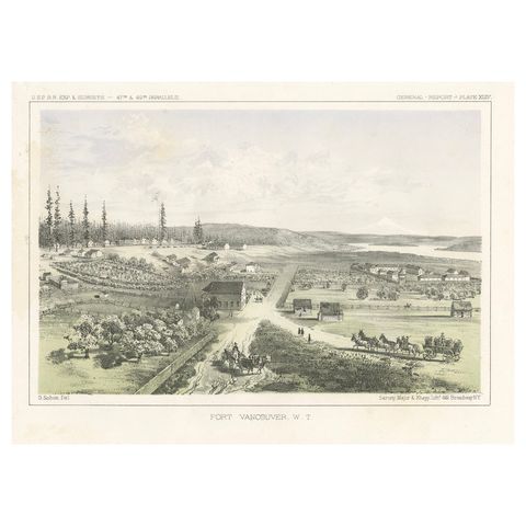
Fort Vancouver, Washington Territory, U.S. Railroad Survey View, ca.1850
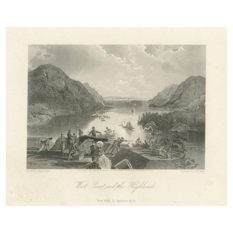
West Point and the Highlands, Hudson River Military View, 1869 Engraving
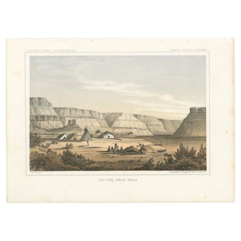
Original Antique Tinted Lithograph of Old Fort Walla Walla in Washington, 1856
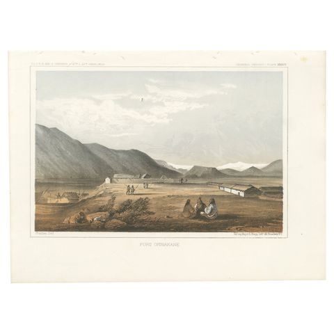
Fort Okinakane, Tinted Lithograph from the Pacific Railroad Survey, 1856
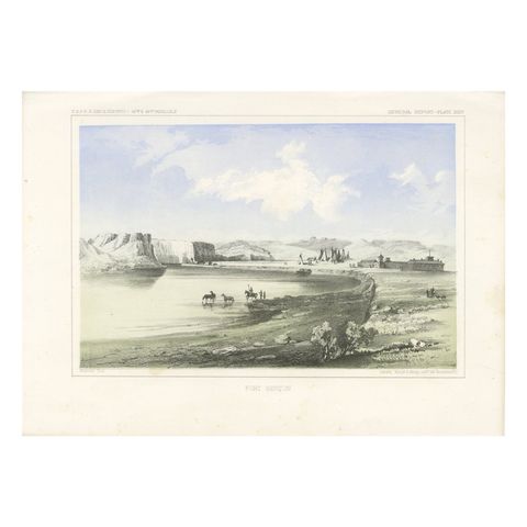
Historic Fort Benton Along the Missouri River, 19th Century Lithograph Print
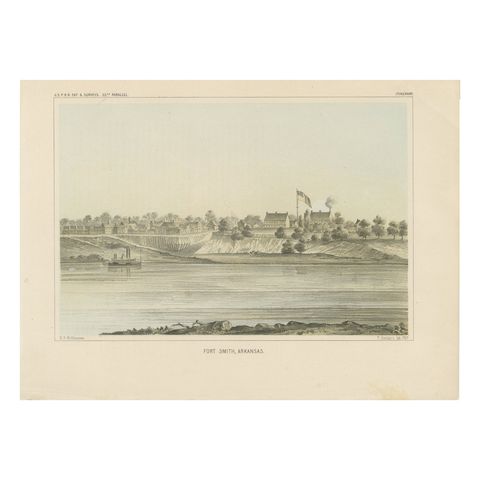
Fort Smith, Arkansas, Rare 19th Century Lithograph of Frontier History, 1856
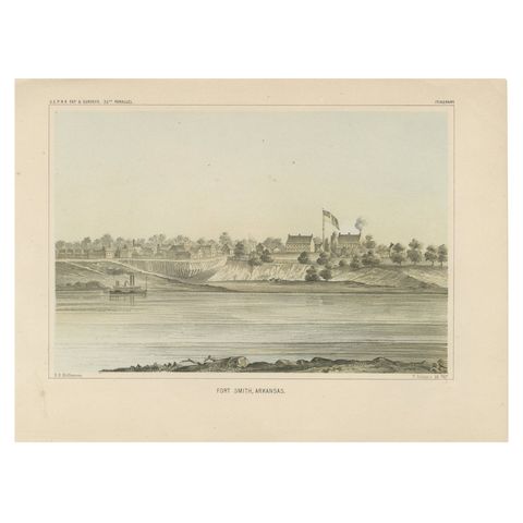
Historic View of Fort Smith, Arkansas, Overlooking the Arkansas River, 1856
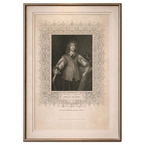
Antique Portrait Prince Rupert, English Civil War Commander, c.1850
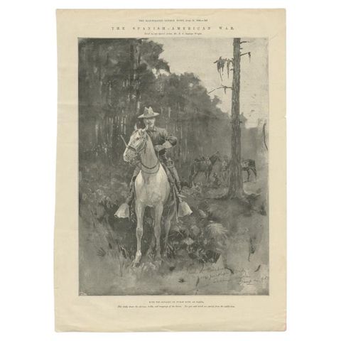
Antique Print of Cavalry at Tampa by London News, 1898
More to explore
WARS